191 Upper Sunset Dr Unit APN 001-080-014 & 02 Sonora, CA 95370
Estimated Value: $392,000 - $486,705
3
Beds
2
Baths
1,689
Sq Ft
$260/Sq Ft
Est. Value
About This Home
This home is located at 191 Upper Sunset Dr Unit APN 001-080-014 & 02, Sonora, CA 95370 and is currently estimated at $438,926, approximately $259 per square foot. 191 Upper Sunset Dr Unit APN 001-080-014 & 02 is a home located in Tuolumne County with nearby schools including Sonora Elementary School, Theodore Bird High School, and Dario Cassina High School.
Ownership History
Date
Name
Owned For
Owner Type
Purchase Details
Closed on
Mar 18, 2022
Sold by
Ruby F Burgess Irrevocable Trust
Bought by
Roos Amanda and Roos Stephen
Current Estimated Value
Home Financials for this Owner
Home Financials are based on the most recent Mortgage that was taken out on this home.
Original Mortgage
$388,000
Outstanding Balance
$363,483
Interest Rate
4.16%
Mortgage Type
Balloon
Estimated Equity
$75,443
Purchase Details
Closed on
Dec 21, 2012
Sold by
Burgess Daniel M
Bought by
Burgess Daniel M
Create a Home Valuation Report for This Property
The Home Valuation Report is an in-depth analysis detailing your home's value as well as a comparison with similar homes in the area
Home Values in the Area
Average Home Value in this Area
Purchase History
| Date | Buyer | Sale Price | Title Company |
|---|---|---|---|
| Roos Amanda | $485,000 | Fidelity National Title | |
| Burgess Daniel M | -- | None Available |
Source: Public Records
Mortgage History
| Date | Status | Borrower | Loan Amount |
|---|---|---|---|
| Open | Roos Amanda | $388,000 |
Source: Public Records
Tax History
| Year | Tax Paid | Tax Assessment Tax Assessment Total Assessment is a certain percentage of the fair market value that is determined by local assessors to be the total taxable value of land and additions on the property. | Land | Improvement |
|---|---|---|---|---|
| 2025 | $4,681 | $451,012 | $111,426 | $339,586 |
| 2024 | $4,681 | $442,170 | $109,242 | $332,928 |
| 2023 | $4,669 | $433,500 | $107,100 | $326,400 |
| 2022 | $1,112 | $110,107 | $27,691 | $82,416 |
| 2021 | $1,087 | $107,949 | $27,149 | $80,800 |
| 2020 | $1,072 | $106,843 | $26,871 | $79,972 |
| 2019 | $1,009 | $102,298 | $26,345 | $75,953 |
| 2018 | $1,019 | $100,293 | $25,829 | $74,464 |
| 2017 | $972 | $98,327 | $25,323 | $73,004 |
| 2016 | $952 | $96,400 | $24,827 | $71,573 |
| 2015 | $936 | $94,953 | $24,455 | $70,498 |
| 2014 | $911 | $93,094 | $23,976 | $69,118 |
Source: Public Records
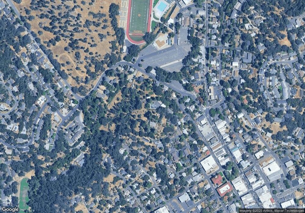
Map
Nearby Homes
- 169 N Shepherd St
- 40 Upper Sunset Dr
- 20556 Columbia Way
- 56 Bradford St
- 165 Bradford St
- 250 Pasadena Ave
- 000 Lot 498 Oxbow Ln N
- 138 Steffen Ln
- 105 Terrace Ave
- 216 Theall St
- 6 S Forrest
- 247 Mccormick Dr
- 471 Arbona Cir N
- 351 S Stewart St
- 391 S Stewart St
- 546 Dusk Ln
- 605 Daybreak Ct
- 506 Morning Star Ct
- 284 Gerrymander Ave
- 38 Saratoga Rd
- 191 Upper Sunset Dr
- 151 N Norlin St
- 87 Snell St Unit 14570
- 87 Snell St
- 99 Snell St
- 61 Snell St
- 150 N Norlin St
- 139 Snell St
- 129 Snell St
- 94 Snell St
- 137 N Norlin St
- 128 Snell St
- 149 Snell St
- 175 Upper Sunset Dr
- 29 Snell St
- 136 N Green St
- 121 Upper Sunset Dr
- 19 Snell St
- 135 Upper Sunset Dr
- 126 N Norlin St
Your Personal Tour Guide
Ask me questions while you tour the home.