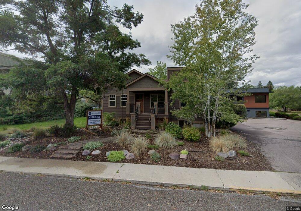
1911 S Higgins Ave Missoula, MT 59801
Rose Park NeighborhoodEstimated Value: $523,752
--
Bed
--
Bath
1,488
Sq Ft
$352/Sq Ft
Est. Value
About This Home
This home is located at 1911 S Higgins Ave, Missoula, MT 59801 and is currently estimated at $523,752, approximately $351 per square foot. 1911 S Higgins Ave is a home located in Missoula County with nearby schools including Lewis & Clark School, Washington Middle School, and Sentinel High School.
Ownership History
Date
Name
Owned For
Owner Type
Purchase Details
Closed on
Jun 20, 2013
Sold by
Sibs Llp
Bought by
Three Little Chickens Llc
Current Estimated Value
Home Financials for this Owner
Home Financials are based on the most recent Mortgage that was taken out on this home.
Original Mortgage
$250,000
Outstanding Balance
$176,961
Interest Rate
3.38%
Mortgage Type
Commercial
Estimated Equity
$346,791
Purchase Details
Closed on
Jan 17, 2003
Sold by
Ammons Carol H and Isbell Stephanie A
Bought by
Sibs Llp
Create a Home Valuation Report for This Property
The Home Valuation Report is an in-depth analysis detailing your home's value as well as a comparison with similar homes in the area
Home Values in the Area
Average Home Value in this Area
Purchase History
| Date | Buyer | Sale Price | Title Company |
|---|---|---|---|
| Three Little Chickens Llc | -- | Insured Title Llc | |
| Sibs Llp | -- | -- |
Source: Public Records
Mortgage History
| Date | Status | Borrower | Loan Amount |
|---|---|---|---|
| Open | Three Little Chickens Llc | $250,000 |
Source: Public Records
Tax History Compared to Growth
Tax History
| Year | Tax Paid | Tax Assessment Tax Assessment Total Assessment is a certain percentage of the fair market value that is determined by local assessors to be the total taxable value of land and additions on the property. | Land | Improvement |
|---|---|---|---|---|
| 2025 | $12,477 | $836,700 | $580,440 | $256,260 |
| 2024 | $11,977 | $703,000 | $375,540 | $327,460 |
| 2023 | $11,535 | $703,000 | $375,540 | $327,460 |
| 2022 | $11,006 | $582,000 | $286,320 | $295,680 |
| 2021 | $9,897 | $582,000 | $0 | $0 |
| 2020 | $8,047 | $439,600 | $0 | $0 |
| 2019 | $8,020 | $439,600 | $0 | $0 |
| 2018 | $7,794 | $415,400 | $0 | $0 |
| 2017 | $7,665 | $415,400 | $0 | $0 |
| 2016 | $6,619 | $374,700 | $0 | $0 |
| 2015 | $6,122 | $374,700 | $0 | $0 |
| 2014 | $3,492 | $168,355 | $0 | $0 |
Source: Public Records
Map
Nearby Homes
- 101 E Central Ave
- 109 E Central Ave
- 1617 Ronald Ave
- 540 Ford St
- 401 Woodworth Ave
- 116 South Ave E
- Lot 26a South Ave W
- 322 Evans Ave
- 340 Evans Ave
- 1325 Gerald Ave
- 546 Woodworth Ave
- 301 Livingston Ave
- 1700 Arthur Ave
- 455 Mount Ave
- 470 Strand Ave
- 603 Brooks St
- 2711 S Higgins Ave
- 217 Benton Ave
- 706 South Ave W
- 720 South Ave W
- 1917 S Higgins Ave
- 107 Kensington Ave
- 111 Kensington Ave
- 102 North Ave W
- 1900 S Higgins Ave
- 106 North Ave W
- 131 Kensington Ave
- 1920 S Higgins Ave
- 103 Woodworth Ave
- 110 Kensington Ave
- 132 North Ave W
- 1840 S Higgins Ave
- 135 Kensington Ave
- 120 Kensington Ave
- 104 North Ave E
- 104 Ave E
- 104 Avenue E
- 101 North Ave W
- 1824 S Higgins Ave
- 111 Woodworth Ave