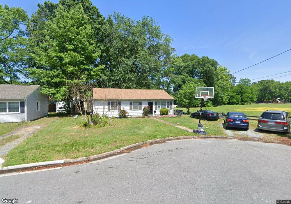
1913 Moger Dr Hampton, VA 23663
Buckroe Beach NeighborhoodEstimated Value: $188,000 - $216,000
3
Beds
1
Bath
912
Sq Ft
$227/Sq Ft
Est. Value
About This Home
This home is located at 1913 Moger Dr, Hampton, VA 23663 and is currently estimated at $206,831, approximately $226 per square foot. 1913 Moger Dr is a home located in Hampton City with nearby schools including Benjamin Syms Middle School, Kecoughtan High School, and Gloria Dei Lutheran School.
Ownership History
Date
Name
Owned For
Owner Type
Purchase Details
Closed on
Apr 27, 2018
Sold by
Holland William R
Bought by
Vazquez Ann E
Current Estimated Value
Home Financials for this Owner
Home Financials are based on the most recent Mortgage that was taken out on this home.
Original Mortgage
$77,800
Outstanding Balance
$67,050
Interest Rate
4.44%
Mortgage Type
New Conventional
Estimated Equity
$139,781
Purchase Details
Closed on
Mar 18, 2015
Sold by
Holland Rosemary
Bought by
Holland William R
Create a Home Valuation Report for This Property
The Home Valuation Report is an in-depth analysis detailing your home's value as well as a comparison with similar homes in the area
Home Values in the Area
Average Home Value in this Area
Purchase History
We collect this data history from publicly available records. To have your information removed, we recommend requesting removal directly through your county’s website.
| Date | Buyer | Sale Price | Title Company |
|---|---|---|---|
| Vazquez Ann E | $81,900 | Peninsula Title Co Inc | |
| Holland William R | -- | -- |
Source: Public Records
Mortgage History
We collect this data history from publicly available records. To have your information removed, we recommend requesting removal directly through your county’s website.
| Date | Status | Borrower | Loan Amount |
|---|---|---|---|
| Open | Vazquez Ann E | $77,800 |
Source: Public Records
Tax History
| Year | Tax Paid | Tax Assessment Tax Assessment Total Assessment is a certain percentage of the fair market value that is determined by local assessors to be the total taxable value of land and additions on the property. | Land | Improvement |
|---|---|---|---|---|
| 2025 | $2,148 | $174,900 | $55,000 | $119,900 |
| 2024 | $1,792 | $155,800 | $55,000 | $100,800 |
| 2023 | $1,611 | $138,900 | $55,000 | $83,900 |
| 2022 | $1,479 | $125,300 | $50,000 | $75,300 |
| 2021 | $1,463 | $107,500 | $42,000 | $65,500 |
| 2020 | $1,240 | $100,000 | $38,300 | $61,700 |
| 2019 | $1,208 | $97,400 | $38,300 | $59,100 |
| 2018 | $1,307 | $97,800 | $38,300 | $59,500 |
| 2017 | $1,307 | $0 | $0 | $0 |
| 2016 | $1,307 | $97,800 | $0 | $0 |
| 2015 | $1,307 | $0 | $0 | $0 |
| 2014 | $84 | $97,800 | $38,300 | $59,500 |
Source: Public Records
Map
Nearby Homes
- 1914 Moger Dr
- 1914 Andrews Blvd
- 1922 Beall Dr
- 1003 Grimes Rd
- 2010 Somerville Dr
- 2108 Andrews Blvd
- 2007 Egger Cir
- 11 Farrington Place
- 2001 Neville Cir
- 2025 Nickerson Blvd
- 51 Phelps Cir
- 32 George Ct
- 1904 Nickerson Blvd
- 57 Phelps Cir
- 1903 Demetro Dr
- 1530 Morgan Dr
- 1420 Seward Dr
- 21 Loch Cir
- 234 Loch Cir
- 1812 Nickerson Blvd
- 1912 Moger Dr
- 1917 Andrews Blvd
- 1915 Andrews Blvd
- 1910 Moger Dr
- 1913 Andrews Blvd
- 1911 Moger Dr
- 1908 Moger Dr
- 1909 Moger Dr
- 1911 Andrews Blvd
- 1907 Moger Dr
- 1906 Moger Dr
- 1909 Andrews Blvd
- 1906 Beall Dr
- 1908 Beall Dr
- 1918 Andrews Blvd
- 1905 Moger Dr
- 1916 Andrews Blvd
- 1920 Andrews Blvd
- 1904 Beall Dr
- 1910 Beall Dr
Your Personal Tour Guide
Ask me questions while you tour the home.