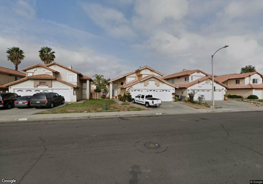
1916 Miramar St Perris, CA 92571
Central Perris NeighborhoodEstimated Value: $528,642 - $560,000
4
Beds
3
Baths
1,887
Sq Ft
$288/Sq Ft
Est. Value
About This Home
This home is located at 1916 Miramar St, Perris, CA 92571 and is currently estimated at $543,161, approximately $287 per square foot. 1916 Miramar St is a home located in Riverside County with nearby schools including Palms Elementary School, Pinacate Middle School, and Perris High School.
Ownership History
Date
Name
Owned For
Owner Type
Purchase Details
Closed on
May 20, 2023
Sold by
Alfaro Victor and Alfaro Ingrid
Bought by
Alfaro 2023 Revocable Trust
Current Estimated Value
Purchase Details
Closed on
Oct 24, 1996
Sold by
United States Of America
Bought by
Alfaro Victor and Alfaro Ingrid
Home Financials for this Owner
Home Financials are based on the most recent Mortgage that was taken out on this home.
Original Mortgage
$92,267
Interest Rate
7.76%
Mortgage Type
FHA
Create a Home Valuation Report for This Property
The Home Valuation Report is an in-depth analysis detailing your home's value as well as a comparison with similar homes in the area
Home Values in the Area
Average Home Value in this Area
Purchase History
| Date | Buyer | Sale Price | Title Company |
|---|---|---|---|
| Alfaro 2023 Revocable Trust | -- | None Listed On Document | |
| Alfaro Victor | $93,500 | Chicago Title Co |
Source: Public Records
Mortgage History
| Date | Status | Borrower | Loan Amount |
|---|---|---|---|
| Previous Owner | Alfaro Victor | $92,267 |
Source: Public Records
Tax History Compared to Growth
Tax History
| Year | Tax Paid | Tax Assessment Tax Assessment Total Assessment is a certain percentage of the fair market value that is determined by local assessors to be the total taxable value of land and additions on the property. | Land | Improvement |
|---|---|---|---|---|
| 2025 | $1,885 | $153,059 | $48,840 | $104,219 |
| 2023 | $1,885 | $147,118 | $46,945 | $100,173 |
| 2022 | $1,866 | $144,234 | $46,025 | $98,209 |
| 2021 | $1,833 | $141,407 | $45,123 | $96,284 |
| 2020 | $1,812 | $139,958 | $44,661 | $95,297 |
| 2019 | $1,774 | $137,215 | $43,786 | $93,429 |
| 2018 | $1,700 | $134,526 | $42,928 | $91,598 |
| 2017 | $2,030 | $131,889 | $42,087 | $89,802 |
| 2016 | $2,027 | $129,304 | $41,262 | $88,042 |
| 2015 | $2,017 | $127,364 | $40,644 | $86,720 |
| 2014 | $1,992 | $124,871 | $39,849 | $85,022 |
Source: Public Records
Map
Nearby Homes
- 1864 Havasu St
- 302 Daystar Dr
- 185 Peppertree Dr
- 1753 Jade Ave
- 136 Elmtree Dr
- 507 Coudures Way
- 2245 Liberty Ct
- 1676 Amethyst Dr
- 2138 Star Thistle Ln
- 1671 Ruby Dr
- 487 Lassa Way
- 1630 Glenview Dr
- 484 Harvest Rd
- 1562 Remembrance Dr
- 701 Citrus Ave
- 702 Clearwater Dr
- 1529 Arrow Creek Dr
- 575 Prairie Way
- 531 Wildwood Ln
- 2340 Firebrand Ave
- 1910 Miramar St
- 1924 Miramar St
- 1904 Miramar St
- 1936 Miramar St
- 1917 Hennesy St
- 1911 Hennesy St
- 1925 Hennesy St
- 1896 Miramar St
- 1905 Hennesy St
- 1937 Hennesy St
- 1923 Miramar St
- 1907 Miramar St
- 1897 Hennesy St
- 1949 Hennesy St
- 1935 Miramar St
- 1890 Miramar St
- 1952 Miramar St
- 1899 Miramar St
- 1943 Miramar St
- 1889 Hennesy St