1917 Hatch Rd Bay City, MI 48708
Estimated Value: $150,000 - $243,000
--
Bed
2
Baths
1,116
Sq Ft
$161/Sq Ft
Est. Value
About This Home
This home is located at 1917 Hatch Rd, Bay City, MI 48708 and is currently estimated at $179,548, approximately $160 per square foot. 1917 Hatch Rd is a home located in Bay County with nearby schools including Hampton Elementary School, Handy Middle School, and Bay City Central High School.
Ownership History
Date
Name
Owned For
Owner Type
Purchase Details
Closed on
Dec 11, 2020
Sold by
Pine Stephanie and Pine Jordan
Bought by
Pine Stephanie
Current Estimated Value
Purchase Details
Closed on
Jun 17, 2016
Sold by
Pine Stephanie
Bought by
Pine Stephanie and Pine Jordan
Purchase Details
Closed on
Jun 1, 2016
Sold by
Krzyminski Margaret E and Groulx Kim M
Bought by
Pine Stephanie
Purchase Details
Closed on
May 4, 2015
Sold by
Groulx Earline and Groulx Lawrence
Bought by
Groulx Earline and Krzyminski Margaret E
Purchase Details
Closed on
Jul 28, 2011
Sold by
Groulx Earline and Groulx Lawrence E
Bought by
Boswell David and Boswell Sue
Create a Home Valuation Report for This Property
The Home Valuation Report is an in-depth analysis detailing your home's value as well as a comparison with similar homes in the area
Home Values in the Area
Average Home Value in this Area
Purchase History
| Date | Buyer | Sale Price | Title Company |
|---|---|---|---|
| Pine Stephanie | -- | None Available | |
| Pine Stephanie | -- | None Available | |
| Pine Stephanie | -- | None Available | |
| Groulx Earline | -- | None Available | |
| Boswell David | $700 | None Available |
Source: Public Records
Tax History Compared to Growth
Tax History
| Year | Tax Paid | Tax Assessment Tax Assessment Total Assessment is a certain percentage of the fair market value that is determined by local assessors to be the total taxable value of land and additions on the property. | Land | Improvement |
|---|---|---|---|---|
| 2025 | $3,002 | $77,700 | $0 | $0 |
| 2024 | $1,551 | $71,300 | $0 | $0 |
| 2023 | $1,526 | $70,200 | $0 | $0 |
| 2022 | $2,297 | $63,500 | $0 | $0 |
| 2021 | $765 | $29,200 | $29,200 | $0 |
| 2020 | $745 | $26,000 | $26,000 | $0 |
| 2019 | $468 | $22,700 | $0 | $0 |
| 2018 | $2,524 | $72,600 | $14,800 | $57,800 |
| 2017 | $2,527 | $72,600 | $0 | $0 |
| 2016 | $1,920 | $57,500 | $0 | $57,500 |
| 2015 | -- | $55,400 | $0 | $55,400 |
| 2014 | -- | $54,000 | $0 | $54,000 |
Source: Public Records
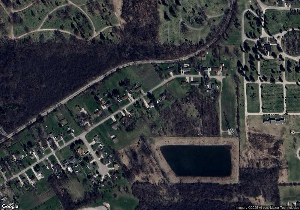
Map
Nearby Homes