Estimated Value: $234,677 - $241,000
2
Beds
1
Bath
1,206
Sq Ft
$197/Sq Ft
Est. Value
About This Home
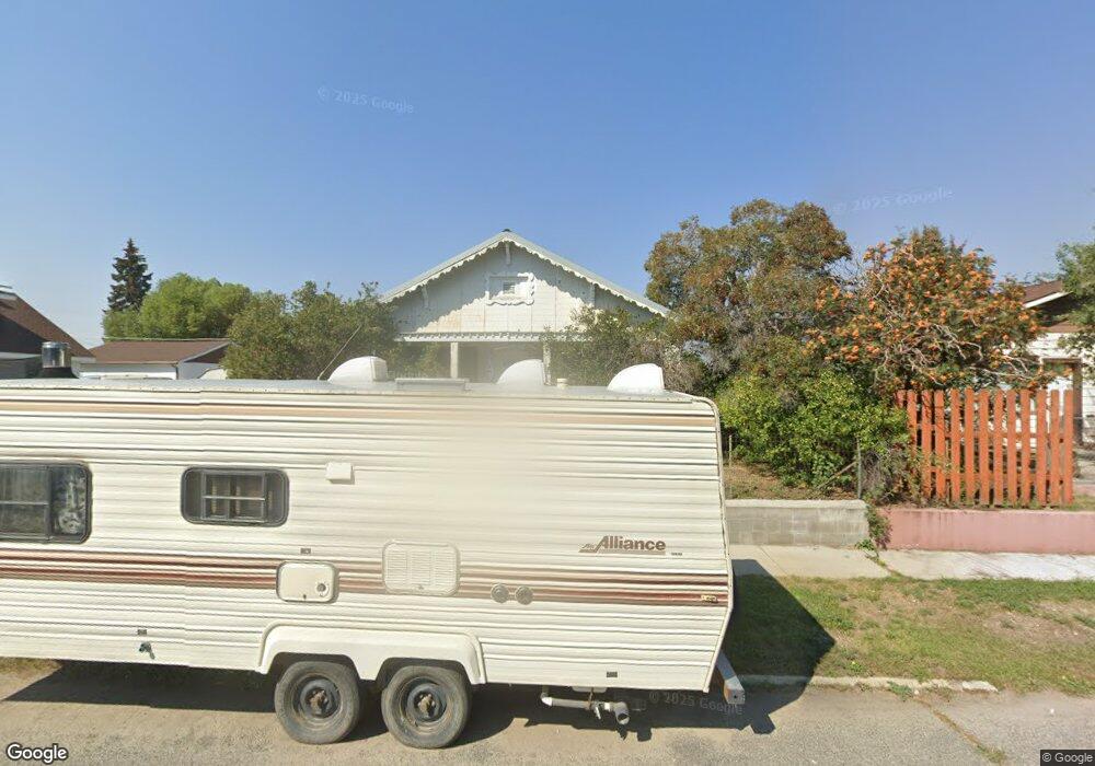
This home is located at 1917 Massachusetts Ave, Butte, MT 59701 and is currently estimated at $237,919, approximately $197 per square foot. 1917 Massachusetts Ave is a home located in Silver Bow County with nearby schools including Emerson School, East Middle School, and Butte High School.
Ownership History
Date
Name
Owned For
Owner Type
Purchase Details
Closed on
Nov 1, 2017
Sold by
Marchi Amy and Brugger Amy L
Bought by
Hackman Hannah
Current Estimated Value
Home Financials for this Owner
Home Financials are based on the most recent Mortgage that was taken out on this home.
Original Mortgage
$65,000
Interest Rate
3.2%
Mortgage Type
New Conventional
Purchase Details
Closed on
Aug 17, 2012
Sold by
Callaghan Butte Silver Bow Patrick M
Bought by
Bow Butte Silver
Purchase Details
Closed on
Sep 30, 2009
Sold by
Brugger Gloria Jean
Bought by
Brugger Amy L
Purchase Details
Closed on
Jun 16, 2008
Sold by
Voss Glenn E and Voss Kay S
Bought by
Brugger Gloria Jean
Create a Home Valuation Report for This Property
The Home Valuation Report is an in-depth analysis detailing your home's value as well as a comparison with similar homes in the area
Purchase History
| Date | Buyer | Sale Price | Title Company |
|---|---|---|---|
| Hackman Hannah | -- | None Available | |
| Bow Butte Silver | $1,713 | -- | |
| Brugger Amy L | -- | -- | |
| Brugger Gloria Jean | -- | -- |
Source: Public Records
Mortgage History
| Date | Status | Borrower | Loan Amount |
|---|---|---|---|
| Previous Owner | Hackman Hannah | $65,000 |
Source: Public Records
Tax History
| Year | Tax Paid | Tax Assessment Tax Assessment Total Assessment is a certain percentage of the fair market value that is determined by local assessors to be the total taxable value of land and additions on the property. | Land | Improvement |
|---|---|---|---|---|
| 2025 | $1,912 | $228,700 | $0 | $0 |
| 2024 | $2,316 | $202,000 | $0 | $0 |
| 2023 | $2,310 | $202,000 | $0 | $0 |
| 2022 | $2,125 | $142,800 | $0 | $0 |
| 2021 | $2,169 | $142,800 | $0 | $0 |
| 2020 | $2,148 | $135,600 | $0 | $0 |
| 2019 | $2,143 | $135,600 | $0 | $0 |
| 2018 | $1,873 | $115,900 | $0 | $0 |
| 2017 | $1,186 | $116,900 | $0 | $0 |
| 2016 | $1,777 | $119,500 | $0 | $0 |
| 2015 | $1,261 | $119,500 | $0 | $0 |
| 2014 | $1,761 | $65,296 | $0 | $0 |
Source: Public Records
Map
Nearby Homes
- 2000 Massachusetts Ave
- 1924 Carolina Ave
- 2007 Florida Ave
- 2210 Massachusetts Ave
- 2315 North Dr
- 1801 Reynolds Ave
- 1953 George St
- 2124 Roberts Ave
- 1801 Wilson Ave
- 1920 Aberdeen St
- 2209 Ottawa St
- 1875 Harrison Ave
- 1727 A St
- 2223 Princeton St
- 2530 Kossuth St
- 1806 C St
- 1801 Yale Ave
- 1810 Thornton Ave
- 1832 Phillips Ave
- 2422 Argyle St
- 1915 Massachusetts Ave
- 1947 Massachusetts Ave
- 1911 Massachusetts Ave
- 1940 Carolina Ave
- 1930 Carolina Ave
- 1951 Massachusetts Ave
- 1954 Carolina Ave
- 1909 Massachusetts Ave
- 1918 Massachusetts Ave
- 1916 Massachusetts Ave
- 1922 Massachusetts Ave
- 1960 Carolina Ave
- 1914 Massachusetts Ave
- 1928 Massachusetts Ave
- 1908 Carolina Ave
- 1901 Massachusetts Ave
- 1906 Massachusetts Ave
- 2001 Massachusetts Ave
- 1925 Carolina Ave
- 1917 Carolina Ave
Your Personal Tour Guide
Ask me questions while you tour the home.