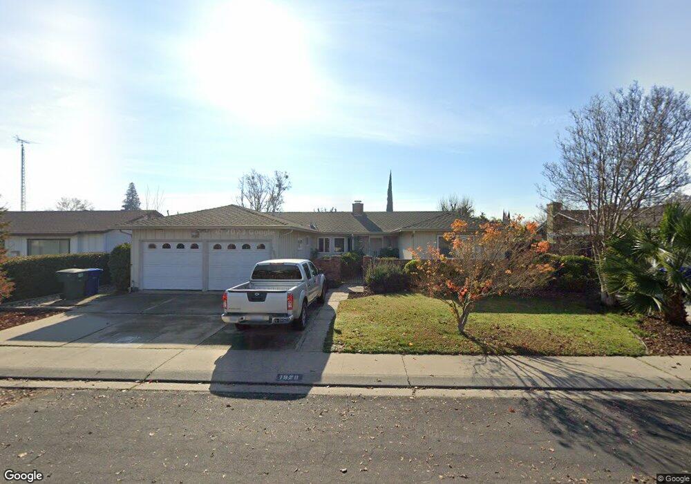
1920 Kendall Ave Modesto, CA 95355
Northeast Modesto NeighborhoodEstimated Value: $375,000 - $611,000
4
Beds
3
Baths
2,261
Sq Ft
$216/Sq Ft
Est. Value
About This Home
This home is located at 1920 Kendall Ave, Modesto, CA 95355 and is currently estimated at $488,888, approximately $216 per square foot. 1920 Kendall Ave is a home located in Stanislaus County with nearby schools including Rose Avenue Elementary School, La Loma Jr High, and Thomas Downey High School.
Ownership History
Date
Name
Owned For
Owner Type
Purchase Details
Closed on
Feb 6, 1998
Sold by
Markantonis George
Bought by
Horning Dwight L and Horning Aster A
Current Estimated Value
Home Financials for this Owner
Home Financials are based on the most recent Mortgage that was taken out on this home.
Original Mortgage
$122,350
Outstanding Balance
$21,178
Interest Rate
7.11%
Estimated Equity
$467,710
Create a Home Valuation Report for This Property
The Home Valuation Report is an in-depth analysis detailing your home's value as well as a comparison with similar homes in the area
Home Values in the Area
Average Home Value in this Area
Purchase History
| Date | Buyer | Sale Price | Title Company |
|---|---|---|---|
| Horning Dwight L | $136,000 | Fidelity National Title Co |
Source: Public Records
Mortgage History
| Date | Status | Borrower | Loan Amount |
|---|---|---|---|
| Open | Horning Dwight L | $122,350 |
Source: Public Records
Tax History Compared to Growth
Tax History
| Year | Tax Paid | Tax Assessment Tax Assessment Total Assessment is a certain percentage of the fair market value that is determined by local assessors to be the total taxable value of land and additions on the property. | Land | Improvement |
|---|---|---|---|---|
| 2025 | $2,457 | $217,143 | $55,879 | $161,264 |
| 2024 | $2,346 | $212,886 | $54,784 | $158,102 |
| 2023 | $2,310 | $208,712 | $53,710 | $155,002 |
| 2022 | $2,252 | $204,620 | $52,657 | $151,963 |
| 2021 | $2,117 | $200,609 | $51,625 | $148,984 |
| 2020 | $2,158 | $198,553 | $51,096 | $147,457 |
| 2019 | $2,106 | $194,661 | $50,095 | $144,566 |
| 2018 | $2,004 | $190,845 | $49,113 | $141,732 |
| 2017 | $1,954 | $187,103 | $48,150 | $138,953 |
| 2016 | $1,915 | $183,435 | $47,206 | $136,229 |
| 2015 | $1,888 | $180,680 | $46,497 | $134,183 |
| 2014 | $1,858 | $177,142 | $45,587 | $131,555 |
Source: Public Records
Map
Nearby Homes
- 1805 E Orangeburg Ave
- 1900 Ellison Dr
- 1312 Wylmawood Ln
- 1608 Kruger Dr
- 2005 Althoff Way
- 2307 Oakdale Rd Unit 32
- 1508 Celeste Dr
- 1500 Crestview Dr
- 2408 Beatrice Ln
- 2301 McRitchie Way
- 2317 Jeanine Dr
- 2513 Stoneridge Dr
- 2401 Walnut Grove Way
- 1609 Angelene Dr
- 2429 Woodvale Dr
- 1612 Angelene Dr
- 1216 Mist Flower Ct
- 2210 San Blas Ct
- 1128 Valencia Ct
- 1211 Sonoma Ave
- 1924 Kendall Ave
- 1916 Kendall Ave
- 1921 Rockford Ave
- 1925 Rockford Ave
- 1917 Rockford Ave
- 1513 Duportail Ave
- 1912 Kendall Ave
- 1921 Kendall Ave
- 1917 Kendall Ave
- 1925 Kendall Ave
- 1509 Duportail Ave
- 1913 Rockford Ave
- 1913 Kendall Ave
- 1929 Kendall Ave
- 1908 Kendall Ave
- 1920 Rockford Ave
- 1916 Rockford Ave
- 1924 Rockford Ave
- 1909 Kendall Ave
- 1933 Kendall Ave