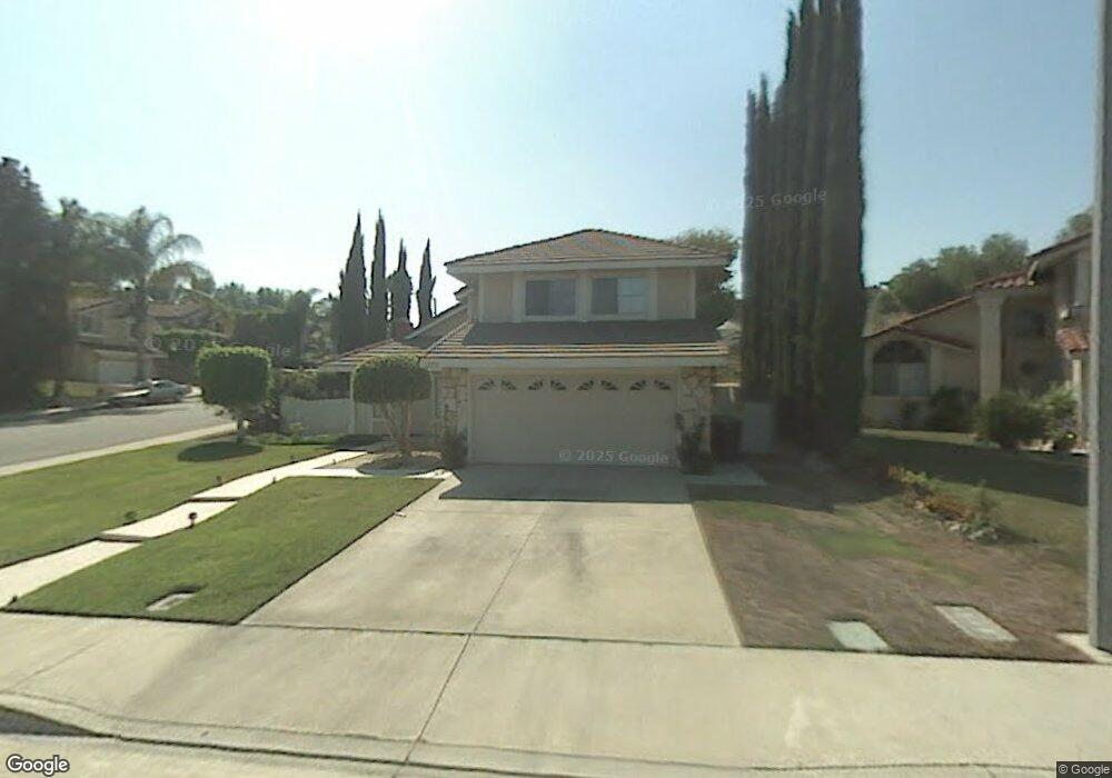
19211 Lindsay Cir Walnut, CA 91789
Estimated Value: $933,621 - $1,038,000
3
Beds
3
Baths
1,475
Sq Ft
$668/Sq Ft
Est. Value
About This Home
This home is located at 19211 Lindsay Cir, Walnut, CA 91789 and is currently estimated at $984,655, approximately $667 per square foot. 19211 Lindsay Cir is a home located in Los Angeles County with nearby schools including Stanley G. Oswalt Academy and Nogales High School.
Ownership History
Date
Name
Owned For
Owner Type
Purchase Details
Closed on
Jul 25, 2011
Sold by
Sun Lin C
Bought by
Sun Lin C
Current Estimated Value
Home Financials for this Owner
Home Financials are based on the most recent Mortgage that was taken out on this home.
Original Mortgage
$330,000
Outstanding Balance
$226,494
Interest Rate
4.46%
Mortgage Type
New Conventional
Estimated Equity
$758,161
Purchase Details
Closed on
May 3, 2007
Sold by
Wang Yi Min
Bought by
Sun Lin C
Purchase Details
Closed on
Apr 23, 1995
Sold by
Sun Kuo Chen and Sun Chao O
Bought by
Wang Yi Min and Sun Lin C
Create a Home Valuation Report for This Property
The Home Valuation Report is an in-depth analysis detailing your home's value as well as a comparison with similar homes in the area
Home Values in the Area
Average Home Value in this Area
Purchase History
| Date | Buyer | Sale Price | Title Company |
|---|---|---|---|
| Sun Lin C | -- | Orange Coast Title | |
| Sun Lin C | -- | Accommodation | |
| Wang Yi Min | -- | South Coast Title |
Source: Public Records
Mortgage History
| Date | Status | Borrower | Loan Amount |
|---|---|---|---|
| Open | Sun Lin C | $330,000 |
Source: Public Records
Tax History Compared to Growth
Tax History
| Year | Tax Paid | Tax Assessment Tax Assessment Total Assessment is a certain percentage of the fair market value that is determined by local assessors to be the total taxable value of land and additions on the property. | Land | Improvement |
|---|---|---|---|---|
| 2025 | $5,560 | $412,813 | $165,121 | $247,692 |
| 2024 | $5,560 | $404,720 | $161,884 | $242,836 |
| 2023 | $5,382 | $396,785 | $158,710 | $238,075 |
| 2022 | $5,270 | $389,006 | $155,599 | $233,407 |
| 2021 | $5,183 | $381,380 | $152,549 | $228,831 |
| 2019 | $5,035 | $370,070 | $148,025 | $222,045 |
| 2018 | $4,843 | $362,815 | $145,123 | $217,692 |
| 2016 | $4,668 | $348,729 | $139,489 | $209,240 |
| 2015 | $4,596 | $343,492 | $137,394 | $206,098 |
| 2014 | $4,591 | $336,764 | $134,703 | $202,061 |
Source: Public Records
Map
Nearby Homes
- 19110 Summit Ridge Dr
- 19440 Branding Iron Rd
- 860 Francesca Dr
- 18855 Sutter Creek Dr
- Plan C at Las Colinas
- Plan A at Las Colinas
- Plan D at Las Colinas
- Plan E at Las Colinas
- 653 Rocking Horse Rd
- 804 San Nicholas Dr
- 18820 Sutter Creek Dr
- 19019 Garnet Way
- 577 Chuck Wagon Cir
- 856 Francesca Dr
- 735 Francesca Dr Unit 202
- 3125 Frieda St
- 3418 Peggy Ct
- 19178 Bel Air Dr
- 19569 Vista Hermosa Dr
- 830 Francesca Dr
- 19233 Lindsay Cir
- 784 Colusa Dr
- 763 Colusa Dr
- 19255 Lindsay Cir
- 767 Colusa Dr
- 759 Colusa Dr
- 19222 Lindsay Cir
- 790 Colusa Dr
- 783 Colusa Dr
- 19244 Lindsay Cir
- 755 Colusa Dr
- 19266 Lindsay Cir
- 787 Colusa Dr
- 19140 Summit Ridge Dr
- 791 Colusa Dr
- 19130 Summit Ridge Dr
- 752 Colusa Dr
- 772 Marylie Ln
- 751 Colusa Dr
- 19120 Summit Ridge Dr