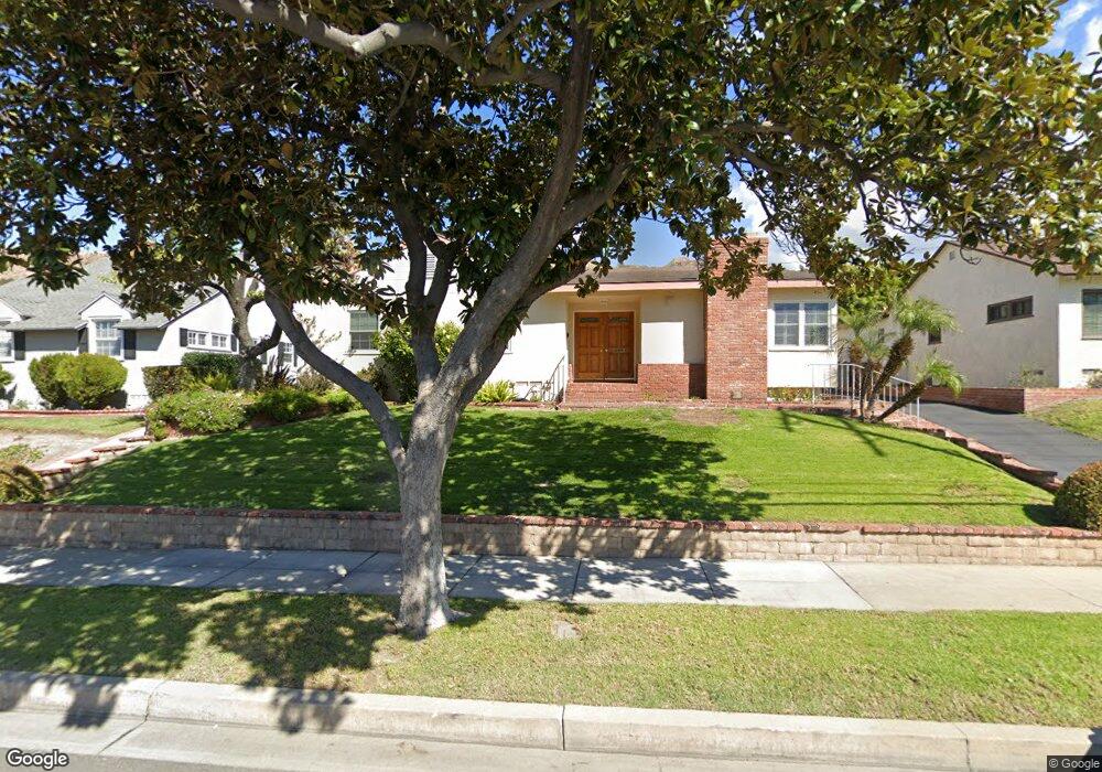
1924 N Kenneth Rd Unit 2 Burbank, CA 91504
Hillside District NeighborhoodEstimated Value: $1,433,000 - $1,986,000
3
Beds
2
Baths
2,288
Sq Ft
$718/Sq Ft
Est. Value
About This Home
This home is located at 1924 N Kenneth Rd Unit 2, Burbank, CA 91504 and is currently estimated at $1,642,284, approximately $717 per square foot. 1924 N Kenneth Rd Unit 2 is a home located in Los Angeles County with nearby schools including Thomas Jefferson Elementary School, John Muir Middle School, and Burbank High School.
Ownership History
Date
Name
Owned For
Owner Type
Purchase Details
Closed on
Sep 14, 2010
Sold by
Zook John G and Zook Christine E
Bought by
Zook John G and Zook Christine E
Current Estimated Value
Purchase Details
Closed on
Apr 26, 1994
Sold by
The Mennonite Foundation Inc
Bought by
Zook John G
Home Financials for this Owner
Home Financials are based on the most recent Mortgage that was taken out on this home.
Original Mortgage
$60,000
Interest Rate
8.1%
Mortgage Type
Seller Take Back
Purchase Details
Closed on
Dec 1, 1986
Sold by
Zook Alfred G and Zook Rosemary E
Bought by
Zook John G
Create a Home Valuation Report for This Property
The Home Valuation Report is an in-depth analysis detailing your home's value as well as a comparison with similar homes in the area
Home Values in the Area
Average Home Value in this Area
Purchase History
| Date | Buyer | Sale Price | Title Company |
|---|---|---|---|
| Zook John G | -- | None Available | |
| Zook John G | $150,000 | Chicago Title Insurance Co | |
| Zook John G | -- | -- |
Source: Public Records
Mortgage History
| Date | Status | Borrower | Loan Amount |
|---|---|---|---|
| Previous Owner | Zook John G | $60,000 |
Source: Public Records
Tax History Compared to Growth
Tax History
| Year | Tax Paid | Tax Assessment Tax Assessment Total Assessment is a certain percentage of the fair market value that is determined by local assessors to be the total taxable value of land and additions on the property. | Land | Improvement |
|---|---|---|---|---|
| 2025 | $4,756 | $418,165 | $146,348 | $271,817 |
| 2024 | $4,756 | $409,967 | $143,479 | $266,488 |
| 2023 | $4,706 | $401,929 | $140,666 | $261,263 |
| 2022 | $4,497 | $394,049 | $137,908 | $256,141 |
| 2021 | $4,468 | $386,323 | $135,204 | $251,119 |
| 2019 | $4,290 | $374,867 | $131,195 | $243,672 |
| 2018 | $4,168 | $367,518 | $128,623 | $238,895 |
| 2016 | $3,938 | $353,248 | $123,629 | $229,619 |
| 2015 | $3,859 | $347,942 | $121,772 | $226,170 |
| 2014 | $3,854 | $341,127 | $119,387 | $221,740 |
Source: Public Records
Map
Nearby Homes
- 906 Groton Dr
- 648 Uclan Dr
- 736 Irving Dr
- 854 Irving Dr
- 2615 Woodstock Ln
- 724 Price Dr
- 441 University Ave
- 1923 Grismer Ave
- 1814 Grismer Ave
- 1809 Peyton Ave Unit 313
- 2528 N Orchard Dr
- 1608 Grismer Ave
- 2000 Peyton Ave
- 710 E Walnut Ave
- 2014 Peyton Ave
- 3141 Jolley Dr
- 3032 Amigos Dr
- 1622 Keeler St
- 1702 Landis St
- 418 Delaware Rd
- 1918 N Kenneth Rd
- 1930 N Kenneth Rd
- 1925 Amber Ln
- 1912 N Kenneth Rd
- 1919 Amber Ln
- 1931 Amber Ln
- 1913 Amber Ln
- 1925 N Kenneth Rd
- 1919 N Kenneth Rd
- 1906 N Kenneth Rd
- 1931 N Kenneth Rd
- 2000 N Kenneth Rd
- 1913 N Kenneth Rd
- 2001 Amber Ln
- 1900 N Kenneth Rd
- 1907 N Kenneth Rd
- 2001 N Kenneth Rd
- 1901 Amber Ln
- 1924 Amber Ln
- 1918 Amber Ln