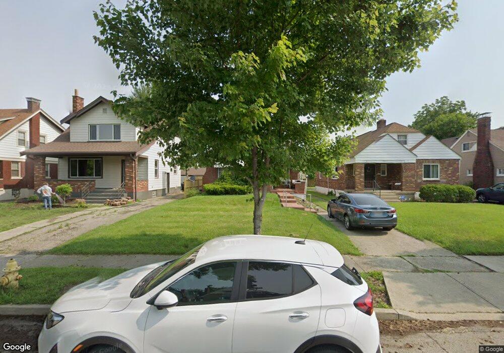
1926 Berkley Ave Cincinnati, OH 45237
Bond Hill NeighborhoodEstimated Value: $162,647 - $199,000
2
Beds
1
Bath
1,026
Sq Ft
$173/Sq Ft
Est. Value
About This Home
This home is located at 1926 Berkley Ave, Cincinnati, OH 45237 and is currently estimated at $177,912, approximately $173 per square foot. 1926 Berkley Ave is a home located in Hamilton County with nearby schools including Bond Hill Academy Elementary School, Clark Montessori High School, and Shroder High School.
Ownership History
Date
Name
Owned For
Owner Type
Purchase Details
Closed on
May 24, 1996
Sold by
Jones Clarence M
Bought by
Roberts Bernard
Current Estimated Value
Home Financials for this Owner
Home Financials are based on the most recent Mortgage that was taken out on this home.
Original Mortgage
$58,800
Outstanding Balance
$2,113
Interest Rate
7.99%
Estimated Equity
$175,799
Purchase Details
Closed on
Dec 9, 1994
Sold by
Swillinger Steven R
Bought by
Jones Clarence M
Create a Home Valuation Report for This Property
The Home Valuation Report is an in-depth analysis detailing your home's value as well as a comparison with similar homes in the area
Home Values in the Area
Average Home Value in this Area
Purchase History
| Date | Buyer | Sale Price | Title Company |
|---|---|---|---|
| Roberts Bernard | $64,700 | -- | |
| Jones Clarence M | -- | -- |
Source: Public Records
Mortgage History
| Date | Status | Borrower | Loan Amount |
|---|---|---|---|
| Open | Roberts Bernard | $58,800 |
Source: Public Records
Tax History
| Year | Tax Paid | Tax Assessment Tax Assessment Total Assessment is a certain percentage of the fair market value that is determined by local assessors to be the total taxable value of land and additions on the property. | Land | Improvement |
|---|---|---|---|---|
| 2025 | $2,087 | $33,723 | $5,390 | $28,333 |
| 2024 | $2,103 | $33,723 | $5,390 | $28,333 |
| 2023 | $2,095 | $33,723 | $5,390 | $28,333 |
| 2022 | $1,216 | $17,326 | $5,275 | $12,051 |
| 2021 | $1,169 | $17,326 | $5,275 | $12,051 |
| 2020 | $1,177 | $17,326 | $5,275 | $12,051 |
| 2019 | $1,203 | $16,191 | $4,928 | $11,263 |
| 2018 | $1,204 | $16,191 | $4,928 | $11,263 |
| 2017 | $1,169 | $16,191 | $4,928 | $11,263 |
| 2016 | $1,338 | $18,351 | $5,481 | $12,870 |
| 2015 | $1,209 | $18,351 | $5,481 | $12,870 |
| 2014 | $1,215 | $18,351 | $5,481 | $12,870 |
| 2013 | $1,384 | $20,619 | $6,160 | $14,459 |
Source: Public Records
Map
Nearby Homes
- 1958 Catalina Ave
- 1966 Avonlea Ave
- 5314 Section Ave
- 1832 Catalina Ave
- 5256 Warren Ave
- 1945 Lawn Ave
- 5203 Rolston Ave
- 1858 Garden Ln
- 5258 Hunter Ave
- 5119 Warren Ave
- 5234 Hunter Ave
- 5121 Rolston Ave
- 5229 Globe Ave
- 5310 Globe Ave
- 5336 Globe Ave
- 1740 Garden Ln
- 5405 Carthage Ave
- 2011 Dale Rd
- 5309 Carthage Ave
- 2106 Lawn Ave
- 1922 Berkley Ave
- 1930 Berkley Ave
- 1918 Berkley Ave
- 1934 Berkley Ave
- 1914 Berkley Ave
- 1938 Berkley Ave
- 1927 Avonlea Ave
- 1923 Avonlea Ave
- 1929 Avonlea Ave
- 1910 Berkley Ave
- 1942 Berkley Ave
- 1935 Avonlea Ave
- 1919 Avonlea Ave
- 1939 Avonlea Ave
- 1915 Avonlea Ave
- 1906 Berkley Ave
- 1927 Berkley Ave
- 1923 Berkley Ave
- 1931 Berkley Ave
- 1943 Avonlea Ave
Your Personal Tour Guide
Ask me questions while you tour the home.