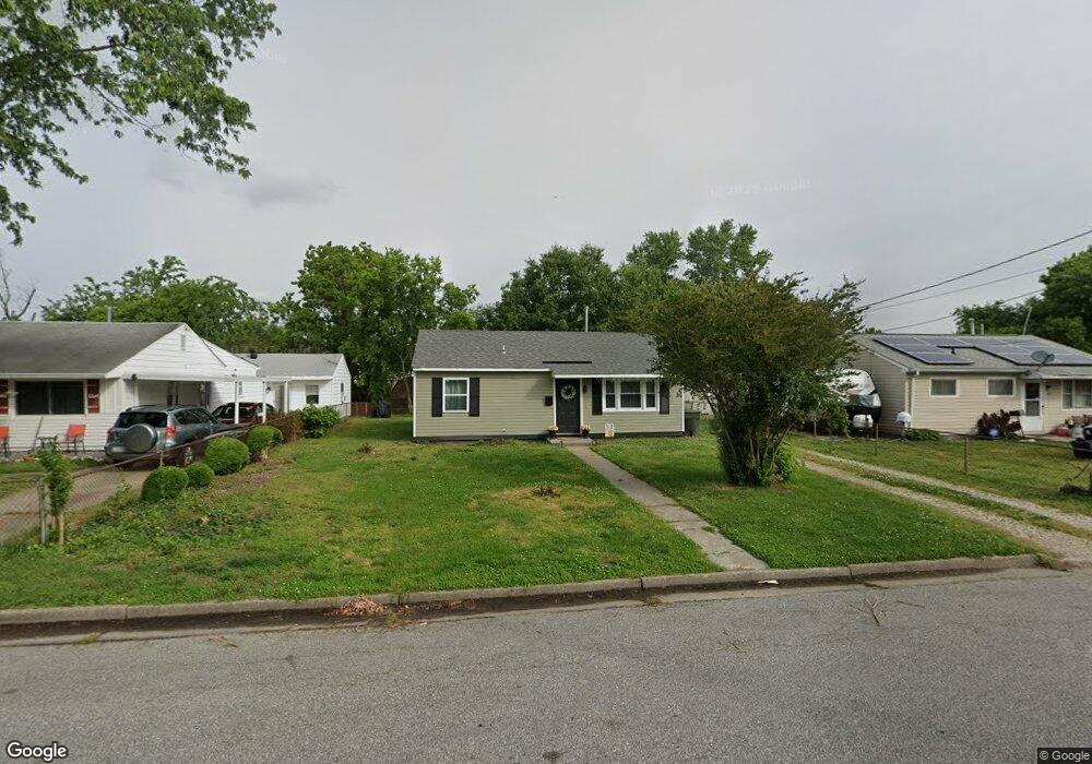
1929 Rawood Dr Hampton, VA 23663
Buckroe Beach NeighborhoodEstimated Value: $212,000 - $223,000
3
Beds
1
Bath
800
Sq Ft
$272/Sq Ft
Est. Value
About This Home
This home is located at 1929 Rawood Dr, Hampton, VA 23663 and is currently estimated at $217,730, approximately $272 per square foot. 1929 Rawood Dr is a home located in Hampton City with nearby schools including Benjamin Syms Middle School, Phoebus High School, and Gloria Dei Lutheran School.
Ownership History
Date
Name
Owned For
Owner Type
Purchase Details
Closed on
Feb 14, 2023
Sold by
Sdb Industries Inc
Bought by
Lopez Eleny Calderon and Hopkins Bobby
Current Estimated Value
Home Financials for this Owner
Home Financials are based on the most recent Mortgage that was taken out on this home.
Original Mortgage
$204,600
Outstanding Balance
$194,989
Interest Rate
4%
Mortgage Type
VA
Estimated Equity
$22,741
Purchase Details
Closed on
Oct 17, 2022
Sold by
Ford William L
Bought by
Sdb Industries Inc
Purchase Details
Closed on
May 14, 2004
Sold by
Parrish Henry
Bought by
Ford William
Home Financials for this Owner
Home Financials are based on the most recent Mortgage that was taken out on this home.
Original Mortgage
$54,500
Interest Rate
5.75%
Mortgage Type
New Conventional
Create a Home Valuation Report for This Property
The Home Valuation Report is an in-depth analysis detailing your home's value as well as a comparison with similar homes in the area
Home Values in the Area
Average Home Value in this Area
Purchase History
| Date | Buyer | Sale Price | Title Company |
|---|---|---|---|
| Lopez Eleny Calderon | $200,000 | Old Republic Title | |
| Sdb Industries Inc | $107,500 | Advance Title & Abstract | |
| Ford William | $54,500 | -- |
Source: Public Records
Mortgage History
| Date | Status | Borrower | Loan Amount |
|---|---|---|---|
| Open | Lopez Eleny Calderon | $204,600 | |
| Previous Owner | Ford William | $54,500 |
Source: Public Records
Tax History
| Year | Tax Paid | Tax Assessment Tax Assessment Total Assessment is a certain percentage of the fair market value that is determined by local assessors to be the total taxable value of land and additions on the property. | Land | Improvement |
|---|---|---|---|---|
| 2025 | $2,312 | $197,000 | $55,000 | $142,000 |
| 2024 | $2,083 | $181,100 | $55,000 | $126,100 |
| 2023 | $2,101 | $181,100 | $55,000 | $126,100 |
| 2022 | $1,318 | $111,700 | $50,000 | $61,700 |
| 2021 | $1,315 | $95,600 | $42,000 | $53,600 |
| 2020 | $1,105 | $89,100 | $38,300 | $50,800 |
| 2019 | $1,104 | $89,000 | $38,300 | $50,700 |
| 2018 | $1,194 | $88,700 | $38,300 | $50,400 |
| 2017 | $1,194 | $0 | $0 | $0 |
| 2016 | $1,194 | $88,700 | $0 | $0 |
| 2015 | $1,194 | $0 | $0 | $0 |
| 2014 | $1,260 | $88,700 | $38,300 | $50,400 |
Source: Public Records
Map
Nearby Homes
- 1923 Rawood Dr
- 1915 Long Green Ln
- 1938 Long Green Ln
- 1909 Long Green Ln
- 2004 Winfree Rd
- 1814 Somerville Dr
- 1841 Kensington Dr
- 1908 Hurst Dr
- 2007 Egger Cir
- 1904 Nickerson Blvd
- 1810 Beall Dr
- 1530 Morgan Dr
- 1527 Grove St
- 438 Shelton Rd
- 604 Old Buckroe Rd
- 1445 Oakcrest Dr
- 54 George Ct
- 1504 E Pembroke Ave
- 1515 Garrow Cir
- 21 Loch Cir
- 1927 Rawood Dr
- 1931 Rawood Dr
- 1924 Somerville Dr
- 1928 Somerville Dr
- 1933 Rawood Dr
- 1925 Rawood Dr
- 1930 Rawood Dr
- 1922 Somerville Dr
- 1930 Somerville Dr
- 1928 Rawood Dr
- 1934 Rawood Dr
- 1926 Rawood Dr
- 1920 Somerville Dr
- 1932 Somerville Dr
- 1936 Rawood Dr
- 1924 Rawood Dr
- 1937 Rawood Dr
- 1921 Rawood Dr
- 1933 Kensington Dr
- 1925 Somerville Dr
Your Personal Tour Guide
Ask me questions while you tour the home.