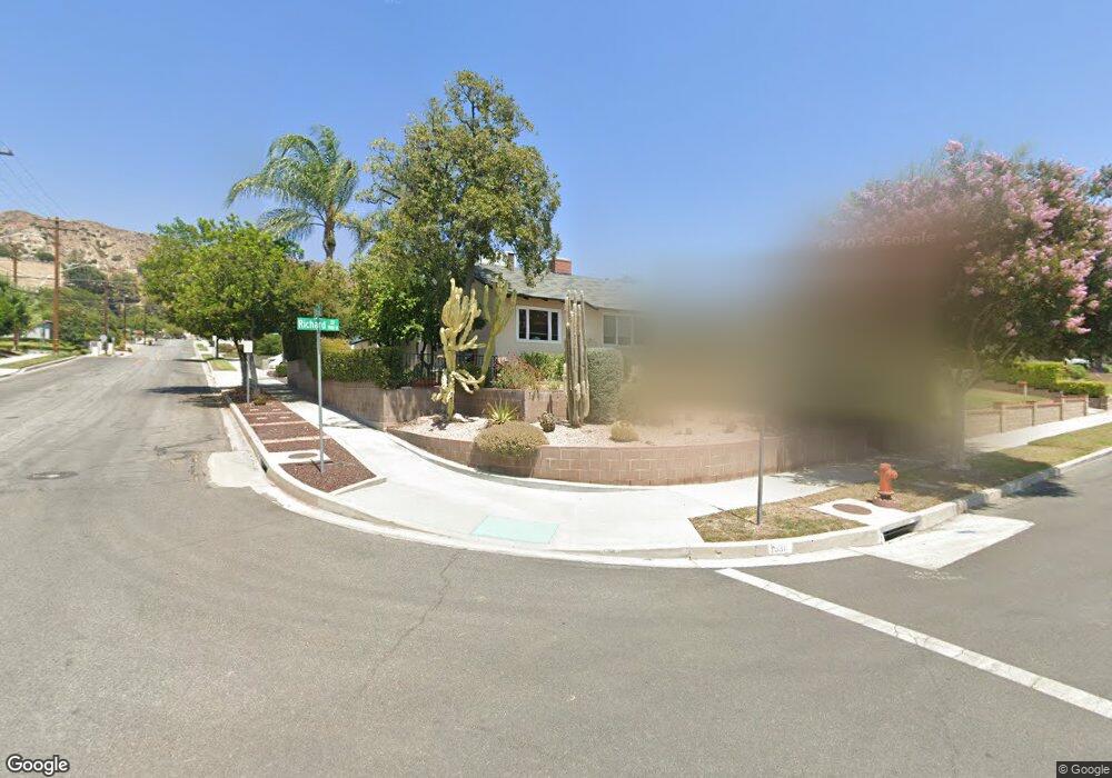
1936 Richard St Burbank, CA 91504
Hillside District NeighborhoodEstimated Value: $1,034,162 - $1,443,000
3
Beds
1
Bath
1,274
Sq Ft
$975/Sq Ft
Est. Value
About This Home
This home is located at 1936 Richard St, Burbank, CA 91504 and is currently estimated at $1,241,791, approximately $974 per square foot. 1936 Richard St is a home located in Los Angeles County with nearby schools including Thomas Jefferson Elementary School, John Muir Middle School, and Burbank High School.
Ownership History
Date
Name
Owned For
Owner Type
Purchase Details
Closed on
Apr 9, 2017
Sold by
Rosete Constance C
Bought by
Rosete David A and Rosete Constance C
Current Estimated Value
Purchase Details
Closed on
Jun 25, 2013
Sold by
Pease Thomas T and Zona J Pease Trust
Bought by
Rosete Constance C
Purchase Details
Closed on
Sep 13, 2006
Sold by
Pease Zona J
Bought by
Pease Zona J and The Zona J Pease Trust
Create a Home Valuation Report for This Property
The Home Valuation Report is an in-depth analysis detailing your home's value as well as a comparison with similar homes in the area
Home Values in the Area
Average Home Value in this Area
Purchase History
| Date | Buyer | Sale Price | Title Company |
|---|---|---|---|
| Rosete David A | -- | None Available | |
| Rosete Constance C | -- | None Available | |
| Pease Zona J | -- | None Available |
Source: Public Records
Tax History Compared to Growth
Tax History
| Year | Tax Paid | Tax Assessment Tax Assessment Total Assessment is a certain percentage of the fair market value that is determined by local assessors to be the total taxable value of land and additions on the property. | Land | Improvement |
|---|---|---|---|---|
| 2025 | $1,098 | $89,167 | $42,376 | $46,791 |
| 2024 | $1,098 | $87,420 | $41,546 | $45,874 |
| 2023 | $1,087 | $85,707 | $40,732 | $44,975 |
| 2022 | $1,040 | $84,028 | $39,934 | $44,094 |
| 2021 | $1,026 | $82,381 | $39,151 | $43,230 |
| 2019 | $987 | $79,940 | $37,991 | $41,949 |
| 2018 | $921 | $78,374 | $37,247 | $41,127 |
| 2016 | $858 | $75,332 | $35,801 | $39,531 |
| 2015 | $841 | $74,202 | $35,264 | $38,938 |
| 2014 | $848 | $72,750 | $34,574 | $38,176 |
Source: Public Records
Map
Nearby Homes
- 906 Groton Dr
- 648 Uclan Dr
- 736 Irving Dr
- 854 Irving Dr
- 2615 Woodstock Ln
- 724 Price Dr
- 441 University Ave
- 1923 Grismer Ave
- 1814 Grismer Ave
- 1809 Peyton Ave Unit 313
- 1608 Grismer Ave
- 2528 N Orchard Dr
- 2000 Peyton Ave
- 2014 Peyton Ave
- 1622 Keeler St
- 1702 Landis St
- 710 E Walnut Ave
- 3141 Jolley Dr
- 418 Delaware Rd
- 3032 Amigos Dr
- 1930 Richard St
- 1924 Richard St
- 1931 N Kenneth Rd
- 2000 Richard St
- 1925 N Kenneth Rd
- 2001 N Kenneth Rd
- 1919 N Kenneth Rd
- 1918 Richard St
- 1931 Richard St
- 2006 Richard St
- 1925 Richard St
- 2001 Richard St
- 2007 N Kenneth Rd
- 1913 N Kenneth Rd
- 1919 Richard St
- 1912 Richard St
- 2012 Richard St
- 2007 Richard St
- 1913 Richard St
- 2013 N Kenneth Rd