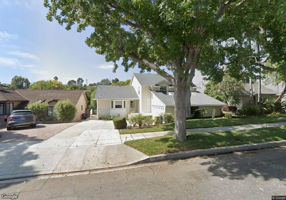
1937 S Durango Ave Los Angeles, CA 90034
Beverlywood NeighborhoodEstimated Value: $2,073,000 - $2,617,000
3
Beds
2
Baths
2,324
Sq Ft
$1,016/Sq Ft
Est. Value
About This Home
This home is located at 1937 S Durango Ave, Los Angeles, CA 90034 and is currently estimated at $2,360,936, approximately $1,015 per square foot. 1937 S Durango Ave is a home located in Los Angeles County with nearby schools including Castle Heights Elementary, Palms Middle School, and Alexander Hamilton Senior High School.
Ownership History
Date
Name
Owned For
Owner Type
Purchase Details
Closed on
Nov 19, 2002
Sold by
Mone Thomas D and Gerace Gloria G
Bought by
Kabot Jeffrey
Current Estimated Value
Home Financials for this Owner
Home Financials are based on the most recent Mortgage that was taken out on this home.
Original Mortgage
$36,250
Outstanding Balance
$15,053
Interest Rate
6.03%
Mortgage Type
Credit Line Revolving
Estimated Equity
$2,345,883
Create a Home Valuation Report for This Property
The Home Valuation Report is an in-depth analysis detailing your home's value as well as a comparison with similar homes in the area
Home Values in the Area
Average Home Value in this Area
Purchase History
| Date | Buyer | Sale Price | Title Company |
|---|---|---|---|
| Kabot Jeffrey | $725,000 | Equity |
Source: Public Records
Mortgage History
| Date | Status | Borrower | Loan Amount |
|---|---|---|---|
| Open | Kabot Jeffrey | $36,250 |
Source: Public Records
Tax History Compared to Growth
Tax History
| Year | Tax Paid | Tax Assessment Tax Assessment Total Assessment is a certain percentage of the fair market value that is determined by local assessors to be the total taxable value of land and additions on the property. | Land | Improvement |
|---|---|---|---|---|
| 2025 | $12,675 | $1,050,022 | $795,561 | $254,461 |
| 2024 | $12,675 | $1,029,434 | $779,962 | $249,472 |
| 2023 | $12,434 | $1,009,250 | $764,669 | $244,581 |
| 2022 | $11,862 | $989,462 | $749,676 | $239,786 |
| 2021 | $11,709 | $970,062 | $734,977 | $235,085 |
| 2019 | $11,359 | $941,291 | $713,178 | $228,113 |
| 2018 | $11,251 | $922,836 | $699,195 | $223,641 |
| 2016 | $10,751 | $887,003 | $672,046 | $214,957 |
| 2015 | $10,593 | $873,681 | $661,952 | $211,729 |
| 2014 | $10,629 | $856,568 | $648,986 | $207,582 |
Source: Public Records
Map
Nearby Homes
- 9313 Bolton Rd
- 9142 Monte Mar Dr
- 9125 David Ave
- 1904 Preuss Rd
- 2011 S Shenandoah St
- 2411 S Canfield Ave
- 8953 W 24th St
- 2502 S Robertson Blvd
- 1630 S Crest Dr
- 9503 Beverlywood St
- 8767 Airdrome St
- 1942 S Sherbourne Dr
- 1625 Rexford Dr
- 1810 S Sherbourne Dr
- 1543 S Crest Dr
- 8809 David Ave
- 8860 Horner St
- 1601 S Beverly Dr
- 2628 Reynier Ave
- 1726 S Sherbourne Dr
- 1941 S Durango Ave
- 1933 S Durango Ave
- 2112 Hillsboro Ave
- 1945 S Durango Ave
- 2106 Hillsboro Ave
- 1929 S Durango Ave
- 2118 Hillsboro Ave
- 1932 S Durango Ave
- 2100 Hillsboro Ave
- 2124 Hillsboro Ave
- 1936 S Durango Ave
- 1949 S Durango Ave
- 1928 S Durango Ave
- 1925 S Durango Ave
- 2042 Hillsboro Ave
- 2130 Hillsboro Ave
- 1924 S Durango Ave
- 1953 S Durango Ave
- 2036 Hillsboro Ave
- 1921 S Durango Ave