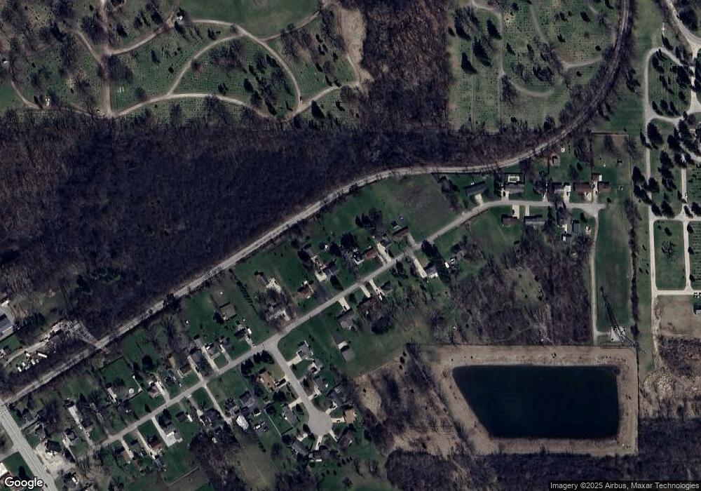
1940 Hatch Rd Bay City, MI 48708
Estimated Value: $102,000 - $185,000
3
Beds
1
Bath
1,210
Sq Ft
$107/Sq Ft
Est. Value
About This Home
This home is located at 1940 Hatch Rd, Bay City, MI 48708 and is currently estimated at $129,448, approximately $106 per square foot. 1940 Hatch Rd is a home located in Bay County with nearby schools including Hampton Elementary School, Handy Middle School, and Bay City Central High School.
Ownership History
Date
Name
Owned For
Owner Type
Purchase Details
Closed on
Mar 21, 2023
Sold by
Alliance Real Estate Group Llc
Bought by
Thompson Lynn M
Current Estimated Value
Home Financials for this Owner
Home Financials are based on the most recent Mortgage that was taken out on this home.
Original Mortgage
$52,500
Outstanding Balance
$46,348
Interest Rate
5.25%
Mortgage Type
Balloon
Estimated Equity
$83,100
Purchase Details
Closed on
Apr 21, 2010
Sold by
Kondziola James
Bought by
Alliance Real Estate Group Llc
Create a Home Valuation Report for This Property
The Home Valuation Report is an in-depth analysis detailing your home's value as well as a comparison with similar homes in the area
Home Values in the Area
Average Home Value in this Area
Purchase History
| Date | Buyer | Sale Price | Title Company |
|---|---|---|---|
| Thompson Lynn M | $55,121 | Michigan Trusted Title | |
| Alliance Real Estate Group Llc | $44,000 | None Available |
Source: Public Records
Mortgage History
| Date | Status | Borrower | Loan Amount |
|---|---|---|---|
| Open | Thompson Lynn M | $52,500 |
Source: Public Records
Tax History Compared to Growth
Tax History
| Year | Tax Paid | Tax Assessment Tax Assessment Total Assessment is a certain percentage of the fair market value that is determined by local assessors to be the total taxable value of land and additions on the property. | Land | Improvement |
|---|---|---|---|---|
| 2025 | $1,780 | $55,500 | $0 | $0 |
| 2024 | $852 | $51,400 | $0 | $0 |
| 2023 | $811 | $50,200 | $0 | $0 |
| 2022 | $1,349 | $42,900 | $0 | $0 |
| 2021 | $1,261 | $40,900 | $40,900 | $0 |
| 2020 | $1,218 | $39,400 | $39,400 | $0 |
| 2019 | $1,154 | $33,300 | $0 | $0 |
| 2018 | $1,131 | $40,000 | $7,900 | $32,100 |
| 2017 | $1,109 | $40,000 | $0 | $0 |
| 2016 | $1,088 | $33,400 | $0 | $33,400 |
| 2015 | -- | $31,600 | $0 | $31,600 |
| 2014 | -- | $30,900 | $0 | $30,900 |
Source: Public Records
Map
Nearby Homes