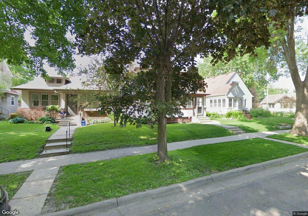
1945 Stanford Ave Saint Paul, MN 55105
Macalester-Groveland NeighborhoodEstimated Value: $603,279 - $650,000
4
Beds
2
Baths
2,730
Sq Ft
$227/Sq Ft
Est. Value
About This Home
This home is located at 1945 Stanford Ave, Saint Paul, MN 55105 and is currently estimated at $619,570, approximately $226 per square foot. 1945 Stanford Ave is a home located in Ramsey County with nearby schools including Groveland Park Elementary School, Hidden River Middle School, and Central Senior High School.
Ownership History
Date
Name
Owned For
Owner Type
Purchase Details
Closed on
Jan 15, 2021
Sold by
Peterson Timothy C and Peterson Dianna L
Bought by
Rau Kristen E
Current Estimated Value
Home Financials for this Owner
Home Financials are based on the most recent Mortgage that was taken out on this home.
Original Mortgage
$404,000
Outstanding Balance
$360,190
Interest Rate
2.65%
Mortgage Type
New Conventional
Estimated Equity
$259,380
Purchase Details
Closed on
Nov 24, 1997
Sold by
Berry David E and Berry Elizabeth A
Bought by
Dunivan Larry M
Create a Home Valuation Report for This Property
The Home Valuation Report is an in-depth analysis detailing your home's value as well as a comparison with similar homes in the area
Home Values in the Area
Average Home Value in this Area
Purchase History
| Date | Buyer | Sale Price | Title Company |
|---|---|---|---|
| Rau Kristen E | $505,000 | Burnet Title | |
| Dunivan Larry M | $144,500 | -- | |
| Rau Kristen Kristen | $505,000 | -- |
Source: Public Records
Mortgage History
| Date | Status | Borrower | Loan Amount |
|---|---|---|---|
| Open | Rau Kristen E | $404,000 | |
| Closed | Rau Kristen Kristen | $505,000 |
Source: Public Records
Tax History Compared to Growth
Tax History
| Year | Tax Paid | Tax Assessment Tax Assessment Total Assessment is a certain percentage of the fair market value that is determined by local assessors to be the total taxable value of land and additions on the property. | Land | Improvement |
|---|---|---|---|---|
| 2025 | $8,226 | $580,400 | $128,500 | $451,900 |
| 2023 | $8,226 | $528,900 | $128,500 | $400,400 |
| 2022 | $6,914 | $503,800 | $128,500 | $375,300 |
| 2021 | $6,360 | $427,300 | $128,500 | $298,800 |
| 2020 | $6,722 | $405,200 | $128,500 | $276,700 |
| 2019 | $6,530 | $398,200 | $128,500 | $269,700 |
| 2018 | $6,054 | $385,800 | $128,500 | $257,300 |
| 2017 | $5,286 | $369,300 | $128,500 | $240,800 |
| 2016 | $5,422 | $0 | $0 | $0 |
| 2015 | $5,272 | $322,200 | $115,700 | $206,500 |
| 2014 | $4,814 | $0 | $0 | $0 |
Source: Public Records
Map
Nearby Homes
- 281 Cleveland Ave S
- 188 Cleveland Ave S
- 2129 Stanford Ave
- 1818 Juliet Ave
- 2133 Berkeley Ave
- 1926 Lincoln Ave
- 1797 James Ave
- 2009 Grand Ave
- 2047 Grand Ave
- 265 Mount Curve Blvd
- 2114 Randolph Ave
- 2056 Summit Ave
- 191 Vernon St
- 1917 Summit Ave Unit 2
- 313 Stonebridge Blvd
- 317 Stonebridge Blvd
- 2250 Princeton Ave
- 1688 James Ave
- 2248 Goodrich Ave
- 475 Mount Curve Blvd
- 1941 Stanford Ave
- 1951 Stanford Ave
- 1953 Stanford Ave
- 1957 Stanford Ave
- 1937 Stanford Ave
- 1946 Berkeley Ave
- 1942 Berkeley Ave
- 1950 Berkeley Ave
- 1963 Stanford Ave
- 1954 Berkeley Ave
- 1946 Stanford Ave
- 1933 Stanford Ave
- 1950 Stanford Ave
- 1942 Stanford Ave
- 1956 Berkeley Ave
- 1965 Stanford Ave
- 1954 Stanford Ave
- 1936 Berkeley Ave
- 1956 Stanford Ave
- 1929 Stanford Ave