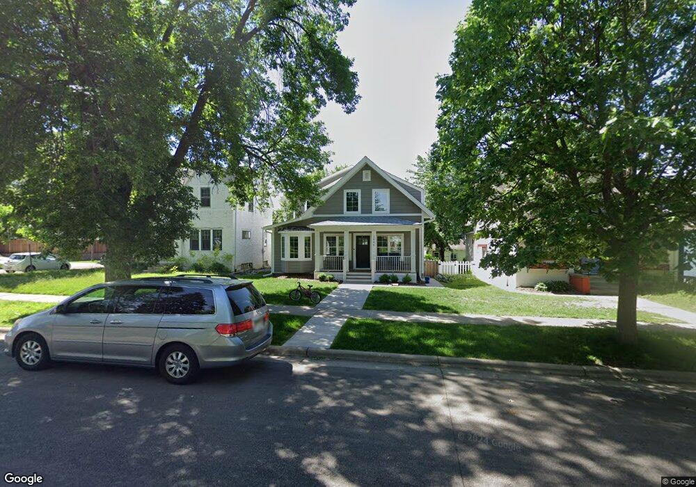
1946 Wellesley Ave Saint Paul, MN 55105
Macalester-Groveland NeighborhoodEstimated Value: $435,000 - $1,008,000
3
Beds
1
Bath
3,013
Sq Ft
$280/Sq Ft
Est. Value
About This Home
This home is located at 1946 Wellesley Ave, Saint Paul, MN 55105 and is currently estimated at $842,621, approximately $279 per square foot. 1946 Wellesley Ave is a home located in Ramsey County with nearby schools including Groveland Park Elementary School, Hidden River Middle School, and Central Senior High School.
Ownership History
Date
Name
Owned For
Owner Type
Purchase Details
Closed on
Jun 26, 2014
Sold by
Timmins Paul Paul
Bought by
Nelson Dorian Dorian
Current Estimated Value
Home Financials for this Owner
Home Financials are based on the most recent Mortgage that was taken out on this home.
Original Mortgage
$255,000
Outstanding Balance
$194,088
Interest Rate
4.14%
Estimated Equity
$648,533
Purchase Details
Closed on
Sep 28, 2000
Sold by
Byrd Kimberly L and Byrd Michael C
Bought by
Timmins Paul R and Timmins Susan E
Purchase Details
Closed on
Sep 5, 1997
Sold by
Smith Tracy M
Bought by
Byrd Michael C and Byrd Kimberly L
Purchase Details
Closed on
Nov 1, 1996
Sold by
Sullivan Thomas G and Sullivan Lucy A
Bought by
Smith Tracy M
Create a Home Valuation Report for This Property
The Home Valuation Report is an in-depth analysis detailing your home's value as well as a comparison with similar homes in the area
Home Values in the Area
Average Home Value in this Area
Purchase History
| Date | Buyer | Sale Price | Title Company |
|---|---|---|---|
| Nelson Dorian Dorian | $255,000 | -- | |
| Timmins Paul R | $190,000 | -- | |
| Byrd Michael C | $134,000 | -- | |
| Smith Tracy M | $133,000 | -- |
Source: Public Records
Mortgage History
| Date | Status | Borrower | Loan Amount |
|---|---|---|---|
| Open | Nelson Dorian Dorian | $255,000 |
Source: Public Records
Tax History Compared to Growth
Tax History
| Year | Tax Paid | Tax Assessment Tax Assessment Total Assessment is a certain percentage of the fair market value that is determined by local assessors to be the total taxable value of land and additions on the property. | Land | Improvement |
|---|---|---|---|---|
| 2025 | $13,392 | $929,900 | $126,000 | $803,900 |
| 2023 | $13,392 | $809,400 | $126,000 | $683,400 |
| 2022 | $12,656 | $774,000 | $126,000 | $648,000 |
| 2021 | $4,944 | $735,000 | $126,000 | $609,000 |
| 2020 | $5,136 | $322,700 | $126,000 | $196,700 |
| 2019 | $5,160 | $312,600 | $126,000 | $186,600 |
| 2018 | $4,500 | $310,200 | $126,000 | $184,200 |
| 2017 | $3,976 | $281,400 | $126,000 | $155,400 |
| 2016 | $4,104 | $0 | $0 | $0 |
| 2015 | $4,134 | $258,800 | $113,400 | $145,400 |
| 2014 | $3,692 | $0 | $0 | $0 |
Source: Public Records
Map
Nearby Homes
- 281 Cleveland Ave S
- 1818 Juliet Ave
- 2129 Stanford Ave
- 2133 Berkeley Ave
- 1797 James Ave
- 188 Cleveland Ave S
- 2114 Randolph Ave
- 1926 Lincoln Ave
- 475 Mount Curve Blvd
- 590 Fairview Ave S
- 1688 James Ave
- 313 Stonebridge Blvd
- 317 Stonebridge Blvd
- 2009 Grand Ave
- 191 Vernon St
- 2047 Grand Ave
- 2250 Princeton Ave
- 2056 Summit Ave
- 1615 Stanford Ave
- 677 Wilder St S
- 1940 Wellesley Ave
- 1950 Wellesley Ave
- 1952 Wellesley Ave
- 1958 Wellesley Ave
- 1945 Jefferson Ave
- 1949 Jefferson Ave
- 1962 Wellesley Ave
- 1953 Jefferson Ave
- 1936 Wellesley Ave
- 1957 Jefferson Ave
- 1949 Wellesley Ave
- 1941 Wellesley Ave
- 1955 Wellesley Ave
- 1964 Wellesley Ave
- 1937 Jefferson Ave
- 1961 Jefferson Ave
- 1959 Wellesley Ave
- 1930 Wellesley Ave
- 1968 Wellesley Ave
- 1963 Wellesley Ave