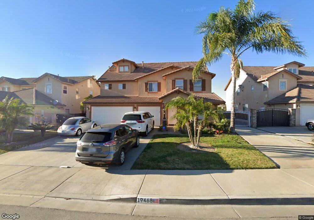
19468 De Marco Rd Riverside, CA 92508
Mission Grove NeighborhoodEstimated Value: $819,738 - $883,000
5
Beds
3
Baths
3,257
Sq Ft
$261/Sq Ft
Est. Value
About This Home
This home is located at 19468 De Marco Rd, Riverside, CA 92508 and is currently estimated at $849,685, approximately $260 per square foot. 19468 De Marco Rd is a home located in Riverside County with nearby schools including Benjamin Franklin Elementary School, Amelia Earhart Middle School, and Martin Luther King Junior High School.
Ownership History
Date
Name
Owned For
Owner Type
Purchase Details
Closed on
Apr 23, 2021
Sold by
Tueros Carlos A and Tueros Ivet M
Bought by
Tueros Maciel June T and Maciel Israel
Current Estimated Value
Purchase Details
Closed on
Aug 2, 2001
Sold by
Shea Homes Ltd Partnership
Bought by
Tueros Carlos and Tueros Ivet
Home Financials for this Owner
Home Financials are based on the most recent Mortgage that was taken out on this home.
Original Mortgage
$265,000
Interest Rate
7.19%
Create a Home Valuation Report for This Property
The Home Valuation Report is an in-depth analysis detailing your home's value as well as a comparison with similar homes in the area
Home Values in the Area
Average Home Value in this Area
Purchase History
| Date | Buyer | Sale Price | Title Company |
|---|---|---|---|
| Tueros Maciel June T | -- | None Available | |
| Tueros Carlos | $279,000 | First American Title Co |
Source: Public Records
Mortgage History
| Date | Status | Borrower | Loan Amount |
|---|---|---|---|
| Previous Owner | Tueros Carlos | $265,000 |
Source: Public Records
Tax History Compared to Growth
Tax History
| Year | Tax Paid | Tax Assessment Tax Assessment Total Assessment is a certain percentage of the fair market value that is determined by local assessors to be the total taxable value of land and additions on the property. | Land | Improvement |
|---|---|---|---|---|
| 2025 | $5,181 | $434,295 | $88,620 | $345,675 |
| 2023 | $5,181 | $417,435 | $85,180 | $332,255 |
| 2022 | $8,432 | $708,900 | $102,000 | $606,900 |
| 2021 | $5,107 | $401,227 | $81,874 | $319,353 |
| 2020 | $5,079 | $397,114 | $81,035 | $316,079 |
| 2019 | $4,994 | $389,329 | $79,447 | $309,882 |
| 2018 | $4,913 | $381,696 | $77,891 | $303,805 |
| 2017 | $4,841 | $374,213 | $76,364 | $297,849 |
| 2016 | $4,567 | $366,876 | $74,867 | $292,009 |
| 2015 | $4,510 | $361,368 | $73,744 | $287,624 |
| 2014 | $4,473 | $354,291 | $72,300 | $281,991 |
Source: Public Records
Map
Nearby Homes
- 19452 Fortunello Ave
- 19566 Denair Ct
- 19435 Fortunello Ave
- 8004 Palm View Ln
- 14787 Wood Rd
- 19579 Perth Ln
- 19618 Jill Ct
- 19121 Broken Bow Dr
- 1137 Pamplona Dr
- 19829 Adirondack Ln
- 952 Camino Del Sol
- 1195 Pamplona Dr
- 18590 Roberts Rd
- 19972 Windwood Cir
- 8782 Flatiron Ct
- 8682 Barnwood Ln
- 7320 Barnstable Place
- 200 E Alessandro Blvd Unit 79
- 200 E Alessandro Blvd Unit 34
- 200 E Alessandro Blvd Unit 72
- 19458 De Marco Rd
- 19482 De Marco Rd
- 19446 De Marco Rd
- 19496 De Marco Rd
- 19465 De Marco Rd
- 19453 De Marco Rd
- 19436 De Marco Rd
- 19441 De Marco Rd
- 19479 De Marco Rd
- 19495 De Marco Rd
- 19424 De Marco Rd
- 8039 Ralston Place
- 19423 De Marco Rd
- 8131 Northpark Dr
- 8123 Northpark Dr
- 8031 Ralston Place
- 19414 De Marco Rd
- 8115 Northpark Dr
- 8139 Northpark Dr
- 8107 Northpark Dr