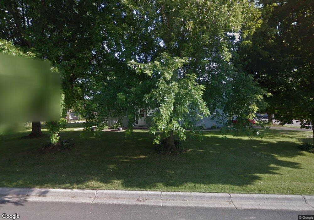
1948 12th Ave W Shakopee, MN 55379
Estimated Value: $390,000 - $451,000
4
Beds
3
Baths
1,492
Sq Ft
$281/Sq Ft
Est. Value
About This Home
This home is located at 1948 12th Ave W, Shakopee, MN 55379 and is currently estimated at $418,685, approximately $280 per square foot. 1948 12th Ave W is a home located in Scott County with nearby schools including Sweeney Elementary School, East Middle School, and Shakopee Senior High School.
Ownership History
Date
Name
Owned For
Owner Type
Purchase Details
Closed on
Mar 25, 2016
Sold by
Allen Bruce B and Allen Colette
Bought by
Arvin Shawn and Ennis Sarah J
Current Estimated Value
Home Financials for this Owner
Home Financials are based on the most recent Mortgage that was taken out on this home.
Original Mortgage
$248,417
Outstanding Balance
$193,967
Interest Rate
3.25%
Mortgage Type
FHA
Estimated Equity
$224,718
Purchase Details
Closed on
Mar 6, 2009
Sold by
Theis Michelle A and Theis Joel D
Bought by
Allen Bruce B
Create a Home Valuation Report for This Property
The Home Valuation Report is an in-depth analysis detailing your home's value as well as a comparison with similar homes in the area
Home Values in the Area
Average Home Value in this Area
Purchase History
| Date | Buyer | Sale Price | Title Company |
|---|---|---|---|
| Arvin Shawn | $253,000 | Trademark Title Services Inc | |
| Allen Bruce B | $216,300 | -- |
Source: Public Records
Mortgage History
| Date | Status | Borrower | Loan Amount |
|---|---|---|---|
| Open | Arvin Shawn | $248,417 |
Source: Public Records
Tax History Compared to Growth
Tax History
| Year | Tax Paid | Tax Assessment Tax Assessment Total Assessment is a certain percentage of the fair market value that is determined by local assessors to be the total taxable value of land and additions on the property. | Land | Improvement |
|---|---|---|---|---|
| 2025 | $4,270 | $393,100 | $175,200 | $217,900 |
| 2024 | $4,174 | $382,100 | $170,100 | $212,000 |
| 2023 | $4,400 | $363,200 | $166,800 | $196,400 |
| 2022 | $4,330 | $375,400 | $166,800 | $208,600 |
| 2021 | $3,426 | $322,100 | $136,800 | $185,300 |
| 2020 | $3,680 | $303,500 | $117,100 | $186,400 |
| 2019 | $3,852 | $288,200 | $102,600 | $185,600 |
| 2018 | $3,234 | $0 | $0 | $0 |
| 2016 | $3,216 | $0 | $0 | $0 |
| 2014 | -- | $0 | $0 | $0 |
Source: Public Records
Map
Nearby Homes
- 1226 Polk St S
- 1259 Taylor St Unit 3
- 2075 13th Ave W
- 1279 Taylor St Unit 5
- 1538 12th Ave W
- 1187 Jackson St S
- 1853 Stone Meadow Blvd
- 2224 Quarry Ln
- 2123 Agate Curve
- 2007 10th Ave W Unit 12
- 1813 6th Ave W
- 816 Regent Dr
- 1603 3rd Ave W
- 1690 Windigo Ln
- 1861 Attenborough St
- The Ferguson Plan at Bluff View - Cottage Series
- The Edison Plan at Bluff View - Cottage Series
- The Tatum Plan at Bluff View - Cottage Series
- The Pattison Plan at Bluff View - Cottage Series
- The Harmony Plan at Bluff View - Freedom Series
- 1948 1948 12th-Avenue-w
- 1221 Polk St S
- 1200 Tyler St S
- 1227 Polk St S
- 1204 Tyler St S
- 1193 Polk St S
- 1229 Polk St S
- 1214 Tyler St S
- 1198 Tyler St S
- 1210 Polk St S
- 1185 Polk St S
- 1237 Polk St S
- 1224 Tyler St S
- 2050 12th Ave W
- 2017 12th Ave W
- 1239 Polk St S
- 1220 Polk St S
- 2052 12th Ave W
- 1177 Polk St S
- 2054 12th Ave W