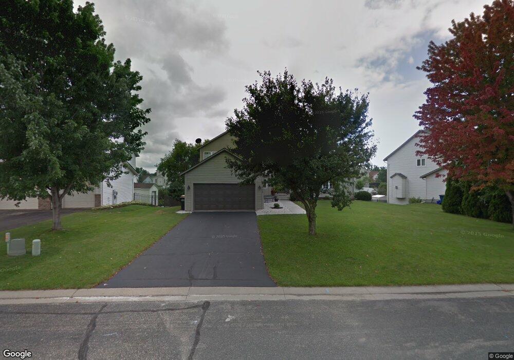
1948 Anton Way Shakopee, MN 55379
Estimated Value: $509,000 - $603,000
4
Beds
4
Baths
2,398
Sq Ft
$228/Sq Ft
Est. Value
About This Home
This home is located at 1948 Anton Way, Shakopee, MN 55379 and is currently estimated at $547,245, approximately $228 per square foot. 1948 Anton Way is a home located in Scott County with nearby schools including Sun Path Elementary School, Shakopee West Middle School, and Shakopee Senior High School.
Ownership History
Date
Name
Owned For
Owner Type
Purchase Details
Closed on
Jun 29, 2017
Sold by
Bjerken Maria B and Bjerken Kevin S
Bought by
Langsy Lee and Langsy Jasmina
Current Estimated Value
Home Financials for this Owner
Home Financials are based on the most recent Mortgage that was taken out on this home.
Original Mortgage
$369,900
Outstanding Balance
$307,830
Interest Rate
3.95%
Mortgage Type
VA
Estimated Equity
$239,415
Purchase Details
Closed on
Dec 30, 1997
Sold by
Us Home Corporation
Bought by
Bjerken Kevin S and Bjerken Maria B
Create a Home Valuation Report for This Property
The Home Valuation Report is an in-depth analysis detailing your home's value as well as a comparison with similar homes in the area
Home Values in the Area
Average Home Value in this Area
Purchase History
| Date | Buyer | Sale Price | Title Company |
|---|---|---|---|
| Langsy Lee | $369,900 | Trademark Title Services Inc | |
| Bjerken Kevin S | $167,930 | -- |
Source: Public Records
Mortgage History
| Date | Status | Borrower | Loan Amount |
|---|---|---|---|
| Open | Langsy Lee | $369,900 |
Source: Public Records
Tax History Compared to Growth
Tax History
| Year | Tax Paid | Tax Assessment Tax Assessment Total Assessment is a certain percentage of the fair market value that is determined by local assessors to be the total taxable value of land and additions on the property. | Land | Improvement |
|---|---|---|---|---|
| 2025 | $5,416 | $506,600 | $141,400 | $365,200 |
| 2024 | $5,102 | $511,800 | $141,400 | $370,400 |
| 2023 | $5,364 | $476,400 | $142,800 | $333,600 |
| 2022 | $4,954 | $491,800 | $162,300 | $329,500 |
| 2021 | $4,454 | $390,400 | $128,100 | $262,300 |
| 2020 | $4,922 | $383,200 | $122,900 | $260,300 |
| 2019 | $5,010 | $372,100 | $109,200 | $262,900 |
| 2018 | $5,694 | $0 | $0 | $0 |
| 2016 | $5,548 | $0 | $0 | $0 |
| 2014 | -- | $0 | $0 | $0 |
Source: Public Records
Map
Nearby Homes
- 1844 Mockingbird Ave Unit 1102
- 1820 Mockingbird Ave
- 2052 Wilhelm Ct
- 1552 Dublin Ct
- 2471 Tyrone Dr
- 2447 Tyrone Dr
- 2399 Tyrone Dr
- 1511 England Way
- 2263 Tyrone Dr
- 1624 Philipp Way
- 2006 Tyrone Dr
- 1895 Omega Dr
- 1022 Providence Dr
- 1590 Countryside Dr Unit 5108
- 2388 Vierling Dr E
- Lewis Plan at Summerland Place - Landmark Collection
- 2795 Downing Ave
- Vanderbilt Plan at Summerland Place - Landmark Collection
- Sinclair Plan at Summerland Place - Landmark Collection
- 2804 Trinity Dr
- 1928 Anton Way
- 1968 Anton Way
- 1931 Francis Ct
- 1888 Anton Way
- 1921 Francis Ct
- 1988 Anton Way
- 1965 Anton Way
- 1975 Anton Way
- 1945 Anton Way
- 1868 Anton Way
- 2028 Anton Way
- 1985 Anton Way
- 1941 Francis Ct
- 1925 Anton Way
- 1911 Francis Ct
- 1905 Anton Way
- 2048 Anton Way
- 1848 Anton Way
- 2005 Anton Way
- 1954 French Trace Ave