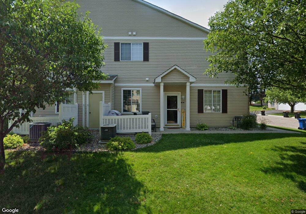
1948 Mockingbird Ave Unit 802 Shakopee, MN 55379
Estimated Value: $257,544 - $268,000
2
Beds
2
Baths
1,478
Sq Ft
$178/Sq Ft
Est. Value
About This Home
This home is located at 1948 Mockingbird Ave Unit 802, Shakopee, MN 55379 and is currently estimated at $262,636, approximately $177 per square foot. 1948 Mockingbird Ave Unit 802 is a home located in Scott County with nearby schools including Sun Path Elementary School, Shakopee West Middle School, and Shakopee Senior High School.
Ownership History
Date
Name
Owned For
Owner Type
Purchase Details
Closed on
Dec 14, 2005
Sold by
Lawrie Arlene M
Bought by
Nadeau Amy
Current Estimated Value
Purchase Details
Closed on
Oct 17, 2000
Sold by
Centex Homes Minnesota Division
Bought by
Lawrie Jerome T
Create a Home Valuation Report for This Property
The Home Valuation Report is an in-depth analysis detailing your home's value as well as a comparison with similar homes in the area
Home Values in the Area
Average Home Value in this Area
Purchase History
| Date | Buyer | Sale Price | Title Company |
|---|---|---|---|
| Nadeau Amy | -- | -- | |
| Lawrie Jerome T | $139,535 | -- |
Source: Public Records
Tax History Compared to Growth
Tax History
| Year | Tax Paid | Tax Assessment Tax Assessment Total Assessment is a certain percentage of the fair market value that is determined by local assessors to be the total taxable value of land and additions on the property. | Land | Improvement |
|---|---|---|---|---|
| 2025 | $2,216 | $241,200 | $68,500 | $172,700 |
| 2024 | $2,296 | $230,100 | $65,200 | $164,900 |
| 2023 | $2,352 | $226,800 | $63,900 | $162,900 |
| 2022 | $2,268 | $228,400 | $65,500 | $162,900 |
| 2021 | $1,944 | $193,000 | $51,300 | $141,700 |
| 2020 | $2,092 | $184,400 | $42,000 | $142,400 |
| 2019 | $1,960 | $175,900 | $40,000 | $135,900 |
| 2018 | $1,782 | $0 | $0 | $0 |
| 2016 | $1,752 | $0 | $0 | $0 |
| 2014 | -- | $0 | $0 | $0 |
Source: Public Records
Map
Nearby Homes
- 1844 Mockingbird Ave Unit 1102
- 1820 Mockingbird Ave
- 2148 Mcgregor Ln
- 1552 Dublin Ct
- 2471 Tyrone Dr
- 2447 Tyrone Dr
- 2399 Tyrone Dr
- 2263 Tyrone Dr
- 1511 England Way
- 2312 Vierling Dr E
- 2388 Vierling Dr E
- 2006 Tyrone Dr
- 1624 Philipp Way
- Lewis Plan at Summerland Place - Landmark Collection
- 2795 Downing Ave
- Vanderbilt Plan at Summerland Place - Landmark Collection
- Sinclair Plan at Summerland Place - Landmark Collection
- 2052 Wilhelm Ct
- 2804 Trinity Dr
- Nokomis Plan at Summerland Place - The Tradition Collection
- 1660 Brittany Dr
- 1952 Mockingbird Ave
- 1944 Mockingbird Ave
- 1664 Brittany Dr Unit 880
- 1656 Brittany Dr
- 1940 Mockingbird Ave
- 1652 Brittany Dr Unit 805
- 1932 Mockingbird Ave Unit 907
- 1928 Mockingbird Ave
- 1936 Mockingbird Ave Unit 908
- 1924 Mockingbird Ave
- 1916 Mockingbird Ave
- 1912 Mockingbird Ave Unit 903
- 1920 Mockingbird Ave Unit 901
- 1908 Mockingbird Ave Unit 904
- 1949 Mockingbird Ave
- 1646 Brittany Dr
- 1663 Brittany Dr Unit 102
- 1659 Brittany Dr
- 1955 Mockingbird Ave