Estimated Value: $438,000 - $623,000
3
Beds
2
Baths
1,638
Sq Ft
$324/Sq Ft
Est. Value
About This Home
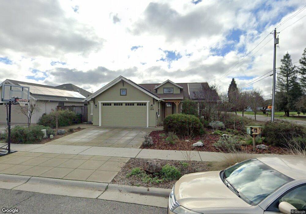
This home is located at 1949 Waxwing Way Unit 27, Chico, CA 95926 and is currently estimated at $531,429, approximately $324 per square foot. 1949 Waxwing Way Unit 27 is a home located in Butte County with nearby schools including Emma Wilson Elementary School, Chico Junior High School, and Chico High School.
Ownership History
Date
Name
Owned For
Owner Type
Purchase Details
Closed on
Dec 14, 2012
Sold by
Shastan Homes Inc
Bought by
Walz Andrew D and Stam Marieka T
Current Estimated Value
Home Financials for this Owner
Home Financials are based on the most recent Mortgage that was taken out on this home.
Original Mortgage
$257,440
Outstanding Balance
$47,363
Interest Rate
3.37%
Mortgage Type
New Conventional
Estimated Equity
$484,066
Create a Home Valuation Report for This Property
The Home Valuation Report is an in-depth analysis detailing your home's value as well as a comparison with similar homes in the area
Home Values in the Area
Average Home Value in this Area
Purchase History
| Date | Buyer | Sale Price | Title Company |
|---|---|---|---|
| Walz Andrew D | $315,500 | Mid Valley Title & Escrow Co |
Source: Public Records
Mortgage History
| Date | Status | Borrower | Loan Amount |
|---|---|---|---|
| Open | Walz Andrew D | $257,440 |
Source: Public Records
Tax History Compared to Growth
Tax History
| Year | Tax Paid | Tax Assessment Tax Assessment Total Assessment is a certain percentage of the fair market value that is determined by local assessors to be the total taxable value of land and additions on the property. | Land | Improvement |
|---|---|---|---|---|
| 2025 | $4,154 | $376,189 | $141,608 | $234,581 |
| 2024 | $4,154 | $368,814 | $138,832 | $229,982 |
| 2023 | $4,039 | $361,583 | $136,110 | $225,473 |
| 2022 | $3,935 | $354,494 | $133,442 | $221,052 |
| 2021 | $3,970 | $347,544 | $130,826 | $216,718 |
| 2020 | $3,976 | $343,981 | $129,485 | $214,496 |
| 2019 | $3,902 | $337,238 | $126,947 | $210,291 |
| 2018 | $3,802 | $330,626 | $124,458 | $206,168 |
| 2017 | $3,694 | $324,144 | $122,018 | $202,126 |
| 2016 | $3,378 | $317,789 | $119,626 | $198,163 |
| 2015 | $3,428 | $313,017 | $117,830 | $195,187 |
| 2014 | $3,334 | $306,886 | $115,522 | $191,364 |
Source: Public Records
Map
Nearby Homes
- 2176 Bidwell Ave
- 1 4 Acre Ct
- 1259 Glenn Haven Dr
- 1109 Valley Oak Dr
- 2135 Nord Ave Unit 40
- 5 River Wood Loop
- 18 River Wood Loop
- 2064 Kennedy Ave
- 1145 W East Ave
- 1702 Jetta Ct
- 1022 Sir William Ct
- 1045 Windsor Way
- 1004 Regency Dr
- 887 Ashbury Ct
- 1008 Meier Dr
- 65 Sunbury Rd
- 1395 Nord Ave
- 1397 Nord Ave
- 2725 W Sacramento Ave
- 115 Hampshire Dr
- 1945 Waxwing Way
- 1948 Waxwing Way
- 1946 Waxwing Way
- 1937 Waxwing Way
- 1937 Waxwing Way Unit 24
- 1924 Waxwing Way Unit 31
- 1150 Glenwood Ave
- 1145 Glenwood Ave
- 1920 Waxwing Way
- 1104 Glenwood Ave
- 1933 Waxwing Way
- 1151 Glenwood Ave
- 1929 Waxwing Way Unit 22
- 1929 Waxwing Way
- 1925 Waxwing Way
- 1925 Waxwing Way Unit 21
- 1926 Cameron Ln
- 1948 Wisteria Ln
- 1940 Wisteria Ln Unit 3
- 1944 Wisteria Ln