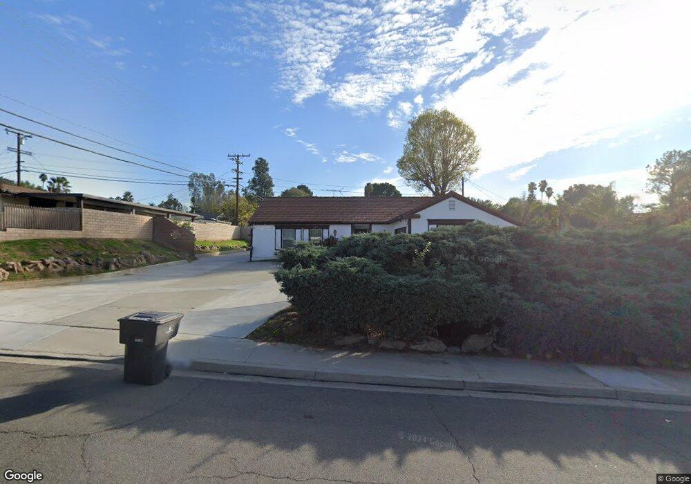
196 Barret Rd Riverside, CA 92507
University NeighborhoodEstimated Value: $641,000 - $775,000
4
Beds
2
Baths
2,716
Sq Ft
$260/Sq Ft
Est. Value
About This Home
This home is located at 196 Barret Rd, Riverside, CA 92507 and is currently estimated at $707,132, approximately $260 per square foot. 196 Barret Rd is a home located in Riverside County with nearby schools including Highland Elementary, University Heights Middle School, and John W. North High School.
Ownership History
Date
Name
Owned For
Owner Type
Purchase Details
Closed on
Feb 22, 2014
Sold by
Chiou Venyeh Wayne and Wen Yeuhhsia Andrea
Bought by
Cw Family Trust
Current Estimated Value
Purchase Details
Closed on
Nov 18, 2010
Sold by
Davidson Christie
Bought by
Chiou Ven Yeh Wayne and Wen Yueh Hsia Andrea
Home Financials for this Owner
Home Financials are based on the most recent Mortgage that was taken out on this home.
Original Mortgage
$172,500
Interest Rate
4.23%
Mortgage Type
New Conventional
Create a Home Valuation Report for This Property
The Home Valuation Report is an in-depth analysis detailing your home's value as well as a comparison with similar homes in the area
Home Values in the Area
Average Home Value in this Area
Purchase History
| Date | Buyer | Sale Price | Title Company |
|---|---|---|---|
| Cw Family Trust | -- | None Available | |
| Chiou Ven Yeh Wayne | $240,000 | Lawyers Title |
Source: Public Records
Mortgage History
| Date | Status | Borrower | Loan Amount |
|---|---|---|---|
| Closed | Chiou Ven Yeh Wayne | $172,500 |
Source: Public Records
Tax History
| Year | Tax Paid | Tax Assessment Tax Assessment Total Assessment is a certain percentage of the fair market value that is determined by local assessors to be the total taxable value of land and additions on the property. | Land | Improvement |
|---|---|---|---|---|
| 2025 | $4,928 | $453,124 | $102,485 | $350,639 |
| 2023 | $4,928 | $295,530 | $98,506 | $197,024 |
| 2022 | $3,289 | $289,736 | $96,575 | $193,161 |
| 2021 | $3,253 | $284,056 | $94,682 | $189,374 |
| 2020 | $3,228 | $281,145 | $93,712 | $187,433 |
| 2019 | $3,168 | $275,633 | $91,875 | $183,758 |
| 2018 | $3,107 | $270,229 | $90,075 | $180,154 |
| 2017 | $3,052 | $264,931 | $88,309 | $176,622 |
| 2016 | $2,858 | $259,737 | $86,578 | $173,159 |
| 2015 | $2,817 | $255,838 | $85,279 | $170,559 |
| 2014 | $2,791 | $250,828 | $83,609 | $167,219 |
Source: Public Records
Map
Nearby Homes
- 4495 Mt Vernon Ave
- 7 Gage
- 3415 Valencia Hill Dr
- 138 Green Oaks Dr
- 3314 Celeste Dr
- 230 E Blaine St
- 461 W Blaine St
- 587 W Blaine St
- 3085 Flanders Rd
- 2935 Galaxie Heights Rd
- 3000 Galaxie Rd
- 20682 Hill Top Dr
- 511 Athens St
- 5110 Caldera Ct
- 375 Central Ave Unit 124
- 375 Central Ave Unit 14
- 375 Central Ave Unit 24
- 375 Central Ave Unit 83
- 2005 Mt Vernon Ave
- 1110 W Blaine St Unit 102
- 184 Barret Rd
- 212 Barret Rd
- 201 W Broadbent Dr
- 183 W Broadbent Dr
- 207 W Broadbent Dr
- 199 Barret Rd
- 166 Barret Rd
- 183 Barret Rd
- 211 Barret Rd
- 171 W Broadbent Dr
- 167 Barret Rd
- 152 Barret Rd
- 194 W Broadbent Dr
- 244 Barret Rd
- 208 W Broadbent Dr
- 245 W Broadbent Dr
- 168 W Broadbent Dr
- 161 W Broadbent Dr
- 243 Barret Rd
- 200 W Big Springs Rd
Your Personal Tour Guide
Ask me questions while you tour the home.