Estimated Value: $375,610 - $395,000
3
Beds
2
Baths
1,306
Sq Ft
$298/Sq Ft
Est. Value
About This Home
This home is located at 1962 72 1/2 St, Hugo, MN 55038 and is currently estimated at $388,653, approximately $297 per square foot. 1962 72 1/2 St is a home located in Anoka County with nearby schools including Centerville Elementary School, Centennial Middle School, and Centennial High School.
Ownership History
Date
Name
Owned For
Owner Type
Purchase Details
Closed on
Aug 8, 2025
Sold by
Thompson Shawn and Thompson Lynette
Bought by
Cowle John and Danzl Emily
Current Estimated Value
Home Financials for this Owner
Home Financials are based on the most recent Mortgage that was taken out on this home.
Original Mortgage
$370,500
Outstanding Balance
$370,182
Interest Rate
6.77%
Mortgage Type
New Conventional
Estimated Equity
$18,471
Purchase Details
Closed on
Dec 17, 2001
Sold by
Kennicuh Fred L and Kennicuh Ann Marie
Bought by
Thompson Lynette and Thompson Shawn
Create a Home Valuation Report for This Property
The Home Valuation Report is an in-depth analysis detailing your home's value as well as a comparison with similar homes in the area
Home Values in the Area
Average Home Value in this Area
Purchase History
| Date | Buyer | Sale Price | Title Company |
|---|---|---|---|
| Cowle John | $390,000 | -- | |
| Thompson Lynette | $176,900 | -- |
Source: Public Records
Mortgage History
| Date | Status | Borrower | Loan Amount |
|---|---|---|---|
| Open | Cowle John | $370,500 |
Source: Public Records
Tax History Compared to Growth
Tax History
| Year | Tax Paid | Tax Assessment Tax Assessment Total Assessment is a certain percentage of the fair market value that is determined by local assessors to be the total taxable value of land and additions on the property. | Land | Improvement |
|---|---|---|---|---|
| 2025 | $4,521 | $377,700 | $100,000 | $277,700 |
| 2024 | $4,521 | $378,900 | $106,700 | $272,200 |
| 2023 | $3,996 | $305,900 | $96,800 | $209,100 |
| 2022 | $3,594 | $323,500 | $104,000 | $219,500 |
| 2021 | $3,820 | $247,900 | $72,900 | $175,000 |
| 2020 | $3,765 | $257,300 | $92,000 | $165,300 |
| 2019 | $3,762 | $242,900 | $81,400 | $161,500 |
| 2018 | $3,164 | $228,600 | $0 | $0 |
| 2017 | $2,890 | $202,500 | $0 | $0 |
| 2016 | $2,994 | $176,700 | $0 | $0 |
| 2015 | -- | $176,700 | $57,700 | $119,000 |
| 2014 | -- | $159,100 | $54,000 | $105,100 |
Source: Public Records
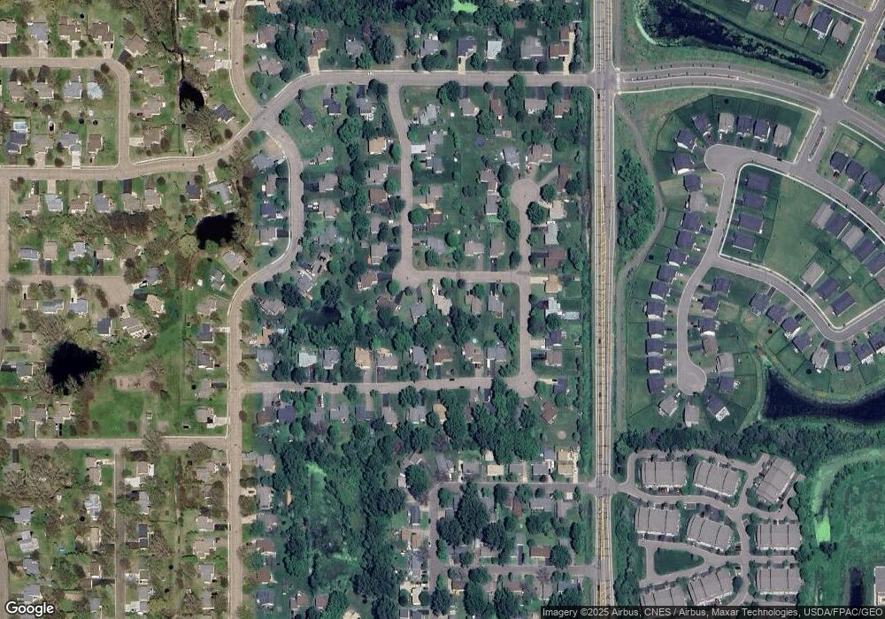
Map
Nearby Homes
- 7309 Deer Pass Dr
- 7197 Brian Dr
- 2098 Willow Cir
- 7317 Brian Dr
- 2002 Willow Cir
- 2051 Diamond Ln
- 7353 20th Ave
- 1858 Laramee Ln
- 7084 Cottonwood Ct
- 7393 Emily Cir
- 1820 Laramee Ln
- 1840 Old Mill Ct
- 7371 Old Mill Rd
- 2173 Heron Ct
- 7333 Peltier Cir
- 7296 Crane Dr
- Clearwater Plan at Watermark - Landmark Collection
- Courtland II Plan at Watermark - Heritage Collection
- Vanderbilt Plan at Watermark - Discovery Collection
- Burnham Plan at Watermark - Discovery Collection
- 1968 72 1/2 St
- 1956 72 1 2 St
- 1956 72 1/2 St
- 1963 72nd St
- 1971 72nd St
- 1976 72 1/2 St
- 1955 72nd St
- 7248 Twin Lakes Ave
- 1948 72 1/2 St
- 1977 72nd St
- 1969 72 1/2 St
- 1949 72nd St
- 7239 Twin Lakes Ave
- 7252 Twin Lakes Ave
- 1975 72 1/2 St
- 7247 Twin Lakes Ave
- 1943 72nd St
- 7234 Unity Ave
- 7240 Unity Ave
- 7251 Twin Lakes Ave