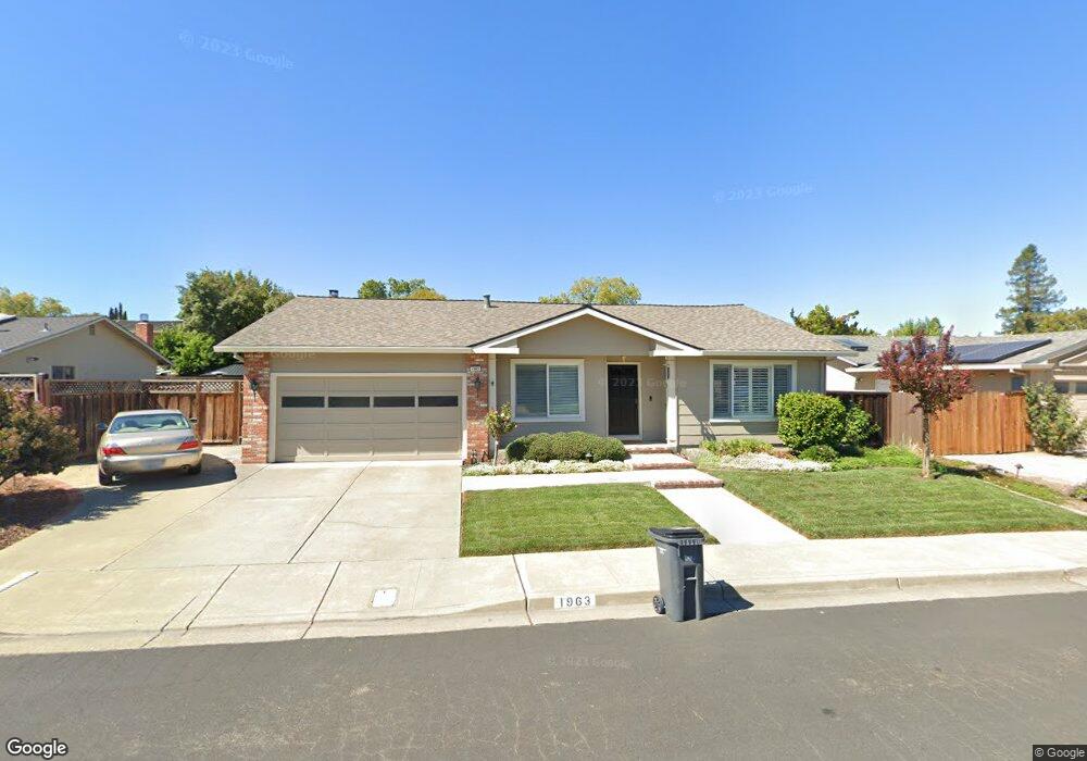
1963 Brooktree Way Pleasanton, CA 94566
Amador Valley NeighborhoodEstimated Value: $1,492,593 - $1,714,000
4
Beds
2
Baths
1,854
Sq Ft
$879/Sq Ft
Est. Value
About This Home
This home is located at 1963 Brooktree Way, Pleasanton, CA 94566 and is currently estimated at $1,628,898, approximately $878 per square foot. 1963 Brooktree Way is a home located in Alameda County with nearby schools including Alisal Elementary School, Harvest Park Middle School, and Amador Valley High School.
Ownership History
Date
Name
Owned For
Owner Type
Purchase Details
Closed on
Nov 6, 2014
Sold by
Carter Rebecca J
Bought by
Carter Rebecca J and Rebecca J Carter Revocable Tru
Current Estimated Value
Purchase Details
Closed on
Apr 13, 1994
Sold by
Worley Norman C
Bought by
Carter Rebecca J
Home Financials for this Owner
Home Financials are based on the most recent Mortgage that was taken out on this home.
Original Mortgage
$150,000
Interest Rate
7.59%
Create a Home Valuation Report for This Property
The Home Valuation Report is an in-depth analysis detailing your home's value as well as a comparison with similar homes in the area
Home Values in the Area
Average Home Value in this Area
Purchase History
| Date | Buyer | Sale Price | Title Company |
|---|---|---|---|
| Carter Rebecca J | -- | None Available | |
| Carter Rebecca J | $287,500 | Commonwealth Land Title Ins |
Source: Public Records
Mortgage History
| Date | Status | Borrower | Loan Amount |
|---|---|---|---|
| Previous Owner | Carter Rebecca J | $150,000 |
Source: Public Records
Tax History
| Year | Tax Paid | Tax Assessment Tax Assessment Total Assessment is a certain percentage of the fair market value that is determined by local assessors to be the total taxable value of land and additions on the property. | Land | Improvement |
|---|---|---|---|---|
| 2025 | $5,615 | $481,634 | $146,675 | $341,959 |
| 2024 | $5,615 | $472,054 | $143,799 | $335,255 |
| 2023 | $5,549 | $469,662 | $140,980 | $328,682 |
| 2022 | $5,256 | $453,453 | $138,216 | $322,237 |
| 2021 | $5,120 | $444,426 | $135,506 | $315,920 |
| 2020 | $5,055 | $446,797 | $134,117 | $312,680 |
| 2019 | $5,114 | $438,037 | $131,487 | $306,550 |
| 2018 | $5,009 | $429,449 | $128,909 | $300,540 |
| 2017 | $4,881 | $421,031 | $126,382 | $294,649 |
| 2016 | $4,502 | $412,777 | $123,905 | $288,872 |
| 2015 | $4,418 | $406,579 | $122,044 | $284,535 |
| 2014 | $4,494 | $398,615 | $119,654 | $278,961 |
Source: Public Records
Map
Nearby Homes
- 4178 Francisco St
- 4586 Gatetree Cir
- 4067 Alvarado St
- 4563 Gatetree Cir
- 4823 Pipit Ct
- 4214 Wells St
- 4019 Rennellwood Way
- 1135 Tiffany Ln
- 1874 Harvest Rd
- 4452 Del Valle Pkwy
- 4022 Silver St
- 1681 Holly Cir
- 1421 Calle Enrique
- 2128 Alexander Way
- 1747 Nursery Way
- 297 Del Valle Ct
- 1558 Calle Enrique
- 2229 Delucchi Dr
- 4073 Stanley Blvd
- 337 Trenton Cir
- 1955 Brooktree Way
- 1971 Brooktree Way
- 1883 Rosetree Ct
- 1865 Rosetree Ct
- 1941 Brooktree Way
- 1895 Rosetree Ct
- 1979 Brooktree Way
- 1960 Brooktree Way
- 1909 Brooktree Way
- 1968 Brooktree Way
- 1952 Brooktree Way
- 1847 Rosetree Ct
- 1976 Brooktree Way
- 1987 Brooktree Way
- 1944 Brooktree Way
- 1898 Rosetree Ct
- 1829 Rosetree Ct
- 4358 Valley Ave Unit D5
- 4360 Valley Ave Unit C6
- 4356 Valley Ave Unit D6
Your Personal Tour Guide
Ask me questions while you tour the home.