1965 Webster Rd Quitman, GA 31643
Estimated Value: $154,000
--
Bed
--
Bath
1,686
Sq Ft
$91/Sq Ft
Est. Value
About This Home
This home is located at 1965 Webster Rd, Quitman, GA 31643 and is currently estimated at $154,000, approximately $91 per square foot. 1965 Webster Rd is a home with nearby schools including Quitman Elementary School and First Baptist Church Preschool & Kindergarten.
Ownership History
Date
Name
Owned For
Owner Type
Purchase Details
Closed on
Jan 27, 2023
Sold by
Price Family Farms Ii Lllp
Bought by
Quitman Brooks County Airport Authority
Current Estimated Value
Purchase Details
Closed on
Feb 15, 2012
Sold by
Price Family Farms Ii Lllp
Bought by
Conservation Use Covenant Recording
Purchase Details
Closed on
Apr 24, 2009
Sold by
Price Family Farms Ii Lllp
Bought by
Preferential Assessment Covenant
Purchase Details
Closed on
Dec 28, 2004
Sold by
Price H T
Bought by
Price Family Farms Ii Lllp
Purchase Details
Closed on
Mar 16, 1987
Sold by
Neely Wayne and Neely Lorene
Bought by
Price H T
Create a Home Valuation Report for This Property
The Home Valuation Report is an in-depth analysis detailing your home's value as well as a comparison with similar homes in the area
Home Values in the Area
Average Home Value in this Area
Purchase History
| Date | Buyer | Sale Price | Title Company |
|---|---|---|---|
| Quitman Brooks County Airport Authority | $63,960 | -- | |
| Conservation Use Covenant Recording | -- | -- | |
| Preferential Assessment Covenant | -- | -- | |
| Price Family Farms Ii Lllp | -- | -- | |
| Price H T | $7,000 | -- |
Source: Public Records
Tax History Compared to Growth
Tax History
| Year | Tax Paid | Tax Assessment Tax Assessment Total Assessment is a certain percentage of the fair market value that is determined by local assessors to be the total taxable value of land and additions on the property. | Land | Improvement |
|---|---|---|---|---|
| 2024 | $2,663 | $462,480 | $457,200 | $5,280 |
| 2023 | $2,648 | $413,560 | $409,080 | $4,480 |
| 2022 | $2,767 | $392,920 | $389,600 | $3,320 |
| 2021 | $1,536 | $176,760 | $173,480 | $3,280 |
| 2020 | $4,919 | $177,120 | $173,480 | $3,640 |
| 2019 | $1,424 | $145,160 | $141,960 | $3,200 |
| 2018 | $4,091 | $140,080 | $136,880 | $3,200 |
| 2017 | $1,346 | $139,920 | $136,880 | $3,040 |
| 2016 | $1,349 | $139,920 | $136,880 | $3,040 |
| 2015 | -- | $140,200 | $136,880 | $3,320 |
| 2014 | -- | $140,200 | $136,880 | $3,320 |
| 2013 | -- | $140,200 | $136,880 | $3,320 |
Source: Public Records
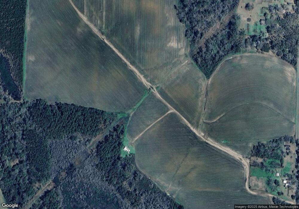
Map
Nearby Homes
- 302 Waterside Dr
- 1002 N Madison St
- 714 Morris Ave
- 602 N Webster St
- 304 W Rountree St
- 621 N Court St
- 606 N Court St
- 802 W Lafayette St
- 503 N Culpepper St
- 2434 Dunn Rd
- 000 E Gordon St
- 309 Eastlake Dr
- 1103 W Railroad St
- 804 Westlake Dr
- 84 W Us
- 1306 E Screven St
- 1540 Dunn Rd
- 237 Turkey Ridge Ln
- 5616 Empress Rd
- 7747 Empress Rd
- 2285 Webster Rd
- 2081 Webster Rd
- 2084 Webster Rd
- 2015 Webster Rd
- 2371 Webster Rd
- 2431 Webster Rd
- 2098 Moultrie Hwy
- 2348 Moultrie Hwy
- 1908 Barwick Rd
- 1575 Moultrie Hwy
- 1586 Webster Rd
- 1645 Barwick Rd
- 1783 Barwick Rd
- 1787 Barwick Rd
- 1984 Barwick Rd
- 00 Moultrie Hwy
- 1776 Moultrie Hwy
- 2234 Barwick Rd
- 2179 Barwick Rd
- 0000 110 Acres Moultrie Hwy