1968 Wineberry Path Redding, CA 96003
Simpson University Region NeighborhoodEstimated Value: $371,275 - $404,000
2
Beds
2
Baths
1,578
Sq Ft
$245/Sq Ft
Est. Value
About This Home
This home is located at 1968 Wineberry Path, Redding, CA 96003 and is currently estimated at $387,069, approximately $245 per square foot. 1968 Wineberry Path is a home located in Shasta County with nearby schools including Columbia Elementary School, Mountain View Middle School, and Foothill High School.
Ownership History
Date
Name
Owned For
Owner Type
Purchase Details
Closed on
Apr 17, 2018
Sold by
Walton Carole L
Bought by
Walton Carole L and Carole L Walton Living Trust
Current Estimated Value
Purchase Details
Closed on
Nov 1, 2011
Sold by
Stiles Mukunda T
Bought by
Walton Carole L
Purchase Details
Closed on
Jan 5, 2006
Sold by
Stiles Viola M
Bought by
Stiles Viola M and Viola M Stiles Revocable Trust 2006
Create a Home Valuation Report for This Property
The Home Valuation Report is an in-depth analysis detailing your home's value as well as a comparison with similar homes in the area
Home Values in the Area
Average Home Value in this Area
Purchase History
| Date | Buyer | Sale Price | Title Company |
|---|---|---|---|
| Walton Carole L | -- | None Available | |
| Walton Carole L | $190,000 | Placer Title Company | |
| Stiles Viola M | -- | None Available |
Source: Public Records
Tax History
| Year | Tax Paid | Tax Assessment Tax Assessment Total Assessment is a certain percentage of the fair market value that is determined by local assessors to be the total taxable value of land and additions on the property. | Land | Improvement |
|---|---|---|---|---|
| 2025 | $2,587 | $238,641 | $56,518 | $182,123 |
| 2024 | $2,593 | $233,962 | $55,410 | $178,552 |
| 2023 | $2,593 | $229,375 | $54,324 | $175,051 |
| 2022 | $2,498 | $224,878 | $53,259 | $171,619 |
| 2021 | $2,504 | $220,469 | $52,215 | $168,254 |
| 2020 | $2,465 | $218,209 | $51,680 | $166,529 |
| 2019 | $2,407 | $213,931 | $50,667 | $163,264 |
| 2018 | $2,444 | $209,737 | $49,674 | $160,063 |
| 2017 | $2,469 | $205,625 | $48,700 | $156,925 |
| 2016 | $2,315 | $201,595 | $47,746 | $153,849 |
| 2015 | $2,278 | $198,568 | $47,029 | $151,539 |
| 2014 | $2,215 | $194,679 | $46,108 | $148,571 |
Source: Public Records
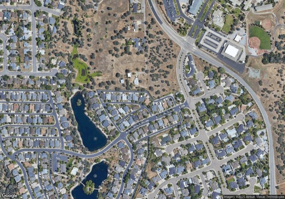
Map
Nearby Homes
- 2192 Princeton Way
- 2199 Princeton Way
- 332 Franciscan Trail
- 2182 Cadjew St
- 2110 Cadjew St
- 2134 Cadjew St
- 550 Armando Ave
- 61 Tidmore Ln
- 547 Casa Buena St
- 19424 Posey Ln
- 19219 Nike Ct
- 790 Volcano View Trail
- 1102 Hope Ln
- 667 Reddington Dr
- 531 Fair Hill Dr
- 006 Old Oregon Trail
- 965 Willow Brook Ln
- 11632 Ridgewood Rd
- 19340 Carnegie Ct
- 1991 Tiburon Dr
- 1974 Wineberry Path
- 1962 Wineberry Path
- 1950 Wineberry Path
- 1957 Wineberry Path
- 1992 Vineyard Trail
- 344 Sunridge Dr
- 1944 Wineberry Path
- 1974 Vineyard Trail
- 1939 Wineberry Path
- 2026 Vineyard Trail
- 1956 Vineyard Trail
- 1934 Wineberry Path
- 2044 Vineyard Trail
- 1927 Wineberry Path
- 1938 Vineyard Trail
- 1922 Wineberry Path
- 2062 Vineyard Trail
- 1920 Vineyard Trail
- 1999 Vineyard Trail
- 1983 Vineyard Trail
Your Personal Tour Guide
Ask me questions while you tour the home.