197 S Louie Cir Payson, AZ 85541
Estimated Value: $926,599 - $1,002,000
3
Beds
3
Baths
2,430
Sq Ft
$396/Sq Ft
Est. Value
About This Home
This home is located at 197 S Louie Cir, Payson, AZ 85541 and is currently estimated at $962,650, approximately $396 per square foot. 197 S Louie Cir is a home located in Gila County with nearby schools including Julia Randall Elementary School, Payson Elementary School, and Rim Country Middle School.
Ownership History
Date
Name
Owned For
Owner Type
Purchase Details
Closed on
Jun 22, 2006
Sold by
Henderson David and Henderson Christine Davidson
Bought by
Henderson David Keith and Henderson Christine Davidson
Current Estimated Value
Home Financials for this Owner
Home Financials are based on the most recent Mortgage that was taken out on this home.
Original Mortgage
$291,200
Interest Rate
6.25%
Mortgage Type
New Conventional
Create a Home Valuation Report for This Property
The Home Valuation Report is an in-depth analysis detailing your home's value as well as a comparison with similar homes in the area
Home Values in the Area
Average Home Value in this Area
Purchase History
| Date | Buyer | Sale Price | Title Company |
|---|---|---|---|
| Henderson David Keith | -- | Pioneer Title Agency | |
| Henderson David | -- | Pioneer Title Agency |
Source: Public Records
Mortgage History
| Date | Status | Borrower | Loan Amount |
|---|---|---|---|
| Closed | Henderson David | $291,200 |
Source: Public Records
Tax History Compared to Growth
Tax History
| Year | Tax Paid | Tax Assessment Tax Assessment Total Assessment is a certain percentage of the fair market value that is determined by local assessors to be the total taxable value of land and additions on the property. | Land | Improvement |
|---|---|---|---|---|
| 2025 | $6,686 | -- | -- | -- |
| 2024 | $6,686 | $85,343 | $6,435 | $78,908 |
| 2023 | $6,686 | $47,841 | $6,977 | $40,864 |
| 2022 | $7,419 | $61,580 | $6,977 | $54,603 |
| 2021 | $7,093 | $61,580 | $6,977 | $54,603 |
| 2020 | $6,923 | $0 | $0 | $0 |
| 2019 | $6,640 | $0 | $0 | $0 |
| 2018 | $6,354 | $0 | $0 | $0 |
| 2017 | $6,694 | $0 | $0 | $0 |
| 2016 | $6,529 | $0 | $0 | $0 |
| 2015 | $6,020 | $0 | $0 | $0 |
Source: Public Records
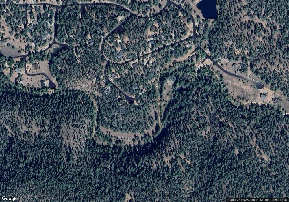
Map
Nearby Homes
- 169 E Green Apple Ln
- 269 W Homestead Ln
- 1349 S Hunter Creek Dr
- 166 N Wild Cat Cir
- 266 W Uphill Dr
- 136 S Hunter Creek Dr
- 197 W Ashby Apple Dr
- 1117 E Christopher Creek Loop
- 286 W Columbine Rd
- 1389 E Christopher Creek Loop
- 5304 N Bear Flat Rd
- 5175 N Bear Flat Rd
- 5175 N Bear Flat Rd Unit 141B
- 4678 N Bear Flat Rd
- 627 Buenagua Rd
- 858 University Dr
- 193 E Saddle Mountain Rd
- 370 N Coyote Trail
- 183 Raven Rd
- 474 N Meadow Way
- 191 S Louie Cir
- 199 S Louie Cir
- 187 S Louie Cir
- 197 S Wild Rose Dr
- 194 S Louie Cir
- 198 S Wild Rose Dr
- 178 S Louie Cir
- 167 W Wipila Wiki Dr
- Lot 14 Wipila Wiki -- Unit 14
- 153 W Wipila Wiki Dr
- 181 Wipila Wiki Dr Unit 14
- 000 Wipila Wiki Dr
- 0 Wipila Wiki Dr Unit 14
- 152 S Louie Cir
- 139 S Louie Cir
- XXX W Wipila Wiki Dr Unit 11
- 138 S Wild Rose Dr
- 138 Wild Rose Dr
- 191 S Wild Rose Dr
- 163 S Wild Rose Dr