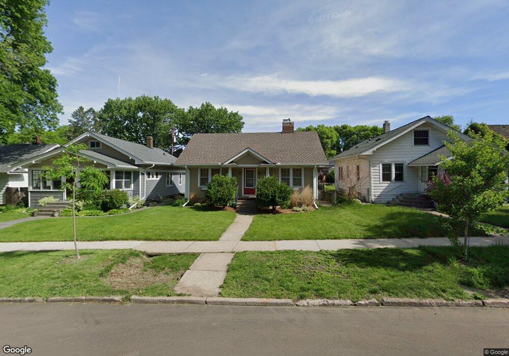
1983 Randolph Ave Saint Paul, MN 55105
Macalester-Groveland NeighborhoodEstimated Value: $410,000 - $478,000
4
Beds
3
Baths
918
Sq Ft
$481/Sq Ft
Est. Value
About This Home
This home is located at 1983 Randolph Ave, Saint Paul, MN 55105 and is currently estimated at $441,819, approximately $481 per square foot. 1983 Randolph Ave is a home located in Ramsey County with nearby schools including Groveland Park Elementary School, Hidden River Middle School, and Central Senior High School.
Ownership History
Date
Name
Owned For
Owner Type
Purchase Details
Closed on
Jun 6, 2019
Sold by
Humphrey Cheryl Cheryl
Bought by
Volk Randy Randy
Current Estimated Value
Home Financials for this Owner
Home Financials are based on the most recent Mortgage that was taken out on this home.
Original Mortgage
$249,372
Outstanding Balance
$218,003
Interest Rate
3.82%
Estimated Equity
$223,816
Purchase Details
Closed on
Apr 29, 2002
Sold by
Lietz Real Estate Investments Llc
Bought by
Powers Michael J
Purchase Details
Closed on
Sep 13, 2001
Sold by
Simonds Helen I
Bought by
Lietz Real Estate Investments
Create a Home Valuation Report for This Property
The Home Valuation Report is an in-depth analysis detailing your home's value as well as a comparison with similar homes in the area
Home Values in the Area
Average Home Value in this Area
Purchase History
| Date | Buyer | Sale Price | Title Company |
|---|---|---|---|
| Volk Randy Randy | $313,900 | -- | |
| Powers Michael J | $210,000 | -- | |
| Lietz Real Estate Investments | $148,000 | -- |
Source: Public Records
Mortgage History
| Date | Status | Borrower | Loan Amount |
|---|---|---|---|
| Open | Volk Randy Randy | $249,372 | |
| Closed | Volk Randy Randy | -- |
Source: Public Records
Tax History Compared to Growth
Tax History
| Year | Tax Paid | Tax Assessment Tax Assessment Total Assessment is a certain percentage of the fair market value that is determined by local assessors to be the total taxable value of land and additions on the property. | Land | Improvement |
|---|---|---|---|---|
| 2025 | $6,298 | $411,400 | $97,000 | $314,400 |
| 2023 | $6,298 | $400,500 | $97,000 | $303,500 |
| 2022 | $5,226 | $374,500 | $97,000 | $277,500 |
| 2021 | $4,828 | $328,500 | $97,000 | $231,500 |
| 2020 | $5,470 | $315,700 | $97,000 | $218,700 |
| 2019 | $5,422 | $331,200 | $97,000 | $234,200 |
| 2018 | $4,734 | $307,800 | $97,000 | $210,800 |
| 2017 | $4,160 | $284,800 | $97,000 | $187,800 |
| 2016 | $4,294 | $0 | $0 | $0 |
| 2015 | $4,520 | $257,600 | $87,300 | $170,300 |
| 2014 | $4,504 | $0 | $0 | $0 |
Source: Public Records
Map
Nearby Homes
- 2114 Randolph Ave
- 1818 Juliet Ave
- 1797 James Ave
- 590 Fairview Ave S
- 281 Cleveland Ave S
- 677 Wilder St S
- 1926 Saint Clair Ave
- 1885 W Eleanor Ave
- 2129 Stanford Ave
- 475 Mount Curve Blvd
- 2133 Berkeley Ave
- 1856 Highland Pkwy
- 1688 James Ave
- 1941 Ford Pkwy Unit 102
- 188 Cleveland Ave S
- 265 Mount Curve Blvd
- 1736 Scheffer Ave
- 1857 Ford Pkwy
- 313 Stonebridge Blvd
- 317 Stonebridge Blvd
- 1979 Randolph Ave
- 1985 Randolph Ave
- 1969 Randolph Ave
- 1982 James Ave
- 1978 James Ave
- 1984 James Ave
- 1965 Randolph Ave
- 1970 James Ave
- 1999 Randolph Ave
- 1992 James Ave
- 1966 James Ave
- 1963 Randolph Ave
- 1998 James Ave
- 1960 James Ave
- 1959 Randolph Ave
- 2001 Randolph Ave
- 1954 James Ave
- 1955 Randolph Ave
- 2002 James Ave
- 2005 Randolph Ave