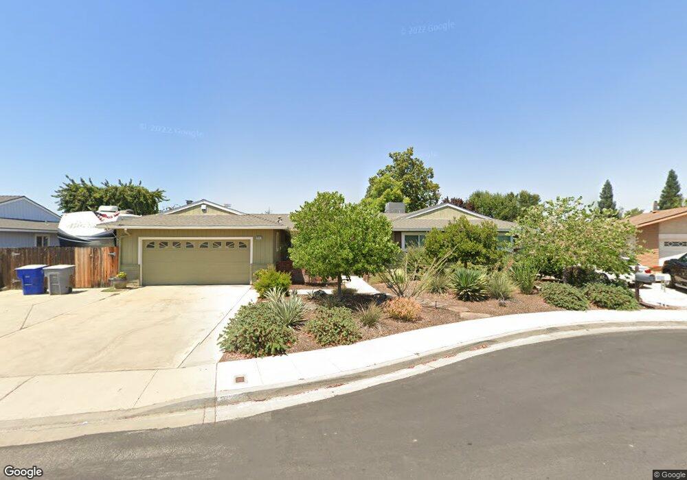
1987 Mitchell Ave Clovis, CA 93611
Estimated Value: $477,000 - $489,000
3
Beds
2
Baths
1,990
Sq Ft
$242/Sq Ft
Est. Value
About This Home
This home is located at 1987 Mitchell Ave, Clovis, CA 93611 and is currently estimated at $481,252, approximately $241 per square foot. 1987 Mitchell Ave is a home located in Fresno County with nearby schools including Clovis Elementary School, Clark Intermediate School, and Clovis High School.
Ownership History
Date
Name
Owned For
Owner Type
Purchase Details
Closed on
Oct 4, 2011
Sold by
Mattesich Raymond Joseph and Mattesich Kathleen Ellen
Bought by
Mattesich Ray and Mattesich Kathi
Current Estimated Value
Purchase Details
Closed on
Apr 4, 1994
Sold by
Hammonds Edward and Hammonds Echo Louise
Bought by
Mattesich Raymond Joseph and Mattesich Kathleen Ellen
Home Financials for this Owner
Home Financials are based on the most recent Mortgage that was taken out on this home.
Original Mortgage
$134,918
Interest Rate
8.1%
Mortgage Type
FHA
Create a Home Valuation Report for This Property
The Home Valuation Report is an in-depth analysis detailing your home's value as well as a comparison with similar homes in the area
Home Values in the Area
Average Home Value in this Area
Purchase History
| Date | Buyer | Sale Price | Title Company |
|---|---|---|---|
| Mattesich Ray | -- | None Available | |
| Mattesich Raymond Joseph | $137,000 | Fidelity National Title Ins |
Source: Public Records
Mortgage History
| Date | Status | Borrower | Loan Amount |
|---|---|---|---|
| Closed | Mattesich Raymond Joseph | $134,918 |
Source: Public Records
Tax History
| Year | Tax Paid | Tax Assessment Tax Assessment Total Assessment is a certain percentage of the fair market value that is determined by local assessors to be the total taxable value of land and additions on the property. | Land | Improvement |
|---|---|---|---|---|
| 2025 | $2,675 | $232,834 | $84,970 | $147,864 |
| 2023 | $2,571 | $223,794 | $81,671 | $142,123 |
| 2022 | $2,535 | $219,407 | $80,070 | $139,337 |
| 2021 | $2,462 | $215,105 | $78,500 | $136,605 |
| 2020 | $2,452 | $212,901 | $77,696 | $135,205 |
| 2019 | $2,403 | $208,727 | $76,173 | $132,554 |
| 2018 | $2,349 | $204,635 | $74,680 | $129,955 |
| 2017 | $2,308 | $200,623 | $73,216 | $127,407 |
| 2016 | $2,228 | $196,690 | $71,781 | $124,909 |
| 2015 | $2,193 | $193,736 | $70,703 | $123,033 |
| 2014 | $2,151 | $189,942 | $69,319 | $120,623 |
Source: Public Records
Map
Nearby Homes
- 1895 Dennis Ave
- 1876 Cougar Ln
- 1584 Laverne Ave
- 1334 Shirley Ave
- 1721 Beverly Ave
- 1273 Bundy Ave
- 2034 Wrenwood Ave
- 3497 Shaw Ave
- 937 Filbert Ave
- 860 Mcarthur Ave
- 1622 Dennis Ave
- 1606 Barstow Ave
- 2337 Wrenwood Ave
- 1946 Calimyrna Ave
- 2518 Keats Ave
- 1515 Keats Ave
- 865 McKelvy Ave
- 2549 Purvis Ave
- 1428 Miami Ave
- 2468 Laverne Ave
- 1967 Mitchell Ave
- 1954 Cougar Ln
- 1411 Burgan Ave
- 1980 Cougar Ln
- 1950 Cougar Ln
- 1976 Cougar Ln
- 1422 Burgan Ave
- 1431 Burgan Ave
- 1947 Mitchell Ave
- 1952 Cougar Ln
- 1946 Cougar Ln
- 1948 Cougar Ln
- 1946 Mitchell Ave
- 1392 Ash Ave
- 1978 Cougar Ln
- 1451 Burgan Ave
- 1942 Cougar Ln
- 1422 Ash Ave
- 1927 Mitchell Ave
- 1442 Burgan Ave
Your Personal Tour Guide
Ask me questions while you tour the home.