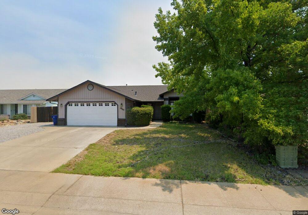
1989 Airstrip Rd Redding, CA 96003
North Shasta View NeighborhoodEstimated Value: $324,000 - $393,000
3
Beds
2
Baths
1,367
Sq Ft
$265/Sq Ft
Est. Value
About This Home
This home is located at 1989 Airstrip Rd, Redding, CA 96003 and is currently estimated at $362,566, approximately $265 per square foot. 1989 Airstrip Rd is a home located in Shasta County with nearby schools including Columbia Elementary School, Mountain View Middle School, and Foothill High School.
Ownership History
Date
Name
Owned For
Owner Type
Purchase Details
Closed on
Mar 17, 2000
Sold by
Lynn Foundation
Bought by
Connolly Jeffrey
Current Estimated Value
Home Financials for this Owner
Home Financials are based on the most recent Mortgage that was taken out on this home.
Original Mortgage
$79,000
Outstanding Balance
$27,063
Interest Rate
8.44%
Mortgage Type
Purchase Money Mortgage
Estimated Equity
$335,503
Create a Home Valuation Report for This Property
The Home Valuation Report is an in-depth analysis detailing your home's value as well as a comparison with similar homes in the area
Home Values in the Area
Average Home Value in this Area
Purchase History
| Date | Buyer | Sale Price | Title Company |
|---|---|---|---|
| Connolly Jeffrey | $120,000 | Chicago Title Co |
Source: Public Records
Mortgage History
| Date | Status | Borrower | Loan Amount |
|---|---|---|---|
| Open | Connolly Jeffrey | $79,000 |
Source: Public Records
Tax History
| Year | Tax Paid | Tax Assessment Tax Assessment Total Assessment is a certain percentage of the fair market value that is determined by local assessors to be the total taxable value of land and additions on the property. | Land | Improvement |
|---|---|---|---|---|
| 2025 | $1,883 | $184,412 | $38,413 | $145,999 |
| 2024 | $1,890 | $180,797 | $37,660 | $143,137 |
| 2023 | $1,890 | $177,253 | $36,922 | $140,331 |
| 2022 | $1,827 | $173,779 | $36,199 | $137,580 |
| 2021 | $1,813 | $170,373 | $35,490 | $134,883 |
| 2020 | $1,798 | $168,627 | $35,127 | $133,500 |
| 2019 | $1,756 | $165,322 | $34,439 | $130,883 |
| 2018 | $1,768 | $162,081 | $33,764 | $128,317 |
| 2017 | $1,788 | $158,903 | $33,102 | $125,801 |
| 2016 | $1,672 | $155,788 | $32,453 | $123,335 |
| 2015 | $1,646 | $153,449 | $31,966 | $121,483 |
| 2014 | $1,603 | $150,444 | $31,340 | $119,104 |
Source: Public Records
Map
Nearby Homes
- 1637 French Lace Ln
- 10033 Abernathy Ln
- 2571 Erin Ln
- 2093 Victor Ave
- 10162 Harley Leighton Rd
- 1090 Gibralter Rd
- 2295 Chelsa Cir
- 2912 Squire Ave
- 2728 Jasmine Way
- 10129 Harley Leighton Rd
- 2115 Hawn Ave
- 1877 Wheeler St
- 1939 Cameo Ct
- 1701 E Cypress Ave
- 965 Willow Brook Ln
- 1461 Oakdale Ln
- 3072 Alta Mesa Dr
- 3035 Argyle Rd
- 0 Shasta View Unit 25-1945
- 10587 Quail Hollow Dr
- 1993 Airstrip Rd
- 1985 Airstrip Rd
- 1981 Airstrip Rd
- 1997 Airstrip Rd
- 1974 Airstrip Rd
- 1975 Airstrip Rd
- 1968 Airstrip Rd
- 1962 Airstrip Rd
- 1984 Airstrip Rd
- 1969 Airstrip Rd
- 1956 Airstrip Rd
- 1997 Charade Way
- 1950 Airstrip Rd
- In1963 Airstrip Rd
- 1963 Airstrip Rd
- 1987 Charade Way
- 1981 Charade Way
- 1944 Airstrip Rd
- 1957 Airstrip Rd
- 1975 Charade Way
Your Personal Tour Guide
Ask me questions while you tour the home.