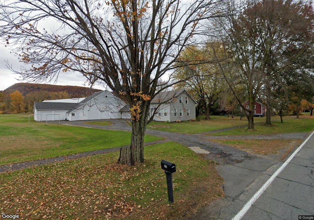
199 N Main St Sunderland, MA 01375
Estimated Value: $451,000 - $542,000
3
Beds
2
Baths
1,288
Sq Ft
$391/Sq Ft
Est. Value
About This Home
This home is located at 199 N Main St, Sunderland, MA 01375 and is currently estimated at $503,529, approximately $390 per square foot. 199 N Main St is a home located in Franklin County with nearby schools including Sunderland Elementary School and Frontier Regional School.
Create a Home Valuation Report for This Property
The Home Valuation Report is an in-depth analysis detailing your home's value as well as a comparison with similar homes in the area
Home Values in the Area
Average Home Value in this Area
Tax History Compared to Growth
Tax History
| Year | Tax Paid | Tax Assessment Tax Assessment Total Assessment is a certain percentage of the fair market value that is determined by local assessors to be the total taxable value of land and additions on the property. | Land | Improvement |
|---|---|---|---|---|
| 2025 | $61 | $470,800 | $171,600 | $299,200 |
| 2024 | $6,186 | $470,800 | $171,600 | $299,200 |
| 2023 | $5,655 | $441,800 | $156,000 | $285,800 |
| 2022 | $5,711 | $388,500 | $133,700 | $254,800 |
| 2021 | $5,406 | $349,000 | $123,900 | $225,100 |
| 2020 | $5,305 | $343,600 | $123,900 | $219,700 |
| 2019 | $5,126 | $334,400 | $120,300 | $214,100 |
| 2018 | $4,899 | $326,600 | $115,400 | $211,200 |
| 2017 | $4,619 | $322,100 | $115,400 | $206,700 |
| 2016 | $4,621 | $315,200 | $118,300 | $196,900 |
| 2015 | $4,511 | $315,200 | $118,300 | $196,900 |
| 2014 | $4,406 | $315,200 | $118,300 | $196,900 |
Source: Public Records
Map
Nearby Homes
- 238 N Main St
- 110 Old Amherst Rd
- Lot C Mountain Rd
- Lot A Mountain Rd
- Lot B Mountain Rd
- 15 Crestview Dr
- 146 Old Amherst Rd
- 40 Eastern Ave
- 134 Montague Rd
- 24 Graves St
- 7 Stage Rd
- 13 Capt Lathrop Dr
- 0 Pocumtuck Dr Unit 73379330
- 24 Elm St
- 208 Greenfield Rd
- 259 Long Plain Rd
- 15 S Plain Rd
- 32 Swamp Rd
- 345 Greenfield Rd
- 73 Depot Rd