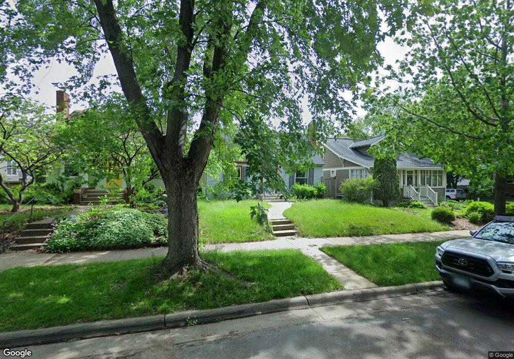
1992 Stanford Ave Saint Paul, MN 55105
Macalester-Groveland NeighborhoodEstimated Value: $385,607 - $398,000
3
Beds
1
Bath
1,577
Sq Ft
$249/Sq Ft
Est. Value
About This Home
This home is located at 1992 Stanford Ave, Saint Paul, MN 55105 and is currently estimated at $393,152, approximately $249 per square foot. 1992 Stanford Ave is a home located in Ramsey County with nearby schools including Groveland Park Elementary School, Hidden River Middle School, and Central Senior High School.
Ownership History
Date
Name
Owned For
Owner Type
Purchase Details
Closed on
Jul 9, 2020
Sold by
Ms Relocation Services Incorporated
Bought by
Ferrera Michael
Current Estimated Value
Home Financials for this Owner
Home Financials are based on the most recent Mortgage that was taken out on this home.
Original Mortgage
$303,610
Outstanding Balance
$242,188
Interest Rate
3.1%
Mortgage Type
New Conventional
Estimated Equity
$150,964
Purchase Details
Closed on
Jun 1, 2020
Home Financials for this Owner
Home Financials are based on the most recent Mortgage that was taken out on this home.
Original Mortgage
$303,610
Outstanding Balance
$242,188
Interest Rate
3.1%
Mortgage Type
New Conventional
Estimated Equity
$150,964
Purchase Details
Closed on
Dec 15, 1998
Sold by
Beltz Wilfred F
Bought by
Knutson Gail M
Purchase Details
Closed on
Jun 11, 1998
Sold by
Estate Of Florence S Lambie
Bought by
Beltz Wilfred F
Create a Home Valuation Report for This Property
The Home Valuation Report is an in-depth analysis detailing your home's value as well as a comparison with similar homes in the area
Home Values in the Area
Average Home Value in this Area
Purchase History
| Date | Buyer | Sale Price | Title Company |
|---|---|---|---|
| Ferrera Michael | $313,000 | Land Title Inc | |
| -- | $230,000 | -- | |
| Knutson Gail M | -- | -- | |
| Beltz Wilfred F | $83,000 | -- |
Source: Public Records
Mortgage History
| Date | Status | Borrower | Loan Amount |
|---|---|---|---|
| Open | Ferrera Michael | $303,610 | |
| Closed | -- | $172,500 | |
| Closed | -- | -- | |
| Closed | Knutson Gail M | -- |
Source: Public Records
Tax History Compared to Growth
Tax History
| Year | Tax Paid | Tax Assessment Tax Assessment Total Assessment is a certain percentage of the fair market value that is determined by local assessors to be the total taxable value of land and additions on the property. | Land | Improvement |
|---|---|---|---|---|
| 2025 | $5,144 | $357,800 | $134,600 | $223,200 |
| 2023 | $5,144 | $329,500 | $134,600 | $194,900 |
| 2022 | $4,728 | $350,500 | $134,600 | $215,900 |
| 2021 | $4,320 | $299,600 | $134,600 | $165,000 |
| 2020 | $4,620 | $285,300 | $134,600 | $150,700 |
| 2019 | $4,278 | $283,800 | $134,600 | $149,200 |
| 2018 | $4,048 | $261,600 | $134,600 | $127,000 |
| 2017 | $3,640 | $255,800 | $134,600 | $121,200 |
| 2016 | $3,630 | $0 | $0 | $0 |
| 2015 | $3,754 | $222,800 | $121,200 | $101,600 |
| 2014 | $3,484 | $0 | $0 | $0 |
Source: Public Records
Map
Nearby Homes
- 281 Cleveland Ave S
- 2129 Stanford Ave
- 188 Cleveland Ave S
- 2133 Berkeley Ave
- 1818 Juliet Ave
- 1926 Lincoln Ave
- 1797 James Ave
- 2114 Randolph Ave
- 2009 Grand Ave
- 2047 Grand Ave
- 313 Stonebridge Blvd
- 317 Stonebridge Blvd
- 475 Mount Curve Blvd
- 2056 Summit Ave
- 2250 Princeton Ave
- 191 Vernon St
- 2248 Goodrich Ave
- 1688 James Ave
- 590 Fairview Ave S
- 1917 Summit Ave Unit 2
- 1996 Stanford Ave
- 1988 Stanford Ave
- 1980 Stanford Ave
- 2000 Stanford Ave
- 1993 Wellesley Ave
- 1999 Wellesley Ave
- 1989 Wellesley Ave
- 1976 Stanford Ave
- 1985 Wellesley Ave
- 2004 Stanford Ave
- 1993 Stanford Ave
- 1981 Wellesley Ave
- 1989 Stanford Ave
- 1997 Stanford Ave
- 2003 Wellesley Ave
- 1972 Stanford Ave
- 1987 Stanford Ave
- 2010 Stanford Ave
- 1977 Wellesley Ave
- 1983 Stanford Ave