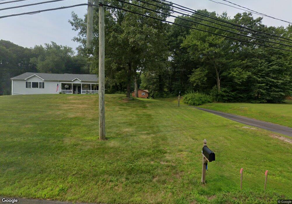
1996 Hebron Ave Glastonbury, CT 06033
East Glastonbury NeighborhoodEstimated Value: $421,000 - $460,382
3
Beds
2
Baths
1,317
Sq Ft
$337/Sq Ft
Est. Value
About This Home
This home is located at 1996 Hebron Ave, Glastonbury, CT 06033 and is currently estimated at $444,096, approximately $337 per square foot. 1996 Hebron Ave is a home located in Hartford County with nearby schools including Eastbury School, Gideon Welles School, and Smith Middle School.
Ownership History
Date
Name
Owned For
Owner Type
Purchase Details
Closed on
Oct 2, 2002
Sold by
Cochrane Kevin and Cochrane Susana N
Bought by
Shah Paras and Shah Himanshun
Current Estimated Value
Home Financials for this Owner
Home Financials are based on the most recent Mortgage that was taken out on this home.
Original Mortgage
$176,000
Interest Rate
6.27%
Create a Home Valuation Report for This Property
The Home Valuation Report is an in-depth analysis detailing your home's value as well as a comparison with similar homes in the area
Home Values in the Area
Average Home Value in this Area
Purchase History
| Date | Buyer | Sale Price | Title Company |
|---|---|---|---|
| Shah Paras | $220,000 | -- | |
| Shah Paras | $220,000 | -- |
Source: Public Records
Mortgage History
| Date | Status | Borrower | Loan Amount |
|---|---|---|---|
| Open | Shah Paras | $224,200 | |
| Closed | Shah Paras | $176,000 | |
| Previous Owner | Shah Paras | $143,000 |
Source: Public Records
Tax History Compared to Growth
Tax History
| Year | Tax Paid | Tax Assessment Tax Assessment Total Assessment is a certain percentage of the fair market value that is determined by local assessors to be the total taxable value of land and additions on the property. | Land | Improvement |
|---|---|---|---|---|
| 2025 | $6,753 | $205,700 | $91,000 | $114,700 |
| 2024 | $6,568 | $205,700 | $91,000 | $114,700 |
| 2023 | $6,379 | $205,700 | $91,000 | $114,700 |
| 2022 | $6,035 | $161,800 | $71,300 | $90,500 |
| 2021 | $6,038 | $161,800 | $71,300 | $90,500 |
| 2020 | $5,970 | $161,800 | $71,300 | $90,500 |
| 2019 | $5,883 | $161,800 | $71,300 | $90,500 |
| 2018 | $5,825 | $161,800 | $71,300 | $90,500 |
| 2017 | $5,977 | $159,600 | $75,300 | $84,300 |
| 2016 | $5,809 | $159,600 | $75,300 | $84,300 |
| 2015 | $5,762 | $159,600 | $75,300 | $84,300 |
| 2014 | $5,690 | $159,600 | $75,300 | $84,300 |
Source: Public Records
Map
Nearby Homes
- 0 Hebron Ave
- 36 Sand Hill Ln
- 49 Millstone Rd
- 509 Cedar Ridge Dr
- 160 Pond Cir
- 92 Ash Swamp Rd
- 60 Saddle Ridge Rd
- 1925 Manchester Rd
- 366 Woodhaven Rd
- 47 Brookview Dr
- 394 Woodhaven Rd
- 96 Crosby Rd
- 97 Crosby Rd
- 105 (Option A) Crosby Rd
- 105 (Option B) Crosby Rd
- 297 Wickham Rd
- 2085 Manchester Rd
- 282 Mountain Rd
- 2788 Hebron Ave
- 103 Forest Ln
- 1988 Chalker Hill
- 2006 Hebron Ave
- 2016 Hebron Ave
- 1982 Chalker Hill
- 1978 Chalker Hill
- 2060 Hebron Ave
- 1974 Chalker Hill
- 1968 Chalker Hill
- 94 Hurlburt St
- 1962 Chalker Hill
- 84 Hurlburt St
- 104 Hurlburt St
- 74 Hurlburt St
- 2066 Hebron Ave
- 464 Stanley Dr
- 1956 Chalker Hill
- 108 Hurlburt St
- 60 Hurlburt St
- 458 Stanley Dr
- 120 Hurlburt St