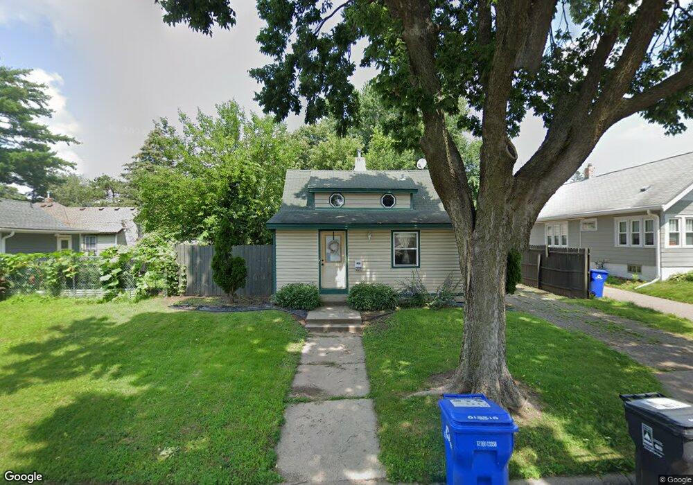
1999 Nokomis Ave Saint Paul, MN 55119
Beaver Lake Heights NeighborhoodEstimated Value: $199,000 - $241,485
3
Beds
1
Bath
827
Sq Ft
$267/Sq Ft
Est. Value
About This Home
This home is located at 1999 Nokomis Ave, Saint Paul, MN 55119 and is currently estimated at $220,871, approximately $267 per square foot. 1999 Nokomis Ave is a home located in Ramsey County with nearby schools including Hazel Park Preparatory Academy, Txuj Ci HMong Language and Culture Upper Campus, and Johnson Senior High School.
Ownership History
Date
Name
Owned For
Owner Type
Purchase Details
Closed on
Nov 18, 2022
Sold by
Mnsf T3 Spe Llc
Bought by
Bridge Sfr Iv Seed Borrower Llc
Current Estimated Value
Purchase Details
Closed on
Nov 17, 2015
Sold by
Mnsf Minneapolis 2 Llc
Bought by
Mnsf T3 Spe Llc
Purchase Details
Closed on
Aug 4, 2014
Sold by
Balderrama Maribel Hernandez and Duarte Ruben
Bought by
Mnsf Minneapolis 2 Llc
Purchase Details
Closed on
Nov 1, 1987
Sold by
Fuller Linda L
Bought by
Murphy John Gregory
Create a Home Valuation Report for This Property
The Home Valuation Report is an in-depth analysis detailing your home's value as well as a comparison with similar homes in the area
Home Values in the Area
Average Home Value in this Area
Purchase History
| Date | Buyer | Sale Price | Title Company |
|---|---|---|---|
| Bridge Sfr Iv Seed Borrower Llc | $500 | -- | |
| Mnsf T3 Spe Llc | -- | Avenue 365 Lender Services | |
| Mnsf Minneapolis 2 Llc | $111,787 | Bankers Title | |
| -- | $108,500 | -- | |
| Murphy John Gregory | $26,000 | -- |
Source: Public Records
Tax History Compared to Growth
Tax History
| Year | Tax Paid | Tax Assessment Tax Assessment Total Assessment is a certain percentage of the fair market value that is determined by local assessors to be the total taxable value of land and additions on the property. | Land | Improvement |
|---|---|---|---|---|
| 2025 | $4,024 | $231,700 | $30,000 | $201,700 |
| 2023 | $4,024 | $248,400 | $25,000 | $223,400 |
| 2022 | $3,288 | $239,100 | $25,000 | $214,100 |
| 2021 | $3,048 | $197,300 | $25,000 | $172,300 |
| 2020 | $2,786 | $178,300 | $15,800 | $162,500 |
| 2019 | $2,718 | $159,500 | $15,800 | $143,700 |
| 2018 | $2,586 | $155,800 | $15,800 | $140,000 |
| 2017 | $2,096 | $152,300 | $15,800 | $136,500 |
| 2016 | $2,208 | $0 | $0 | $0 |
| 2015 | $2,026 | $109,600 | $15,800 | $93,800 |
| 2014 | $2,076 | $0 | $0 | $0 |
Source: Public Records
Map
Nearby Homes
- 834 Iroquois Ave
- 2002 Nortonia Ave
- 2015 Bush Ave E
- 2037 Manitou Ave
- 2054 Nortonia Ave
- 1950 Case Ave E
- 2106 Stillwater Ave E
- 2160 Nokomis Ave
- 1803 Bush Ave E
- 1824 Sims Ave
- 2121 Minnehaha Ave E
- 2112 Minnehaha Ave E
- 2161 Ross Ave E
- 2175 Bush Ave E
- 1784 Sims Ave
- 1766 Ross Ave
- 1764 Bush Ave
- 2172 Reaney Ave E
- 1769 York Ave
- 1752 Stillwater Ave
- 824 Iroquois Ave
- 1985 Nokomis Ave
- 833 Algonquin Ave
- 829 Algonquin Ave
- 826 Iroquois Ave
- 2011 Nokomis Ave
- 828 Iroquois Ave
- 1990 Nokomis Ave
- 838 Iroquois Ave
- 2004 Nokomis Ave
- 1986 Nokomis Ave
- 829 Agonquin Ave
- 817 Iroquois Ave
- 817 817 Iroquois-Avenue-
- 2008 Nokomis Ave
- 1984 Nokomis Ave
- 825 825 Iroquois-Avenue-
- 823 Iroquois Ave
- 1978 Nokomis Ave
- 825 Iroquois Ave