19990 No Name Rd Corning, CA 96021
Estimated Value: $148,000 - $280,000
Studio
--
Bath
--
Sq Ft
872,071
Sq Ft Lot
About This Home
This home is located at 19990 No Name Rd, Corning, CA 96021 and is currently estimated at $200,840. 19990 No Name Rd is a home located in Tehama County with nearby schools including Woodson Elementary School, Maywood Middle School, and Corning High School.
Ownership History
Date
Name
Owned For
Owner Type
Purchase Details
Closed on
Dec 9, 2024
Sold by
Starke David E
Bought by
Torres Carlos O
Current Estimated Value
Purchase Details
Closed on
Nov 17, 2023
Sold by
Tehama County Treasurer-Tax Collector
Bought by
Rancho Carpeta and Starke David E
Purchase Details
Closed on
Aug 25, 2013
Sold by
Souza Alfred and Souza Yuri
Bought by
Rancho Carpeta Trust
Purchase Details
Closed on
May 2, 2011
Sold by
Johnston Hank
Bought by
Souza Alfred and Souza Yuri
Purchase Details
Closed on
Aug 21, 2002
Sold by
Johnston Hank
Bought by
Johnston Hank and Heyrend Petty Annetta
Create a Home Valuation Report for This Property
The Home Valuation Report is an in-depth analysis detailing your home's value as well as a comparison with similar homes in the area
Purchase History
| Date | Buyer | Sale Price | Title Company |
|---|---|---|---|
| Torres Carlos O | -- | None Listed On Document | |
| Rancho Carpeta | $15,000 | None Listed On Document | |
| Rancho Carpeta Trust | $1,000 | None Available | |
| Souza Alfred | $23,000 | Placer Title Company | |
| Johnston Hank | -- | -- |
Source: Public Records
Tax History
| Year | Tax Paid | Tax Assessment Tax Assessment Total Assessment is a certain percentage of the fair market value that is determined by local assessors to be the total taxable value of land and additions on the property. | Land | Improvement |
|---|---|---|---|---|
| 2025 | $921 | $100,000 | $70,000 | $30,000 |
| 2023 | $485 | $42,466 | $23,560 | $18,906 |
| 2022 | $477 | $41,635 | $23,099 | $18,536 |
| 2021 | $454 | $40,820 | $22,647 | $18,173 |
| 2020 | $457 | $40,402 | $22,415 | $17,987 |
| 2019 | $440 | $39,611 | $21,976 | $17,635 |
| 2018 | $440 | $38,836 | $21,546 | $17,290 |
| 2017 | $133,229 | $38,075 | $21,124 | $16,951 |
| 2016 | $408 | $37,329 | $20,710 | $16,619 |
| 2015 | $405 | $36,769 | $20,399 | $16,370 |
| 2014 | $397 | $36,050 | $20,000 | $16,050 |
Source: Public Records
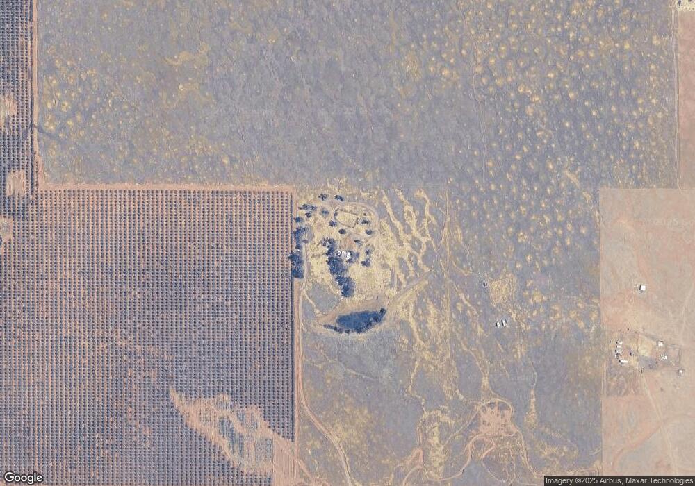
Map
Nearby Homes
- 0 Canal View Rd Unit 20260053
- 19360 Simpson Rd
- 6315 Rawson Rd
- 0 087-250-008-000 Unit SN25269116
- 20490 Corning Rd
- 20506 Corning Rd
- 21550 Leaf Ave
- 5193 Luning Ave
- 0 Corning Rd Unit 19912765
- 16173 Nugget Rd
- 5475 Rachelle Way
- 7795 Rawson Rd
- 22085 Finnell Ave
- 22148 Finnell Ave
- 0 Finnell Ave Unit SN25215569
- 00 Finnell Ave
- 17590 Rancho Tehama Rd
- 0 Edith Ave Unit SN25161187
- 22506 Dove Ave
- 7486 Rodger Rd
- Lot #18 No Name Rd
- 20215 No Name Rd
- 19825 Canal View Rd
- 20129 Canal View Rd
- 0 Canal View Dr Unit 20180288
- 0 Canal View Unit CH11135356
- 004 Canal View Dr
- 0 Canal View Rd Unit CH13231087
- 0 Canal View Rd Unit CH13231082
- 0 Canal View Rd Unit OC14170575
- 0 Canal View Rd Unit OC14170581
- 00 Canal View Dr
- 000 Canal View Dr
- 0 Canal View Rd Unit 20220721
- 0 Canal View Rd Unit 222127616
- 0 Canal View Dr Unit SN22160962
- 0 Canal View Dr Unit 20220407
- 0 Canal View Rd Unit 222024599
- 0 Canal View Unit SN21208240
- 0 Canal View Rd Unit SN21123287
Your Personal Tour Guide
Ask me questions while you tour the home.