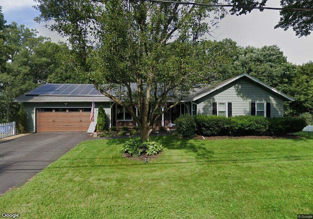
2 Brookfield Rd Methuen, MA 01844
The East End NeighborhoodEstimated Value: $701,090 - $854,000
4
Beds
3
Baths
2,873
Sq Ft
$267/Sq Ft
Est. Value
About This Home
This home is located at 2 Brookfield Rd, Methuen, MA 01844 and is currently estimated at $766,523, approximately $266 per square foot. 2 Brookfield Rd is a home located in Essex County with nearby schools including Timony Grammar School, Methuen High School, and Saint Monica School.
Ownership History
Date
Name
Owned For
Owner Type
Purchase Details
Closed on
Apr 5, 2021
Sold by
Sullivan Paula J
Bought by
Sullivan Christopher T and Sullivan Jennifer M
Current Estimated Value
Purchase Details
Closed on
Jun 18, 2004
Sold by
Lee Linda A and Lee Thomas A
Bought by
Sullivan Paula J and Sullivan Ronald F
Purchase Details
Closed on
May 27, 1998
Sold by
Lemoine James N
Bought by
Mcdonald Linda A
Create a Home Valuation Report for This Property
The Home Valuation Report is an in-depth analysis detailing your home's value as well as a comparison with similar homes in the area
Home Values in the Area
Average Home Value in this Area
Purchase History
| Date | Buyer | Sale Price | Title Company |
|---|---|---|---|
| Sullivan Christopher T | -- | None Available | |
| Sullivan Paula J | $375,000 | -- | |
| Mcdonald Linda A | $187,000 | -- |
Source: Public Records
Mortgage History
| Date | Status | Borrower | Loan Amount |
|---|---|---|---|
| Previous Owner | Mcdonald Linda A | $174,550 | |
| Previous Owner | Mcdonald Linda A | $190,000 | |
| Previous Owner | Mcdonald Linda A | $35,000 |
Source: Public Records
Tax History
| Year | Tax Paid | Tax Assessment Tax Assessment Total Assessment is a certain percentage of the fair market value that is determined by local assessors to be the total taxable value of land and additions on the property. | Land | Improvement |
|---|---|---|---|---|
| 2025 | $6,028 | $569,800 | $231,000 | $338,800 |
| 2024 | $6,004 | $552,900 | $210,700 | $342,200 |
| 2023 | $5,700 | $487,200 | $187,300 | $299,900 |
| 2022 | $5,499 | $421,400 | $156,100 | $265,300 |
| 2021 | $5,173 | $392,200 | $148,300 | $243,900 |
| 2020 | $5,160 | $383,900 | $148,300 | $235,600 |
| 2019 | $4,914 | $346,300 | $132,700 | $213,600 |
| 2018 | $4,805 | $336,700 | $132,700 | $204,000 |
| 2017 | $4,660 | $318,100 | $132,700 | $185,400 |
| 2016 | $4,470 | $301,800 | $124,900 | $176,900 |
| 2015 | $4,269 | $292,400 | $124,900 | $167,500 |
Source: Public Records
Map
Nearby Homes
- 16 Hancock Cir
- 1 Brookfield Rd
- 6 Brookfield Rd
- 12 Hancock Cir
- 162 Pleasant St
- 2 Stadium Rd
- 1 Royal Dr
- 5 Brookfield Rd
- 20 Hancock Cir
- 8 Hancock Cir
- 166 Pleasant St
- 10 Brookfield Rd
- 168 Pleasant St
- 0 Brookfield Rd
- 5 Royal Dr
- 4 Hancock Cir
- 11 Brookfield Rd
- 150 Pleasant St
- 150 Pleasant St
- 172 Pleasant St
Your Personal Tour Guide
Ask me questions while you tour the home.