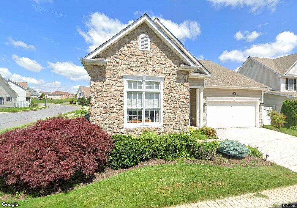
2 Derr Ln Middletown, MD 21769
Estimated Value: $562,906 - $653,000
Studio
3
Baths
2,279
Sq Ft
$261/Sq Ft
Est. Value
About This Home
This home is located at 2 Derr Ln, Middletown, MD 21769 and is currently estimated at $594,227, approximately $260 per square foot. 2 Derr Ln is a home located in Frederick County with nearby schools including Middletown Elementary School, Middletown Middle School, and Middletown High School.
Ownership History
Date
Name
Owned For
Owner Type
Purchase Details
Closed on
Jan 6, 2005
Sold by
Coblentz Farm Ltd Part
Bought by
Storm Carolyn E
Current Estimated Value
Home Financials for this Owner
Home Financials are based on the most recent Mortgage that was taken out on this home.
Original Mortgage
$60,000
Interest Rate
5.73%
Mortgage Type
Credit Line Revolving
Purchase Details
Closed on
Dec 16, 2004
Sold by
Coblentz Farm Ltd Part
Bought by
Storm Carolyn E
Home Financials for this Owner
Home Financials are based on the most recent Mortgage that was taken out on this home.
Original Mortgage
$60,000
Interest Rate
5.73%
Mortgage Type
Credit Line Revolving
Create a Home Valuation Report for This Property
The Home Valuation Report is an in-depth analysis detailing your home's value as well as a comparison with similar homes in the area
Home Values in the Area
Average Home Value in this Area
Purchase History
| Date | Buyer | Sale Price | Title Company |
|---|---|---|---|
| Storm Carolyn E | $354,063 | -- | |
| Storm Carolyn E | $354,063 | -- |
Source: Public Records
Mortgage History
| Date | Status | Borrower | Loan Amount |
|---|---|---|---|
| Closed | Storm Carolyn E | $60,000 | |
| Closed | Storm Carolyn E | $60,000 |
Source: Public Records
Tax History Compared to Growth
Tax History
| Year | Tax Paid | Tax Assessment Tax Assessment Total Assessment is a certain percentage of the fair market value that is determined by local assessors to be the total taxable value of land and additions on the property. | Land | Improvement |
|---|---|---|---|---|
| 2025 | $5,995 | $496,167 | -- | -- |
| 2024 | $5,995 | $442,933 | $0 | $0 |
| 2023 | $5,500 | $389,700 | $95,000 | $294,700 |
| 2022 | $5,394 | $382,067 | $0 | $0 |
| 2021 | $5,182 | $374,433 | $0 | $0 |
| 2020 | $5,182 | $366,800 | $89,000 | $277,800 |
| 2019 | $5,140 | $363,800 | $0 | $0 |
| 2018 | $5,154 | $360,800 | $0 | $0 |
| 2017 | $5,057 | $357,800 | $0 | $0 |
| 2016 | $4,542 | $343,233 | $0 | $0 |
| 2015 | $4,542 | $328,667 | $0 | $0 |
| 2014 | $4,542 | $314,100 | $0 | $0 |
Source: Public Records
Map
Nearby Homes
- 1 Keller Ln
- 204 Rod Cir
- 706 E Main St
- 100 Lombardy Dr
- 7705 Ridge Rd
- 114 E Main St
- 7129 Limestone Ln
- 215 Broad St
- 7442 Dogwood Ln
- 7109 Emerald Ct
- 25 Chester Ct
- 8511 Rosebud Ct
- 417 W Main St
- 8935 Hawbottom Rd
- 7230 Edgemont Rd
- 6933A Potomac Ave
- 3226 Bidle Rd
- 7125 Edgemont Rd
- 7023 Edgemont Rd
- 8109 Old Hagerstown Rd