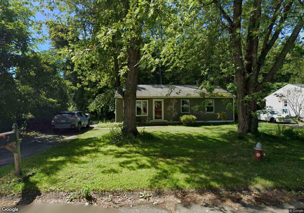
2 Matthew Dr Florence, MA 01062
Florence NeighborhoodEstimated Value: $327,000 - $348,000
3
Beds
1
Bath
960
Sq Ft
$354/Sq Ft
Est. Value
About This Home
This home is located at 2 Matthew Dr, Florence, MA 01062 and is currently estimated at $339,825, approximately $353 per square foot. 2 Matthew Dr is a home located in Hampshire County with nearby schools including Northampton High School, Hilltown Cooperative Charter Public School, and The Montessori School of Northampton.
Ownership History
Date
Name
Owned For
Owner Type
Purchase Details
Closed on
Jun 28, 2021
Sold by
Loehn Susan J
Bought by
Loehn Shalane and Winocur John
Current Estimated Value
Purchase Details
Closed on
Jan 23, 2014
Sold by
Johnson-Maclam Cindy and Johson-Kabat Debra
Bought by
Loehn Susan J
Home Financials for this Owner
Home Financials are based on the most recent Mortgage that was taken out on this home.
Original Mortgage
$140,800
Interest Rate
4.4%
Mortgage Type
New Conventional
Purchase Details
Closed on
May 4, 2007
Sold by
Johnson Joan I
Bought by
Johnson-Maclam Cindy and Johnson-Kabat Debra
Create a Home Valuation Report for This Property
The Home Valuation Report is an in-depth analysis detailing your home's value as well as a comparison with similar homes in the area
Home Values in the Area
Average Home Value in this Area
Purchase History
| Date | Buyer | Sale Price | Title Company |
|---|---|---|---|
| Loehn Shalane | $135,000 | None Available | |
| Loehn Susan J | $140,800 | -- | |
| Johnson-Maclam Cindy | -- | -- |
Source: Public Records
Mortgage History
| Date | Status | Borrower | Loan Amount |
|---|---|---|---|
| Previous Owner | Loehn Susan J | $140,800 |
Source: Public Records
Tax History
| Year | Tax Paid | Tax Assessment Tax Assessment Total Assessment is a certain percentage of the fair market value that is determined by local assessors to be the total taxable value of land and additions on the property. | Land | Improvement |
|---|---|---|---|---|
| 2025 | $4,254 | $305,400 | $129,200 | $176,200 |
| 2024 | $4,250 | $279,800 | $129,200 | $150,600 |
| 2023 | $4,225 | $266,700 | $117,400 | $149,300 |
| 2022 | $4,265 | $238,400 | $109,800 | $128,600 |
| 2021 | $3,644 | $209,800 | $104,400 | $105,400 |
| 2020 | $3,525 | $209,800 | $104,400 | $105,400 |
| 2019 | $3,359 | $193,400 | $92,300 | $101,100 |
| 2018 | $3,272 | $192,000 | $92,300 | $99,700 |
| 2017 | $3,204 | $192,000 | $92,300 | $99,700 |
| 2016 | $3,103 | $192,000 | $92,300 | $99,700 |
| 2015 | $2,789 | $176,500 | $75,000 | $101,500 |
| 2014 | $2,716 | $176,500 | $75,000 | $101,500 |
Source: Public Records
Map
Nearby Homes
- 723 Lot B Ryan Rd
- 296 Ryan Rd Unit A
- 296 Ryan Rd
- 296 Ryan Rd Unit B
- 815 Burts Pit Rd
- 42 Clark St
- 635 Florence Rd
- 697 Florence Rd
- 404 Sylvester Rd
- 20-11 Sylvester Rd
- 37 Landy Ave
- 67 Park St Unit A
- 76 Maple St
- 0 W Farms Rd
- 832 Westhampton Rd
- 892 Westhampton Rd
- 967 Florence Rd
- 44 Sheffield Ln
- 2 Juniper Place
- 296 Old Wilson Rd
Your Personal Tour Guide
Ask me questions while you tour the home.