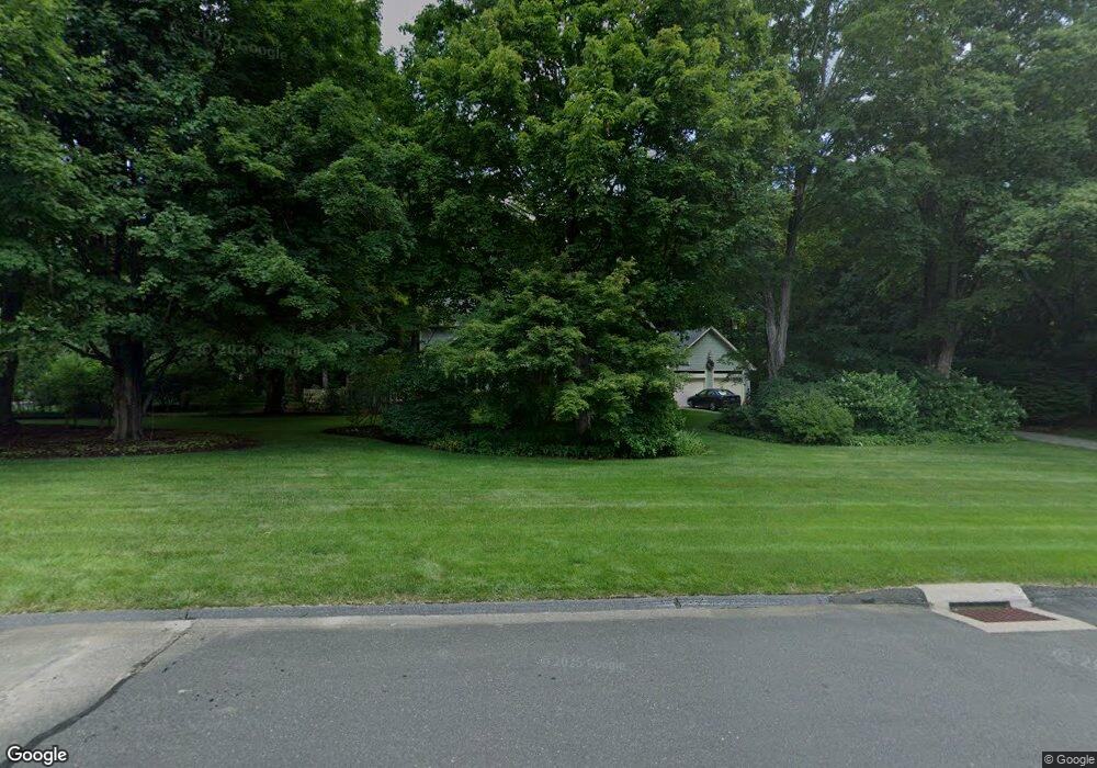
2 Nilas Way Simsbury, CT 06070
Estimated Value: $688,249 - $800,000
4
Beds
4
Baths
2,671
Sq Ft
$283/Sq Ft
Est. Value
About This Home
This home is located at 2 Nilas Way, Simsbury, CT 06070 and is currently estimated at $754,562, approximately $282 per square foot. 2 Nilas Way is a home located in Hartford County with nearby schools including Tootin' Hills School, Henry James Memorial School, and Simsbury High School.
Ownership History
Date
Name
Owned For
Owner Type
Purchase Details
Closed on
Jun 25, 1992
Sold by
Forte Robert and Forte Bonnie
Bought by
Schmidt Steven and Schmidt Adriana
Current Estimated Value
Purchase Details
Closed on
Aug 2, 1989
Sold by
Gajewski Richard
Bought by
Forte Robert
Create a Home Valuation Report for This Property
The Home Valuation Report is an in-depth analysis detailing your home's value as well as a comparison with similar homes in the area
Home Values in the Area
Average Home Value in this Area
Purchase History
| Date | Buyer | Sale Price | Title Company |
|---|---|---|---|
| Schmidt Steven | $322,000 | -- | |
| Forte Robert | $360,000 | -- |
Source: Public Records
Mortgage History
| Date | Status | Borrower | Loan Amount |
|---|---|---|---|
| Closed | Forte Robert | $10,000 | |
| Closed | Forte Robert | $224,000 | |
| Closed | Forte Robert | $230,000 |
Source: Public Records
Tax History Compared to Growth
Tax History
| Year | Tax Paid | Tax Assessment Tax Assessment Total Assessment is a certain percentage of the fair market value that is determined by local assessors to be the total taxable value of land and additions on the property. | Land | Improvement |
|---|---|---|---|---|
| 2025 | $11,743 | $343,770 | $92,400 | $251,370 |
| 2024 | $11,451 | $343,770 | $92,400 | $251,370 |
| 2023 | $10,939 | $343,770 | $92,400 | $251,370 |
| 2022 | $10,887 | $281,830 | $99,400 | $182,430 |
| 2021 | $10,887 | $281,830 | $99,400 | $182,430 |
| 2020 | $10,453 | $281,830 | $99,400 | $182,430 |
| 2019 | $10,518 | $281,830 | $99,400 | $182,430 |
| 2018 | $10,594 | $281,830 | $99,400 | $182,430 |
| 2017 | $10,568 | $272,640 | $97,020 | $175,620 |
| 2016 | $10,120 | $272,640 | $97,020 | $175,620 |
| 2015 | $10,120 | $272,640 | $97,020 | $175,620 |
| 2014 | $10,126 | $272,640 | $97,020 | $175,620 |
Source: Public Records
Map
Nearby Homes
- 395 Bushy Hill Rd
- 301 Bushy Hill Rd
- 24 Drumlin Rd
- 302 Bushy Hill Rd
- 8 Crane Place
- 51 Pine Glen Rd
- 1 Alcima Dr
- 370A W Mountain Rd
- 19 Glenbrook Dr
- 14 Nod Brook Dr
- 3 Minister Brook Dr
- 4 Adams Rd
- 26 Red Stone Dr
- 25 Tall Wood Hollow
- 36 Blue Ridge Dr
- 120 Climax Rd
- 10 Sachems Trail
- 121 Gracey Rd
- 41 Applegate Ln
- 3 Applegate Ln Unit 3
- 4 Nilas Way
- 361 Bushy Hill Rd
- 359 Bushy Hill Rd
- 3 Nilas Way
- 35 August Rd
- 380 Bushy Hill Rd
- 376 Bushy Hill Rd
- 6 Nilas Way
- 372 Bushy Hill Rd
- 27 Canton Rd
- 33 August Rd
- 382 Bushy Hill Rd
- 368 Bushy Hill Rd
- 357 Bushy Hill Rd
- 5 Nilas Way
- 36 August Rd
- 4 Old Meadow Plain Rd
- 34 August Rd
- 31 August Rd
- 25 Canton Rd