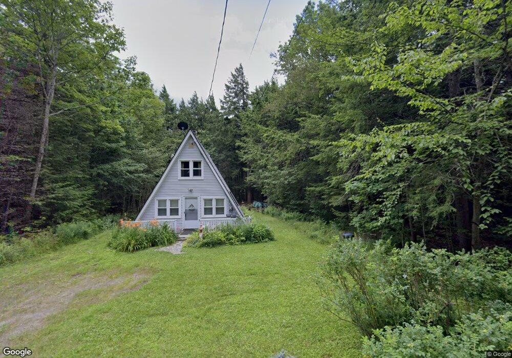
2 Papoose Lake Rd Heath, MA 01346
Heath NeighborhoodEstimated Value: $97,000 - $221,000
2
Beds
1
Bath
788
Sq Ft
$203/Sq Ft
Est. Value
About This Home
This home is located at 2 Papoose Lake Rd, Heath, MA 01346 and is currently estimated at $160,060, approximately $203 per square foot. 2 Papoose Lake Rd is a home with nearby schools including Mohawk Trail Regional High School.
Ownership History
Date
Name
Owned For
Owner Type
Purchase Details
Closed on
Jan 19, 2007
Sold by
Bedard Bruce E
Bought by
Angell James E and Roberts Marion F
Current Estimated Value
Purchase Details
Closed on
Jul 20, 2000
Sold by
Mccloud Edward S and Mccloud Nancy
Bought by
Bedard Bruce E
Home Financials for this Owner
Home Financials are based on the most recent Mortgage that was taken out on this home.
Original Mortgage
$51,000
Interest Rate
8.28%
Mortgage Type
Purchase Money Mortgage
Create a Home Valuation Report for This Property
The Home Valuation Report is an in-depth analysis detailing your home's value as well as a comparison with similar homes in the area
Home Values in the Area
Average Home Value in this Area
Purchase History
| Date | Buyer | Sale Price | Title Company |
|---|---|---|---|
| Angell James E | $105,500 | -- | |
| Bedard Bruce E | $55,000 | -- |
Source: Public Records
Mortgage History
| Date | Status | Borrower | Loan Amount |
|---|---|---|---|
| Previous Owner | Bedard Bruce E | $9,000 | |
| Previous Owner | Bedard Bruce E | $51,000 |
Source: Public Records
Tax History
| Year | Tax Paid | Tax Assessment Tax Assessment Total Assessment is a certain percentage of the fair market value that is determined by local assessors to be the total taxable value of land and additions on the property. | Land | Improvement |
|---|---|---|---|---|
| 2025 | $1,356 | $72,100 | $21,300 | $50,800 |
| 2024 | $1,455 | $71,200 | $21,300 | $49,900 |
| 2023 | $1,524 | $66,600 | $21,300 | $45,300 |
| 2022 | $1,439 | $66,900 | $21,300 | $45,600 |
| 2021 | $1,513 | $67,200 | $21,300 | $45,900 |
| 2020 | $1,502 | $67,500 | $21,300 | $46,200 |
| 2019 | $1,594 | $73,800 | $27,000 | $46,800 |
| 2018 | $1,610 | $73,800 | $27,000 | $46,800 |
| 2017 | $1,509 | $71,900 | $27,000 | $44,900 |
| 2016 | $1,481 | $72,200 | $27,000 | $45,200 |
| 2015 | $1,445 | $72,400 | $27,000 | $45,400 |
Source: Public Records
Map
Nearby Homes
- 3 Flagg Hill Rd
- 23 E Brook Dr
- 8 Deer Run Path
- 14 South Rd
- 0 W Oxbow Rd Unit 73453651
- 0 W Oxbow Rd Unit 248444
- 594 Massachusetts 8a
- 24 W Oxbow Rd
- Lot 121 Davis Mine Rd
- 1451 Massachusetts 2
- 1451 Route 2 E
- 2155 Massachusetts 2
- 2151 Route 2
- 251 Phillips Hill Rd
- 442 Mcmillan Rd
- 168 Main St
- 829 Pennel Hill Rd
- 1192 Chapel Hill Rd
- 2173 Vermont 8a
- 0 Warfield Rd
- 50 Papoose Lake Dr
- 54 Papoose Lake Dr
- 42 Papoose Lake Dr
- 62 Papoose Lake Dr
- 62 & 66 Papoose Lake Dr
- 17 Papoose Lake Dr
- 33 Papoose Lake Dr
- 1 Papoose Lake Rd
- 1 Papoose Lake Dr
- 43 Swamp Rd
- 22 Swamp Rd
- 14 Papoose Lake Dr
- 15 Swamp Rd
- 16 Swamp Rd
- 0 Swamp Rd Unit 30718664
- 42 Papoose Lake Dr
- 6 Chippewa Dr
- 148 Taylor Brook Rd
- 44 Swamp Rd
- 43 Swamp Rd
Your Personal Tour Guide
Ask me questions while you tour the home.