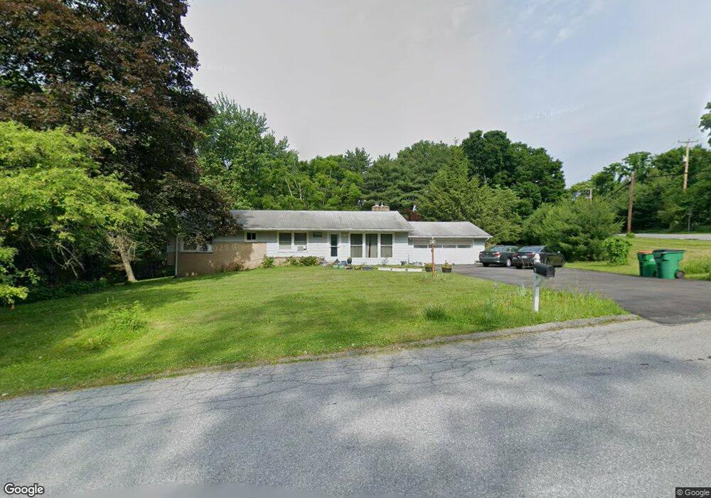
2 Pine Ridge Rd Poughkeepsie, NY 12603
Estimated Value: $490,000 - $518,000
3
Beds
3
Baths
1,528
Sq Ft
$333/Sq Ft
Est. Value
About This Home
This home is located at 2 Pine Ridge Rd, Poughkeepsie, NY 12603 and is currently estimated at $508,448, approximately $332 per square foot. 2 Pine Ridge Rd is a home located in Dutchess County with nearby schools including Arlington High School, Hawk Meadow Montessori School, and Oakwood Friends School.
Ownership History
Date
Name
Owned For
Owner Type
Purchase Details
Closed on
Jan 24, 2006
Sold by
Newman Thomas
Bought by
Sozzi Brigid Fraher
Current Estimated Value
Home Financials for this Owner
Home Financials are based on the most recent Mortgage that was taken out on this home.
Original Mortgage
$21,000
Interest Rate
6.34%
Mortgage Type
Purchase Money Mortgage
Purchase Details
Closed on
Mar 11, 2005
Sold by
Exe
Bought by
Newman Thomas M Deborah A
Create a Home Valuation Report for This Property
The Home Valuation Report is an in-depth analysis detailing your home's value as well as a comparison with similar homes in the area
Home Values in the Area
Average Home Value in this Area
Purchase History
| Date | Buyer | Sale Price | Title Company |
|---|---|---|---|
| Sozzi Brigid Fraher | $355,000 | -- | |
| Newman Thomas M Deborah A | $330,000 | Benjamin Roosa |
Source: Public Records
Mortgage History
| Date | Status | Borrower | Loan Amount |
|---|---|---|---|
| Closed | Sozzi Brigid Fraher | $21,000 |
Source: Public Records
Tax History
| Year | Tax Paid | Tax Assessment Tax Assessment Total Assessment is a certain percentage of the fair market value that is determined by local assessors to be the total taxable value of land and additions on the property. | Land | Improvement |
|---|---|---|---|---|
| 2024 | $9,422 | $264,700 | $75,600 | $189,100 |
| 2023 | $11,653 | $264,700 | $75,600 | $189,100 |
| 2019 | $8,255 | $264,700 | $75,600 | $189,100 |
Source: Public Records
Map
Nearby Homes
- 671 Noxon Rd
- 83 Smith Rd
- 3 Lewis Rd
- 102 Simone Dr
- 3 Mark Vincent Dr
- 19 Rose Ln
- 20 Hillview Dr
- 107 Robinson Ln
- 24 Abu Mousa Dr
- 3 Davis Rd
- 20 Nesheiwat Dr
- 5 Larch Ct
- 1035 Noxon Rd
- 321 Titusville Rd - 128
- 13 Bray Farm Ln
- 0 Freedom Plains Rd Unit KEYH6306348
- 322 Noxon Rd
- 392 Titusville Rd
- 5 Chestnut Ridge Rd
- 129 Stringham Rd Unit 26
- 4 Pine Ridge Rd
- 664 Noxon Rd
- 26 Old Noxon Rd Unit 28
- 28 Old Noxon Rd
- 3 Pine Ridge Rd
- 6 Pine Ridge Rd
- 662 Noxon Rd
- 5 Pine Ridge Rd
- 661 Noxon Rd Unit 663
- 21 Old Noxon Rd
- 10 Debra Hill Dr
- 7 Pine Ridge Rd
- 8 Pine Ridge Rd
- 653 Noxon Rd
- 9 Debra Hill Dr
- 1 Forrest Way
- 9 Debra Hill Rd
- 708 Noxon Rd
- 9 Pine Ridge Rd
- 2 High Point Dr
Your Personal Tour Guide
Ask me questions while you tour the home.