2 Sand Beach Rd Whiting, ME 04691
Estimated Value: $324,000 - $913,000
Studio
--
Bath
--
Sq Ft
2.51
Acres
About This Home
This home is located at 2 Sand Beach Rd, Whiting, ME 04691 and is currently estimated at $514,374. 2 Sand Beach Rd is a home with nearby schools including Whiting Village School.
Ownership History
Date
Name
Owned For
Owner Type
Purchase Details
Closed on
May 14, 2024
Sold by
Stern Linda K
Bought by
Smith James and Smith Ellen J
Current Estimated Value
Home Financials for this Owner
Home Financials are based on the most recent Mortgage that was taken out on this home.
Original Mortgage
$253,000
Outstanding Balance
$248,195
Interest Rate
6.79%
Mortgage Type
Stand Alone Refi Refinance Of Original Loan
Estimated Equity
$266,179
Purchase Details
Closed on
Aug 8, 2013
Sold by
Stern Linda K and Potter Bonnie W
Bought by
Stern Linda K and Potter Bonnie W
Create a Home Valuation Report for This Property
The Home Valuation Report is an in-depth analysis detailing your home's value as well as a comparison with similar homes in the area
Purchase History
| Date | Buyer | Sale Price | Title Company |
|---|---|---|---|
| Smith James | -- | None Available | |
| Smith James | -- | None Available | |
| Stern Linda K | -- | -- | |
| Stern Linda K | -- | -- | |
| Stern Linda K | -- | -- |
Source: Public Records
Mortgage History
| Date | Status | Borrower | Loan Amount |
|---|---|---|---|
| Open | Smith James | $253,000 | |
| Closed | Smith James | $253,000 |
Source: Public Records
Tax History
| Year | Tax Paid | Tax Assessment Tax Assessment Total Assessment is a certain percentage of the fair market value that is determined by local assessors to be the total taxable value of land and additions on the property. | Land | Improvement |
|---|---|---|---|---|
| 2023 | $4,945 | $345,800 | $95,700 | $250,100 |
| 2022 | $4,495 | $345,800 | $95,700 | $250,100 |
| 2021 | $4,461 | $345,800 | $95,700 | $250,100 |
| 2020 | $4,634 | $345,800 | $95,700 | $250,100 |
| 2019 | $4,634 | $345,800 | $95,700 | $250,100 |
| 2018 | $4,547 | $345,800 | $95,700 | $250,100 |
| 2017 | $4,495 | $345,800 | $95,700 | $250,100 |
| 2011 | $3,969 | $372,700 | $106,300 | $266,400 |
Source: Public Records
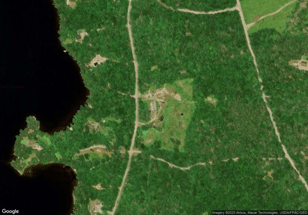
Map
Nearby Homes
- Lot 23 Lucas Ln
- Lot 25 Lucas Ln
- Lot 26 Lucas Ln
- 15-2 Carson Ln
- 67 Gaddis Rd
- 32 Dinsmore Ln
- 409 Chases Mill Rd
- 346 Main St
- 16 Douglas St
- 9 Cutler Rd
- 36 Cutler Rd
- 191 Route 191 N
- 285 & 291 Cutler Rd
- 6-1 Hadley Lake Rd
- 550 Hadley Lake Rd
- 9 Tupper Ln
- Lot 19-13D Halls Mills Rd
- M19 L13-C Halls Mills Rd
- Lot 4 Holmes Bay Farm
- Lot 2 Holmes Bay Farm
- 5 E Shore Rd Extension
- 8 Sand Beach Rd
- 10 Sand Beach Rd
- 6 Sand Beach Rd
- 11 E Shore Rd Extension
- 13 E Shore Rd Extension
- 16 Sand Beach Rd
- 12 Sand Beach Rd
- 18 Sand Beach Rd
- Lot 14 E Dragon Rock Ln
- Lot 14E Dragon Rock Ln
- Lot 14W Dragon Rock Ln
- Lot 13 Dragon Rock Ln
- 596 Gardner Lake Rd
- 29 E Shore Rd Extension
- 29 E Shore Rd Extension
- 23 E Shore Rd Extension
- 1 E Shore Rd Extension
- 17 E Shore Rd Extension
- 27 E Shore Rd Extension
Your Personal Tour Guide
Ask me questions while you tour the home.