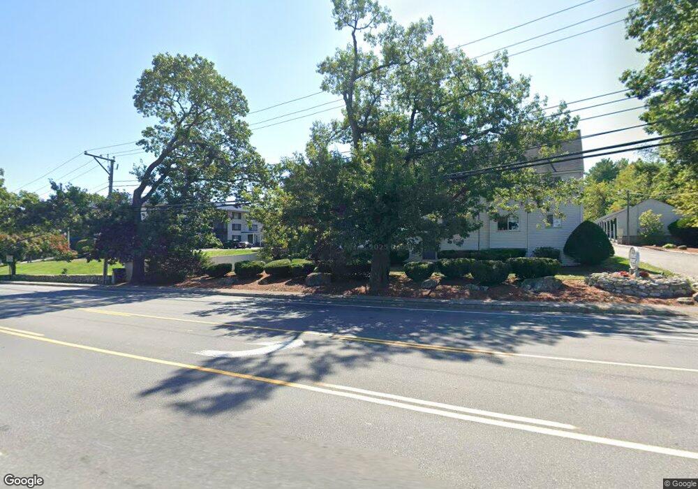
2 Ternbury Square Unit B4 Nashua, NH 03060
Southeast Nashua NeighborhoodEstimated Value: $330,672 - $385,000
2
Beds
2
Baths
1,220
Sq Ft
$293/Sq Ft
Est. Value
About This Home
This home is located at 2 Ternbury Square Unit B4, Nashua, NH 03060 and is currently estimated at $357,418, approximately $292 per square foot. 2 Ternbury Square Unit B4 is a home located in Hillsborough County with nearby schools including Sunset Heights Elementary School, Elm Street Middle School, and Nashua High School South.
Ownership History
Date
Name
Owned For
Owner Type
Purchase Details
Closed on
Jun 20, 2000
Sold by
Nisotakis Nicholas G and Nisotakis Melissa M
Bought by
Kruege John W and Kruege Leslie P
Current Estimated Value
Home Financials for this Owner
Home Financials are based on the most recent Mortgage that was taken out on this home.
Original Mortgage
$73,850
Outstanding Balance
$26,072
Interest Rate
8.24%
Estimated Equity
$331,346
Create a Home Valuation Report for This Property
The Home Valuation Report is an in-depth analysis detailing your home's value as well as a comparison with similar homes in the area
Home Values in the Area
Average Home Value in this Area
Purchase History
| Date | Buyer | Sale Price | Title Company |
|---|---|---|---|
| Kruege John W | $105,500 | -- |
Source: Public Records
Mortgage History
| Date | Status | Borrower | Loan Amount |
|---|---|---|---|
| Open | Kruege John W | $73,850 |
Source: Public Records
Tax History Compared to Growth
Tax History
| Year | Tax Paid | Tax Assessment Tax Assessment Total Assessment is a certain percentage of the fair market value that is determined by local assessors to be the total taxable value of land and additions on the property. | Land | Improvement |
|---|---|---|---|---|
| 2024 | $4,476 | $281,500 | $0 | $281,500 |
| 2023 | $4,683 | $256,900 | $0 | $256,900 |
| 2022 | $4,642 | $256,900 | $0 | $256,900 |
| 2021 | $3,985 | $171,600 | $0 | $171,600 |
| 2020 | $3,880 | $171,600 | $0 | $171,600 |
| 2019 | $3,734 | $171,600 | $0 | $171,600 |
| 2018 | $3,640 | $171,600 | $0 | $171,600 |
| 2017 | $3,229 | $125,200 | $0 | $125,200 |
| 2016 | $3,139 | $125,200 | $0 | $125,200 |
| 2015 | $3,071 | $125,200 | $0 | $125,200 |
| 2014 | $3,011 | $125,200 | $0 | $125,200 |
Source: Public Records
Map
Nearby Homes
- 210 Brook Village Rd Unit U43
- 210 Brook Village Rd Unit U38
- 92 Bluestone Dr
- 4 Heritage Village Dr Unit 211
- 73 Bluestone Dr
- 2 Strawberry Bank Rd Unit 17
- 4 Strawberry Bank Rd Unit 1
- 4 Strawberry Bank Rd Unit 12
- 4 Autumn Leaf Dr Unit 8
- 160 Daniel Webster Hwy Unit 328
- 7 Saint James Place Unit 724
- 8 Saint James Place Unit U803
- 125 Lille Rd
- 84 Hawthorne Village Rd Unit U414
- 3 Joyce Dr
- 16 Mountain Laurels Dr Unit 402
- 285 E Dunstable Rd
- 10 Lamb Rd
- 24 Shadwell Rd
- 29 Dickens St
- 2 Ternbury Square Unit B3
- 2 Ternbury Square Unit B2
- 2 Ternbury Square Unit B1
- 2 Ternbury Square Unit 3-B
- 2 Ternbury Square Unit A2
- 3 Ternbury Square Unit C4
- 3 Ternbury Square Unit C3
- 3 Ternbury Square Unit C2
- 3 Ternbury Square Unit C1
- 3 Ternbury Square Unit C
- 3 Ternbury Square
- 3 Ternbury Square Unit 3
- 33 Spit Brook Rd Unit UA9
- 33 Spit Brook Rd Unit UA8
- 33 Spit Brook Rd Unit UA7
- 33 Spit Brook Rd Unit UA6
- 33 Spit Brook Rd Unit UA5
- 33 Spit Brook Rd Unit UA4
- 33 Spit Brook Rd Unit UA3
- 33 Spit Brook Rd Unit UA25