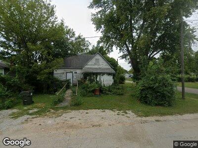
20 Cofield St Aurora, MO 65605
Estimated Value: $57,000 - $129,000
2
Beds
1
Bath
902
Sq Ft
$101/Sq Ft
Est. Value
About This Home
This home is located at 20 Cofield St, Aurora, MO 65605 and is currently estimated at $90,829, approximately $100 per square foot. 20 Cofield St is a home located in Lawrence County with nearby schools including Pate Early Childhood Center, Robinson Intermediate School, and Robinson Elementary School.
Ownership History
Date
Name
Owned For
Owner Type
Purchase Details
Closed on
Jul 25, 2013
Sold by
Clemen Asset Management Llc
Bought by
Dutton Gary D
Current Estimated Value
Purchase Details
Closed on
Jul 16, 2012
Sold by
Ireland Emily Kathleen
Bought by
Clemen Asset Management Llc
Purchase Details
Closed on
Jan 16, 2012
Sold by
Clemen Asset Management Llc
Bought by
Ireland Emily Kathleen
Home Financials for this Owner
Home Financials are based on the most recent Mortgage that was taken out on this home.
Original Mortgage
$21,000
Interest Rate
7%
Mortgage Type
Seller Take Back
Purchase Details
Closed on
Nov 4, 2009
Sold by
Hicks Jerry A and Hicks Ellen C
Bought by
Milazzo Cate Hicks
Create a Home Valuation Report for This Property
The Home Valuation Report is an in-depth analysis detailing your home's value as well as a comparison with similar homes in the area
Home Values in the Area
Average Home Value in this Area
Purchase History
| Date | Buyer | Sale Price | Title Company |
|---|---|---|---|
| Dutton Gary D | -- | None Available | |
| Clemen Asset Management Llc | -- | Gat | |
| Ireland Emily Kathleen | $21,000 | None Available | |
| Clemen Asset Management Llc | -- | None Available | |
| Milazzo Cate Hicks | -- | -- | |
| Hicks Milazzo Cate | -- | None Available |
Source: Public Records
Mortgage History
| Date | Status | Borrower | Loan Amount |
|---|---|---|---|
| Previous Owner | Ireland Emily Kathleen | $21,000 |
Source: Public Records
Tax History Compared to Growth
Tax History
| Year | Tax Paid | Tax Assessment Tax Assessment Total Assessment is a certain percentage of the fair market value that is determined by local assessors to be the total taxable value of land and additions on the property. | Land | Improvement |
|---|---|---|---|---|
| 2024 | $167 | $3,320 | $490 | $2,830 |
| 2023 | $167 | $3,320 | $490 | $2,830 |
| 2022 | $156 | $3,110 | $490 | $2,620 |
| 2021 | $156 | $3,110 | $490 | $2,620 |
| 2020 | $148 | $2,920 | $300 | $2,620 |
| 2019 | $145 | $2,920 | $300 | $2,620 |
| 2018 | $145 | $2,920 | $300 | $2,620 |
| 2017 | $144 | $2,920 | $300 | $2,620 |
| 2016 | -- | $2,680 | $300 | $2,380 |
| 2015 | -- | $2,680 | $300 | $2,380 |
| 2014 | -- | $2,680 | $300 | $2,380 |
Source: Public Records
Map
Nearby Homes
- 31 W Olive St
- 133 W Delta St
- 305 Crescent St
- 310 W Delta St
- 322 E Cofield St
- 110 W Locust St
- 238 E Delta St
- 219 N Rinker Ave
- 318 W Olive St
- 301 W Pleasant St
- 220 S Oak Ave
- 312 S Park Ave
- 000 State Highway 39
- 430 W Pleasant St
- 128 W Summit St
- Lot 2 Summit Grove Estates
- 328 W Summit St
- 330 W Summit St
- 537 S Jefferson Ave
- 308 W Church St
- 20 Cofield St
- 18 W Cofield St
- 12 W Cofield St
- 17 Cofield St
- 10 W Cofield St
- 11 W Cofield St Unit 1303297
- 11 W Cofield St
- 9 W Cofield St
- 227 Mcnatt Ave
- 114 W Cofield St
- 5 Cofield St
- 205 Wilson Ave
- 215 Mcnatt Ave
- 315 Mc Natt Ave
- 9 W Crescent St
- 111 W Crescent St
- 201 Mcnatt Ave
- 0 Mcnatt Ave Unit 11400539
- 0 Mcnatt Ave Unit 60017614
- 0 Mcnatt Ave Unit 60119359