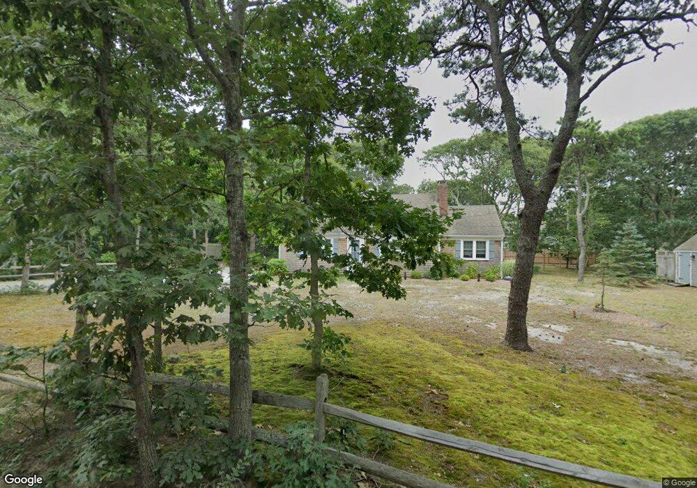
20 Fern Rd Eastham, MA 02642
Estimated Value: $676,000 - $793,002
3
Beds
1
Bath
800
Sq Ft
$928/Sq Ft
Est. Value
About This Home
This home is located at 20 Fern Rd, Eastham, MA 02642 and is currently estimated at $742,001, approximately $927 per square foot. 20 Fern Rd is a home located in Barnstable County with nearby schools including Eastham Elementary School, Nauset Regional Middle School, and Nauset Regional High School.
Ownership History
Date
Name
Owned For
Owner Type
Purchase Details
Closed on
Dec 2, 2022
Sold by
Malloy Thomas and Malloy Joan
Bought by
Malloy Ft
Current Estimated Value
Purchase Details
Closed on
Feb 6, 1998
Sold by
Davis Kenneth and Davis Katherine
Bought by
Malloy Thomas and Malloy Michael D
Home Financials for this Owner
Home Financials are based on the most recent Mortgage that was taken out on this home.
Original Mortgage
$108,000
Interest Rate
6.95%
Mortgage Type
Purchase Money Mortgage
Purchase Details
Closed on
Aug 19, 1988
Sold by
Henderson Edward
Bought by
Greenfield Marc A
Create a Home Valuation Report for This Property
The Home Valuation Report is an in-depth analysis detailing your home's value as well as a comparison with similar homes in the area
Home Values in the Area
Average Home Value in this Area
Purchase History
| Date | Buyer | Sale Price | Title Company |
|---|---|---|---|
| Malloy Ft | -- | None Available | |
| Malloy Thomas | $135,000 | -- | |
| Greenfield Marc A | $160,000 | -- |
Source: Public Records
Mortgage History
| Date | Status | Borrower | Loan Amount |
|---|---|---|---|
| Previous Owner | Greenfield Marc A | $108,000 |
Source: Public Records
Tax History Compared to Growth
Tax History
| Year | Tax Paid | Tax Assessment Tax Assessment Total Assessment is a certain percentage of the fair market value that is determined by local assessors to be the total taxable value of land and additions on the property. | Land | Improvement |
|---|---|---|---|---|
| 2025 | $5,244 | $680,100 | $402,300 | $277,800 |
| 2024 | $4,627 | $660,100 | $390,500 | $269,600 |
| 2023 | $4,144 | $572,400 | $337,500 | $234,900 |
| 2022 | $4,021 | $468,600 | $301,400 | $167,200 |
| 2021 | $3,894 | $424,200 | $273,900 | $150,300 |
| 2020 | $3,664 | $420,200 | $279,600 | $140,600 |
| 2019 | $3,383 | $410,000 | $271,400 | $138,600 |
| 2018 | $3,340 | $400,000 | $263,500 | $136,500 |
| 2017 | $3,113 | $394,100 | $258,400 | $135,700 |
| 2016 | $2,332 | $313,500 | $184,600 | $128,900 |
| 2015 | $2,185 | $307,800 | $180,900 | $126,900 |
Source: Public Records
Map
Nearby Homes
- 30 Summit Ave
- 10 Fern Rd
- 2535 Herring Brook Rd
- 15 Fern Rd
- 2555 Herring Brook Rd
- 5 Fern Rd
- 2505 Herring Brook Rd
- 2575 Herring Brook Rd
- 50 Field Rd
- 40 Fern Rd
- 155 Summit Ave
- 110 Summit Ave
- 15 Summit Ave
- 320 Edgewood Rd
- 70 Field Rd
- 2700 Herringbrook Rd
- 2550 Herring Brook Rd
- 335 Edgewood Rd
- 2605 Herring Brook Rd
- 140 Summit Ave