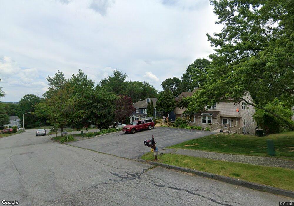
20 Gates Rd Unit B Worcester, MA 01603
Webster Square NeighborhoodEstimated Value: $313,000 - $360,000
2
Beds
2
Baths
1,228
Sq Ft
$280/Sq Ft
Est. Value
About This Home
This home is located at 20 Gates Rd Unit B, Worcester, MA 01603 and is currently estimated at $343,870, approximately $280 per square foot. 20 Gates Rd Unit B is a home located in Worcester County with nearby schools including Gates Lane, Jacob Hiatt Magnet School, and Chandler Magnet.
Ownership History
Date
Name
Owned For
Owner Type
Purchase Details
Closed on
Dec 22, 2021
Sold by
Fenton Paul F
Bought by
Supernor Paula M and Supernor Alexandria L
Current Estimated Value
Home Financials for this Owner
Home Financials are based on the most recent Mortgage that was taken out on this home.
Original Mortgage
$257,050
Outstanding Balance
$235,509
Interest Rate
2.98%
Mortgage Type
Purchase Money Mortgage
Estimated Equity
$108,361
Purchase Details
Closed on
Jun 2, 1987
Sold by
Gates Ln Rt
Bought by
Sternburg Scott D
Home Financials for this Owner
Home Financials are based on the most recent Mortgage that was taken out on this home.
Original Mortgage
$80,700
Interest Rate
10.25%
Mortgage Type
Purchase Money Mortgage
Create a Home Valuation Report for This Property
The Home Valuation Report is an in-depth analysis detailing your home's value as well as a comparison with similar homes in the area
Home Values in the Area
Average Home Value in this Area
Purchase History
| Date | Buyer | Sale Price | Title Company |
|---|---|---|---|
| Supernor Paula M | $265,000 | None Available | |
| Sternburg Scott D | $100,900 | -- |
Source: Public Records
Mortgage History
| Date | Status | Borrower | Loan Amount |
|---|---|---|---|
| Open | Supernor Paula M | $257,050 | |
| Previous Owner | Sternburg Scott D | $80,700 |
Source: Public Records
Tax History Compared to Growth
Tax History
| Year | Tax Paid | Tax Assessment Tax Assessment Total Assessment is a certain percentage of the fair market value that is determined by local assessors to be the total taxable value of land and additions on the property. | Land | Improvement |
|---|---|---|---|---|
| 2025 | $3,842 | $291,300 | $0 | $291,300 |
| 2024 | $3,861 | $280,800 | $0 | $280,800 |
| 2023 | $3,480 | $242,700 | $0 | $242,700 |
| 2022 | $3,555 | $233,700 | $0 | $233,700 |
| 2021 | $3,420 | $210,100 | $0 | $210,100 |
| 2020 | $2,944 | $173,200 | $0 | $173,200 |
| 2019 | $3,118 | $173,200 | $0 | $173,200 |
| 2018 | $3,147 | $166,400 | $0 | $166,400 |
| 2017 | $2,401 | $124,900 | $0 | $124,900 |
| 2016 | $2,387 | $115,800 | $0 | $115,800 |
| 2015 | $2,324 | $115,800 | $0 | $115,800 |
| 2014 | $2,321 | $118,800 | $0 | $118,800 |
Source: Public Records
Map
Nearby Homes
- 28 Baker St
- 19 Monticello Dr
- 23 Lakewood St
- 40 Lakewood St
- 68 Crest Cir
- 45 Wildwood Ave
- 76 Parsons Hill Dr Unit A
- 57 1st St
- 114 Henshaw St
- 170 Stafford St
- 16 Ward Farm Cir
- 47 4th St
- 45 Fourth St
- 45 Fourth St Unit Right
- 114 Lovell St
- 21 Healy Rd
- 1022 Main St
- 5 Stoneland Rd
- 12 Stoneland Rd
- 21 Hitchcock Rd
- 20 Gates Rd Unit A
- 20 Gates Rd
- 20b Gates Rd Unit 20B
- 22B Gates Rd
- 22 A Gates Rd Unit 27L
- 18 Gates Rd
- 16B Gates Rd
- 16A Gates Rd
- 75 Gates Ln
- 24 A Gates Rd Unit 24A
- 24 Gates Rd Unit B
- 24 Gates Rd Unit B
- 22 Gates Rd Unit B
- 22 Gates Rd Unit A
- 24 Gates Rd Unit B
- 24 Gates Rd Unit A
- 24 Gates Rd Unit 26R
- 22 Gates Rd
- 24 Gates Rd
- 24 Gates Rd Unit R