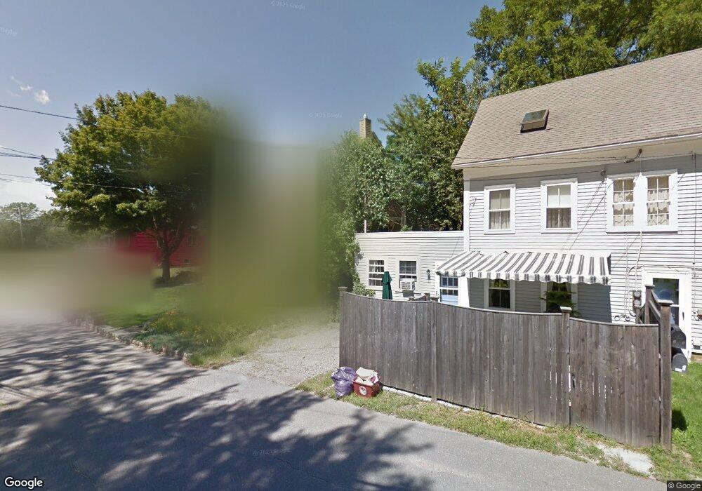
20 Gee Ave Gloucester, MA 01930
Estimated Value: $775,699 - $863,000
3
Beds
3
Baths
2,110
Sq Ft
$383/Sq Ft
Est. Value
About This Home
This home is located at 20 Gee Ave, Gloucester, MA 01930 and is currently estimated at $807,175, approximately $382 per square foot. 20 Gee Ave is a home located in Essex County with nearby schools including Beeman Memorial, Ralph B O'maley Middle School, and Gloucester High School.
Ownership History
Date
Name
Owned For
Owner Type
Purchase Details
Closed on
Mar 11, 2020
Sold by
Sanborn Nancy A and Sanborn Timothy J
Bought by
Sanborn Ft
Current Estimated Value
Purchase Details
Closed on
Jun 1, 1977
Bought by
Sanborn Timothy J and Sanborn Nancy
Create a Home Valuation Report for This Property
The Home Valuation Report is an in-depth analysis detailing your home's value as well as a comparison with similar homes in the area
Purchase History
| Date | Buyer | Sale Price | Title Company |
|---|---|---|---|
| Sanborn Ft | -- | None Available | |
| Sanborn Timothy J | $37,000 | -- |
Source: Public Records
Mortgage History
| Date | Status | Borrower | Loan Amount |
|---|---|---|---|
| Previous Owner | Sanborn Timothy J | $50,000 | |
| Previous Owner | Sanborn Timothy J | $170,000 | |
| Previous Owner | Sanborn Timothy J | $150,000 | |
| Previous Owner | Sanborn Timothy J | $45,000 |
Source: Public Records
Tax History
| Year | Tax Paid | Tax Assessment Tax Assessment Total Assessment is a certain percentage of the fair market value that is determined by local assessors to be the total taxable value of land and additions on the property. | Land | Improvement |
|---|---|---|---|---|
| 2025 | $6,508 | $669,500 | $194,700 | $474,800 |
| 2024 | $6,424 | $660,200 | $185,400 | $474,800 |
| 2023 | $6,160 | $581,700 | $165,600 | $416,100 |
| 2022 | $5,980 | $509,800 | $144,000 | $365,800 |
| 2021 | $5,783 | $464,900 | $130,900 | $334,000 |
| 2020 | $5,732 | $464,900 | $130,900 | $334,000 |
| 2019 | $5,505 | $433,800 | $130,900 | $302,900 |
| 2018 | $5,319 | $411,400 | $130,900 | $280,500 |
| 2017 | $5,161 | $391,300 | $124,700 | $266,600 |
| 2016 | $5,055 | $371,400 | $130,000 | $241,400 |
| 2015 | $4,829 | $353,800 | $130,000 | $223,800 |
Source: Public Records
Map
Nearby Homes
- 3 Deacon Farm Ln
- 2 Breezy Point Rd
- 31 Echo Ave
- 672 Washington St
- 13 Honeysuckle Rd
- 13 Mystic Ave
- 8 Mystic Ave
- 98 Maplewood Ave
- 167 Atlantic St
- 6 Monroe Ct
- 178 Atlantic St
- 226 Atlantic St
- 12 Arthur St
- 9 Cleveland Place
- 40 Sargent St
- 19 Trask St Unit 2
- 50 Warner St
- 113 Pleasant St
- 33 Maplewood Ave Unit 310
- 15 Mount Vernon St
Your Personal Tour Guide
Ask me questions while you tour the home.