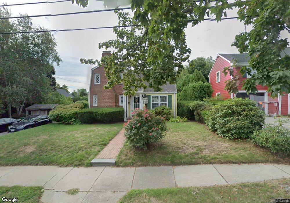
20 Grant St West Newton, MA 02465
West Newton NeighborhoodEstimated Value: $1,124,000 - $1,224,000
2
Beds
2
Baths
1,626
Sq Ft
$726/Sq Ft
Est. Value
About This Home
This home is located at 20 Grant St, West Newton, MA 02465 and is currently estimated at $1,180,779, approximately $726 per square foot. 20 Grant St is a home located in Middlesex County with nearby schools including Franklin Elementary School, F.A. Day Middle School, and Newton North High School.
Create a Home Valuation Report for This Property
The Home Valuation Report is an in-depth analysis detailing your home's value as well as a comparison with similar homes in the area
Home Values in the Area
Average Home Value in this Area
Tax History Compared to Growth
Tax History
| Year | Tax Paid | Tax Assessment Tax Assessment Total Assessment is a certain percentage of the fair market value that is determined by local assessors to be the total taxable value of land and additions on the property. | Land | Improvement |
|---|---|---|---|---|
| 2025 | $8,724 | $890,200 | $806,100 | $84,100 |
| 2024 | $8,436 | $864,300 | $782,600 | $81,700 |
| 2023 | $7,809 | $767,100 | $595,000 | $172,100 |
| 2022 | $7,472 | $710,300 | $550,900 | $159,400 |
| 2021 | $7,210 | $670,100 | $519,700 | $150,400 |
| 2020 | $6,996 | $670,100 | $519,700 | $150,400 |
| 2019 | $6,799 | $650,600 | $504,600 | $146,000 |
| 2018 | $6,491 | $599,900 | $458,000 | $141,900 |
| 2017 | $6,293 | $565,900 | $432,100 | $133,800 |
| 2016 | $6,019 | $528,900 | $403,800 | $125,100 |
| 2015 | $5,739 | $494,300 | $377,400 | $116,900 |
Source: Public Records
Map
Nearby Homes
- 56 Dearborn St
- 44 Westland Ave
- 287 Cherry St Unit 2
- 41 Kilburn Rd
- 75 Cherry St
- 265-267 River St Unit 267
- 265-267 River St Unit 265
- 14 Cottage Place Unit 14
- 24 Tolman St Unit A
- 106 River St Unit 18
- 106 River St Unit 2
- 106 River St Unit 14
- 2 Elm St Unit 6
- 2 Elm St Unit 8
- 371 Cherry St
- 76 Taft Ave Unit 1
- 76 Taft Ave
- 76 Taft Ave Unit 2
- 31-37 Washington Ave
- 11 Derby St