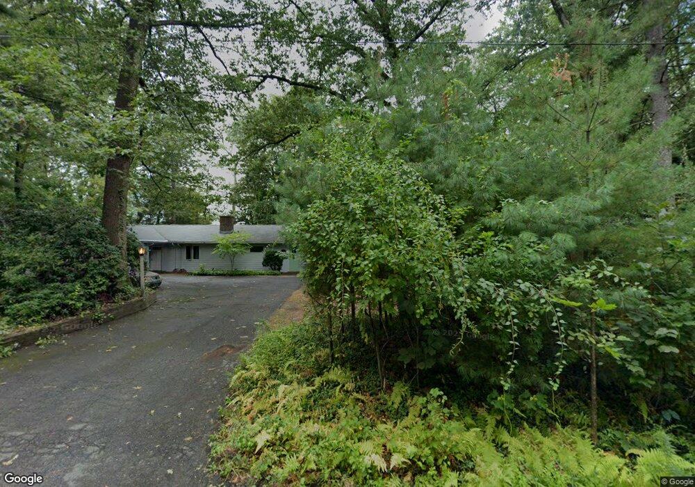
20 Hills Rd Amherst, MA 01002
Estimated Value: $782,000 - $1,064,000
5
Beds
4
Baths
3,886
Sq Ft
$223/Sq Ft
Est. Value
About This Home
This home is located at 20 Hills Rd, Amherst, MA 01002 and is currently estimated at $867,254, approximately $223 per square foot. 20 Hills Rd is a home located in Hampshire County with nearby schools including Wildwood Elementary School, Amherst Regional Middle School, and Amherst Regional High School.
Ownership History
Date
Name
Owned For
Owner Type
Purchase Details
Closed on
Oct 31, 2008
Sold by
Elen William and Elen Field T
Bought by
Marra Franklin R
Current Estimated Value
Home Financials for this Owner
Home Financials are based on the most recent Mortgage that was taken out on this home.
Original Mortgage
$247,733
Outstanding Balance
$161,270
Interest Rate
5.83%
Mortgage Type
Purchase Money Mortgage
Estimated Equity
$687,403
Purchase Details
Closed on
Mar 10, 2003
Sold by
Field Helen L and Field William F
Bought by
Field 2003 William and Field Helen
Create a Home Valuation Report for This Property
The Home Valuation Report is an in-depth analysis detailing your home's value as well as a comparison with similar homes in the area
Home Values in the Area
Average Home Value in this Area
Purchase History
| Date | Buyer | Sale Price | Title Company |
|---|---|---|---|
| Marra Franklin R | $412,888 | -- | |
| Field 2003 William | -- | -- |
Source: Public Records
Mortgage History
| Date | Status | Borrower | Loan Amount |
|---|---|---|---|
| Open | Marra Franklin R | $247,733 |
Source: Public Records
Tax History Compared to Growth
Tax History
| Year | Tax Paid | Tax Assessment Tax Assessment Total Assessment is a certain percentage of the fair market value that is determined by local assessors to be the total taxable value of land and additions on the property. | Land | Improvement |
|---|---|---|---|---|
| 2025 | $129 | $716,500 | $207,300 | $509,200 |
| 2024 | $12,550 | $678,000 | $195,700 | $482,300 |
| 2023 | $11,947 | $594,400 | $178,100 | $416,300 |
| 2022 | $11,473 | $539,400 | $169,100 | $370,300 |
| 2021 | $10,914 | $500,200 | $156,700 | $343,500 |
| 2020 | $10,664 | $500,200 | $156,700 | $343,500 |
| 2019 | $10,235 | $469,500 | $156,700 | $312,800 |
| 2018 | $9,925 | $469,500 | $156,700 | $312,800 |
| 2017 | $9,417 | $431,400 | $149,300 | $282,100 |
| 2016 | $9,154 | $431,400 | $149,300 | $282,100 |
| 2015 | $8,861 | $431,400 | $149,300 | $282,100 |
Source: Public Records
Map
Nearby Homes
- 60 Red Gate Ln
- 0 Red Gate Ln Unit 73348273
- 305 Strong St
- 74 N Whitney St
- 785 Main St
- 0 S Sunset Ave
- 24 S Sunset Ave
- 185 Cherry Ln
- 12 Moorland St
- 24 Moorland St
- 66 Harlow Dr
- 13 Harlow Dr
- Lot A Kingman Rd
- 110 Grantwood Dr
- 237 Shutesbury Rd
- 958 E Pleasant St
- 75 State St
- 53 Henry St
- 14 Pebble Ridge Rd
- 12 Chadwick Ct