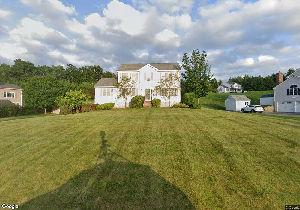
20 Longwood Ave Londonderry, NH 03053
Estimated Value: $739,321 - $833,000
3
Beds
3
Baths
2,620
Sq Ft
$296/Sq Ft
Est. Value
About This Home
This home is located at 20 Longwood Ave, Londonderry, NH 03053 and is currently estimated at $776,080, approximately $296 per square foot. 20 Longwood Ave is a home with nearby schools including North Londonderry Elementary School, Londonderry Middle School, and Londonderry Senior High School.
Ownership History
Date
Name
Owned For
Owner Type
Purchase Details
Closed on
Aug 27, 1999
Sold by
Jvl Const Co Inc
Bought by
Mcelrath Bruce F and Mcelrath Nancy A
Current Estimated Value
Home Financials for this Owner
Home Financials are based on the most recent Mortgage that was taken out on this home.
Original Mortgage
$143,150
Interest Rate
7.53%
Create a Home Valuation Report for This Property
The Home Valuation Report is an in-depth analysis detailing your home's value as well as a comparison with similar homes in the area
Home Values in the Area
Average Home Value in this Area
Purchase History
| Date | Buyer | Sale Price | Title Company |
|---|---|---|---|
| Mcelrath Bruce F | $180,100 | -- |
Source: Public Records
Mortgage History
| Date | Status | Borrower | Loan Amount |
|---|---|---|---|
| Open | Mcelrath Bruce F | $309,600 | |
| Closed | Mcelrath Bruce F | $77,400 | |
| Closed | Mcelrath Bruce F | $143,150 |
Source: Public Records
Tax History Compared to Growth
Tax History
| Year | Tax Paid | Tax Assessment Tax Assessment Total Assessment is a certain percentage of the fair market value that is determined by local assessors to be the total taxable value of land and additions on the property. | Land | Improvement |
|---|---|---|---|---|
| 2024 | $9,387 | $581,600 | $181,200 | $400,400 |
| 2023 | $9,102 | $581,600 | $181,200 | $400,400 |
| 2022 | $8,963 | $485,000 | $151,000 | $334,000 |
| 2021 | $8,914 | $485,000 | $151,000 | $334,000 |
| 2020 | $8,324 | $413,900 | $121,800 | $292,100 |
| 2019 | $8,026 | $413,900 | $121,800 | $292,100 |
| 2018 | $7,595 | $348,400 | $100,900 | $247,500 |
| 2017 | $7,529 | $348,400 | $100,900 | $247,500 |
| 2016 | $7,491 | $348,400 | $100,900 | $247,500 |
| 2015 | $7,325 | $348,500 | $100,900 | $247,600 |
| 2014 | $7,350 | $348,500 | $100,900 | $247,600 |
| 2011 | -- | $318,300 | $100,900 | $217,400 |
Source: Public Records
Map
Nearby Homes
- 55 Norwich Place
- 40 Pinyon Place
- 34 Conifer Place
- 19 Auburn Rd
- 612 Megan Dr
- 628 Megan Dr
- 1991 Bodwell Rd Unit 30
- 10 Auburn Rd
- 54 Daniel Rd
- 50 Daniel Rd
- 52 Daniel Rd
- 22 Eastmeadow Way
- 9 Dattillo Rd
- 27 Cove Dr
- 7 Gena Ave
- 8 Mark Ave
- 90 Forest Hill Way Unit 52
- 12 Forest Hill Way Unit 57
- 103 Rockingham Rd Unit 1
- 103 Rockingham Rd Unit 2
- 18 Longwood Ave
- 22 Longwood Ave
- 27 Longwood Ave
- 25 Longwood Ave
- 29 Longwood Ave
- 23 Longwood Ave
- 16 Longwood Ave
- 21 Longwood Ave
- 14 Longwood Ave
- 105 Auburn Rd
- 103 Auburn Rd
- 19 Longwood Ave
- 12 Longwood Ave
- 101 Auburn Rd
- 17 Longwood Ave
- 99 Auburn Rd
- 97 Auburn Rd
- 15 Longwood Ave
- 1 Hillcrest Ln
- 95 Auburn Rd